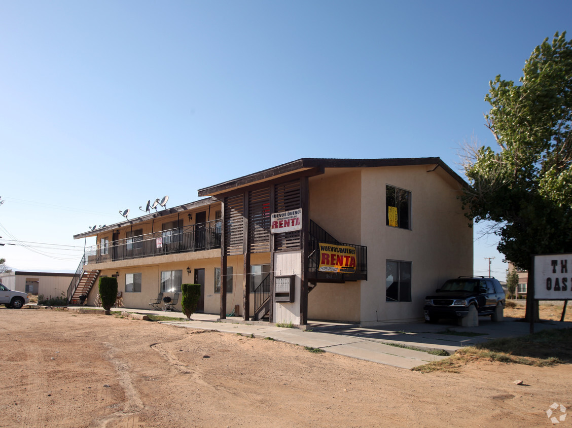


2 Beds
$1,200
Total Monthly Price
12 Month Lease
Total Monthly Price
New
Prices include all required monthly fees.
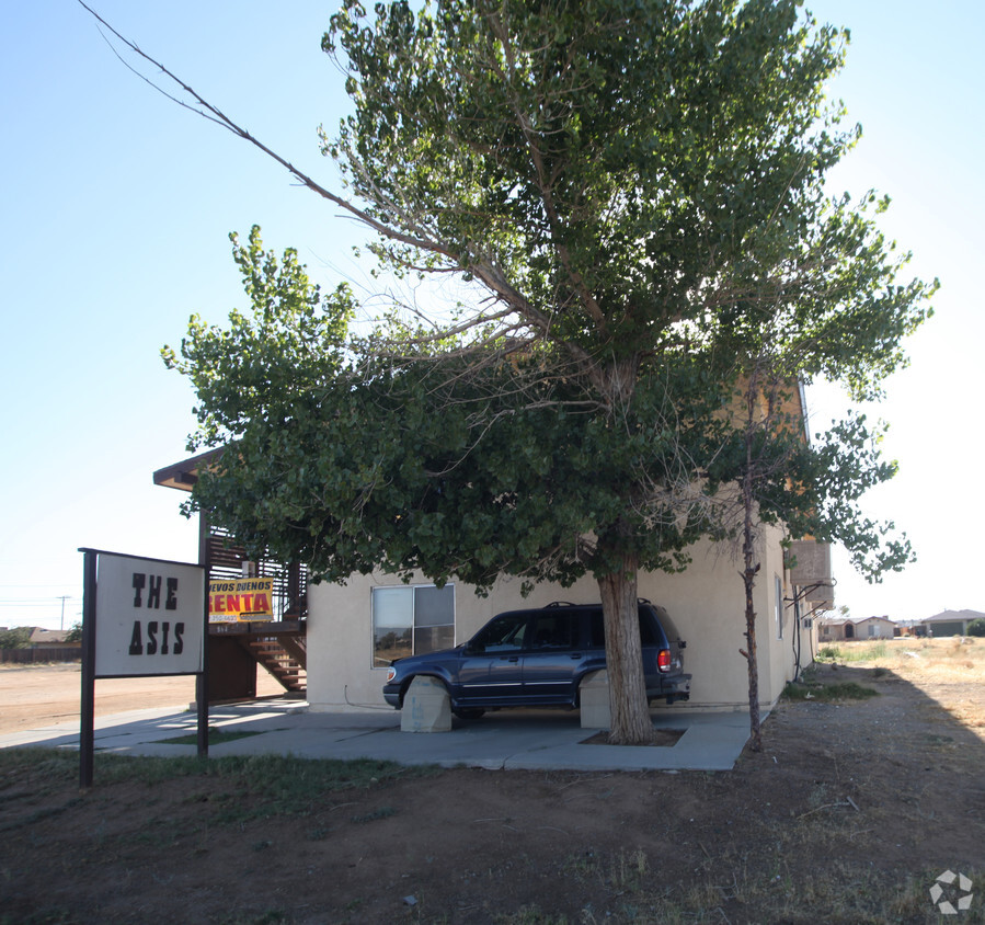
10730 Garibaldi Dr Unit B


