
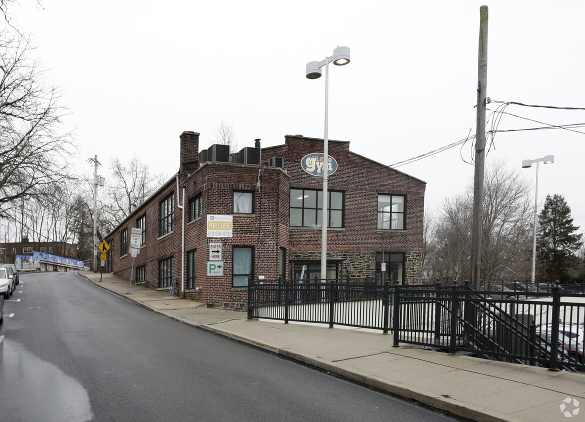
Metropolitan Narberth Hall
300 N Essex Ave,
Narberth, PA 19072
$1,505 - $2,270
Studio - 2 Beds


The Lofts at Narberth Station is an apartment community located in Montgomery County and the 19072 ZIP Code.
Air Conditioning
Refrigerator
Tub/Shower
Heating
Ranked among the best places to live in Pennsylvania, Narberth is a borough in Montgomery County surrounded by Lower Merion Township. One of many neighborhoods on the historic Pennsylvania Main Line, Narberth occupies a central locale equally convenient to Center City Philadelphia, King of Prussia, and Valley Forge National Park.
With a population of about 4,000 people, Narberth is home to a close-knit community. Families enjoy having access to Narberth’s excellent schools. Residents are afforded short commutes thanks Narberth’s convenient location near major roadways and public transportation.
Learn more about living in Narberth| Colleges & Universities | Distance | ||
|---|---|---|---|
| Colleges & Universities | Distance | ||
| Drive: | 7 min | 2.2 mi | |
| Drive: | 8 min | 2.9 mi | |
| Drive: | 10 min | 3.0 mi | |
| Drive: | 10 min | 3.6 mi |
Transportation options available in Narberth include Malvern And 63Rd, located 2.4 miles from The Lofts at Narberth Station. The Lofts at Narberth Station is near Philadelphia International, located 12.4 miles or 31 minutes away, and Trenton Mercer, located 40.4 miles or 63 minutes away.
| Transit / Subway | Distance | ||
|---|---|---|---|
| Transit / Subway | Distance | ||
|
|
Drive: | 6 min | 2.4 mi |
|
|
Drive: | 6 min | 2.5 mi |
|
|
Drive: | 7 min | 2.7 mi |
|
|
Drive: | 8 min | 3.0 mi |
|
|
Drive: | 7 min | 3.2 mi |
| Commuter Rail | Distance | ||
|---|---|---|---|
| Commuter Rail | Distance | ||
|
|
Walk: | 2 min | 0.1 mi |
|
|
Walk: | 15 min | 0.8 mi |
|
|
Drive: | 5 min | 1.6 mi |
|
|
Drive: | 5 min | 1.8 mi |
|
|
Drive: | 5 min | 2.0 mi |
| Airports | Distance | ||
|---|---|---|---|
| Airports | Distance | ||
|
Philadelphia International
|
Drive: | 31 min | 12.4 mi |
|
Trenton Mercer
|
Drive: | 63 min | 40.4 mi |
Time and distance from The Lofts at Narberth Station.
| Shopping Centers | Distance | ||
|---|---|---|---|
| Shopping Centers | Distance | ||
| Walk: | 15 min | 0.8 mi | |
| Walk: | 19 min | 1.0 mi | |
| Drive: | 3 min | 1.1 mi |
| Parks and Recreation | Distance | ||
|---|---|---|---|
| Parks and Recreation | Distance | ||
|
Merion Botanical Park
|
Drive: | 5 min | 1.4 mi |
|
Arboretum of the Barnes Foundation
|
Drive: | 5 min | 1.7 mi |
|
Haverford College Arboretum
|
Drive: | 7 min | 2.5 mi |
|
Rolling Hill Park
|
Drive: | 13 min | 3.8 mi |
|
Cobbs Creek Park
|
Drive: | 9 min | 4.1 mi |
| Hospitals | Distance | ||
|---|---|---|---|
| Hospitals | Distance | ||
| Drive: | 11 min | 4.1 mi | |
| Drive: | 11 min | 4.6 mi | |
| Drive: | 13 min | 4.6 mi |
| Military Bases | Distance | ||
|---|---|---|---|
| Military Bases | Distance | ||
| Drive: | 25 min | 12.4 mi |
What Are Walk Score®, Transit Score®, and Bike Score® Ratings?
Walk Score® measures the walkability of any address. Transit Score® measures access to public transit. Bike Score® measures the bikeability of any address.
What is a Sound Score Rating?
A Sound Score Rating aggregates noise caused by vehicle traffic, airplane traffic and local sources
36 N Narberth Ave
Narberth, PA 19072


