
Kinect at Southport
2301 Jefferson Blvd,
Sacramento, CA 95691
$1,550 - $3,049
Studio - 3 Beds

Bedrooms
1 - 2 bd
Bathrooms
1 ba
Square Feet
760 - 980 sq ft

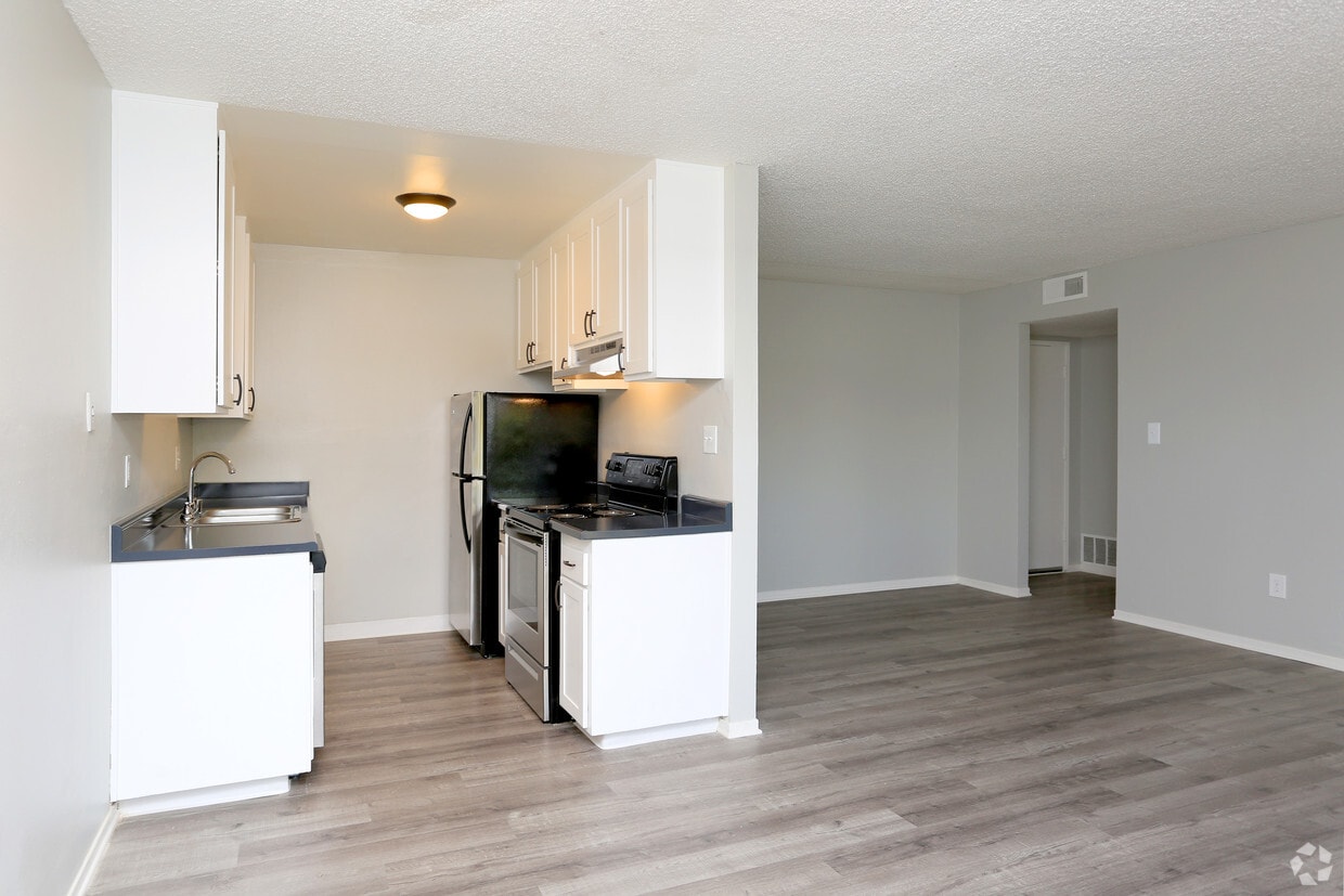
Welcome to The Huntington Apartments in Sacramento, CA! Our apartments feature gourmet kitchens with stainless steel appliances, garbage disposal, carpet, vinyl plank flooring, ceiling fan, air conditioning, linen closet, and cable ready with USB outlets. Enjoy our pool and courtyard, BBQ area, and on-site laundry facility for your convenience. Each apartment also comes with a covered carport for parking. Experience comfortable living at The Huntington Apartments.
The Huntington Apartments is an apartment community located in Sacramento County and the 95826 ZIP Code. This area is served by the Sacramento City Unified School District attendance zone.
Unique Features
Laundry Facilities
Elevator
Clubhouse
Controlled Access
Recycling
Grill
Gated
24 Hour Access
Air Conditioning
Dishwasher
High Speed Internet Access
Refrigerator
Wi-Fi
Tub/Shower
Disposal
Freezer
Southeastern Sacramento gives residents a chance to live in a spread-out residential area just 25 minutes from downtown. Located near Tahoe Park and the U.C. Davis Medical Center, the neighborhood displays old and new homes alike. Locals in Southeastern Sacramento enjoy a suburban neighborhood and the option of attending shows and taking in the delights of Old Sacramento just a short distance away.
Sacramento, California’s capital city, continues to cement its reputation as a developing metropolitan center in the middle of California. With lower rents than in the San Francisco Bay Area and close proximity to vacation spots in Lake Tahoe and Yosemite National Park, Sacramento proves to be a great option for travelers who want a taste of California at a more affordable price.
Learn more about living in Southeastern SacramentoCompare neighborhood and city base rent averages by bedroom.
| Southeastern Sacramento | Sacramento, CA | |
|---|---|---|
| Studio | $1,069 | $1,478 |
| 1 Bedroom | $1,606 | $1,570 |
| 2 Bedrooms | $1,774 | $1,873 |
| 3 Bedrooms | $2,344 | $2,423 |
| Colleges & Universities | Distance | ||
|---|---|---|---|
| Colleges & Universities | Distance | ||
| Drive: | 5 min | 2.5 mi | |
| Drive: | 11 min | 7.2 mi | |
| Drive: | 17 min | 8.8 mi | |
| Drive: | 19 min | 9.6 mi |


Transportation options available in Sacramento include College Greens, located 0.1 mile from The Huntington Apartments. The Huntington Apartments is near Sacramento International, located 18.7 miles or 26 minutes away.
| Transit / Subway | Distance | ||
|---|---|---|---|
| Transit / Subway | Distance | ||
|
|
Walk: | 2 min | 0.1 mi |
|
|
Drive: | 2 min | 1.3 mi |
|
|
Drive: | 3 min | 1.4 mi |
|
|
Drive: | 3 min | 2.0 mi |
|
|
Drive: | 3 min | 2.1 mi |
| Commuter Rail | Distance | ||
|---|---|---|---|
| Commuter Rail | Distance | ||
| Drive: | 12 min | 6.9 mi | |
|
|
Drive: | 29 min | 18.5 mi |
| Drive: | 25 min | 20.4 mi | |
|
|
Drive: | 30 min | 20.7 mi |
|
|
Drive: | 44 min | 33.0 mi |
| Airports | Distance | ||
|---|---|---|---|
| Airports | Distance | ||
|
Sacramento International
|
Drive: | 26 min | 18.7 mi |
Scores provided by
Traffic
ActiveAirport
CalmBusinesses
ActiveScores provided by
HowLoud What is a Sound Score Rating? A Sound Score Rating aggregates noise caused by vehicle traffic, airplane traffic and local sources. How It WorksTime and distance from The Huntington Apartments.
| Shopping Centers | Distance | ||
|---|---|---|---|
| Shopping Centers | Distance | ||
| Walk: | 2 min | 0.1 mi | |
| Walk: | 2 min | 0.1 mi | |
| Walk: | 10 min | 0.6 mi |
| Parks and Recreation | Distance | ||
|---|---|---|---|
| Parks and Recreation | Distance | ||
|
Paradise Beach County Recreation Area
|
Drive: | 6 min | 3.3 mi |
|
Sutter's Fort State Historical Monument
|
Drive: | 8 min | 4.9 mi |
|
River Bend Park
|
Drive: | 14 min | 5.9 mi |
|
Governor's Mansion State Historic Park
|
Drive: | 10 min | 6.1 mi |
|
River City Paddlers
|
Drive: | 10 min | 6.2 mi |
| Hospitals | Distance | ||
|---|---|---|---|
| Hospitals | Distance | ||
| Drive: | 2 min | 1.3 mi | |
| Drive: | 6 min | 4.1 mi | |
| Drive: | 8 min | 4.5 mi |
| Military Bases | Distance | ||
|---|---|---|---|
| Military Bases | Distance | ||
| Drive: | 28 min | 12.3 mi |
What Are Walk Score®, Transit Score®, and Bike Score® Ratings?
Walk Score® measures the walkability of any address. Transit Score® measures access to public transit. Bike Score® measures the bikeability of any address.
What is a Sound Score Rating?
A Sound Score Rating aggregates noise caused by vehicle traffic, airplane traffic and local sources.
3225 Julliard Dr
Sacramento, CA 95826


