
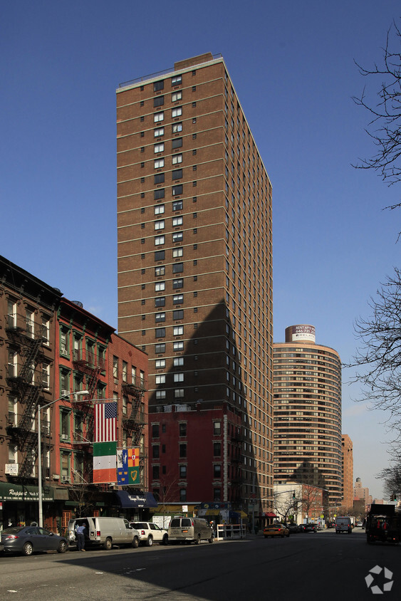
10 Halletts Point
10, 20, 30 Halletts Pt,
Astoria, NY 11102
$3,651 - $6,971
Studio - 2 Beds

The Highgate is a luxury residential building located in the idyllic Carnegie Hill section of Manhattan’s Upper East Side. Conveniently located near Central Park, shopping along Madison Avenue, and easy access to transportation, The Highgate features a 24-Hour full service doorman and concierge, rooftop sundeck and on-site laundry facilities.
The Highgate is an apartment community located in New York County and the 10128 ZIP Code. This area is served by the New York City Geographic District # 2 attendance zone.
Unique Features
Fitness Center
Laundry Facilities
Elevator
Doorman
Washer/Dryer
Air Conditioning
Dishwasher
Microwave
There's a reason New York City has been the backdrop of countless films, novels, and lifelong ambitions; it simply does things at a scale and intensity that no other place in the country matches. Spread across five distinct boroughs — Manhattan, Brooklyn, Queens, the Bronx, and Staten Island — NYC offers wildly different ways to experience daily life depending on where you plant your roots. Whether you're drawn to the electric pace of Midtown, the tree-lined streets of Park Slope, or the arts-forward energy of Astoria, each corner of the city carries its own character and cadence.
The rental landscape here is as varied as the city itself. Sleek high-rise apartment communities with floor-to-ceiling skyline views define much of Midtown and the Financial District, while pre-war lofts and historic brownstones dominate neighborhoods like SoHo, the West Village, and Park Slope.
Learn more about living in New YorkCompare neighborhood and city base rent averages by bedroom.
| Carnegie Hill | New York, NY | |
|---|---|---|
| Studio | $2,810 | $3,383 |
| 1 Bedroom | $3,465 | $4,176 |
| 2 Bedrooms | $5,074 | $5,741 |
| 3 Bedrooms | $9,249 | $7,225 |
| Colleges & Universities | Distance | ||
|---|---|---|---|
| Colleges & Universities | Distance | ||
| Drive: | 5 min | 1.6 mi | |
| Drive: | 5 min | 2.0 mi | |
| Drive: | 6 min | 2.1 mi | |
| Drive: | 7 min | 2.7 mi |


Transportation options available in New York include 96 Street (4,6 Line), located 0.2 mile from The Highgate. The Highgate is near LaGuardia, located 7.3 miles or 15 minutes away, and Newark Liberty International, located 17.5 miles or 28 minutes away.
| Transit / Subway | Distance | ||
|---|---|---|---|
| Transit / Subway | Distance | ||
|
|
Walk: | 3 min | 0.2 mi |
| Walk: | 4 min | 0.2 mi | |
|
|
Walk: | 9 min | 0.5 mi |
|
|
Walk: | 9 min | 0.5 mi |
| Walk: | 10 min | 0.6 mi |
| Commuter Rail | Distance | ||
|---|---|---|---|
| Commuter Rail | Distance | ||
|
|
Drive: | 3 min | 1.7 mi |
|
|
Drive: | 8 min | 3.6 mi |
|
|
Drive: | 9 min | 3.8 mi |
|
|
Drive: | 12 min | 5.6 mi |
|
|
Drive: | 12 min | 5.6 mi |
| Airports | Distance | ||
|---|---|---|---|
| Airports | Distance | ||
|
LaGuardia
|
Drive: | 15 min | 7.3 mi |
|
Newark Liberty International
|
Drive: | 28 min | 17.5 mi |
Scores provided by
Traffic
-Airport
-Businesses
-Scores provided by
HowLoud What is a Sound Score Rating? A Sound Score Rating aggregates noise caused by vehicle traffic, airplane traffic and local sources. How It WorksTime and distance from The Highgate.
| Shopping Centers | Distance | ||
|---|---|---|---|
| Shopping Centers | Distance | ||
| Drive: | 4 min | 1.7 mi | |
| Drive: | 7 min | 2.8 mi | |
| Drive: | 11 min | 5.6 mi |
| Parks and Recreation | Distance | ||
|---|---|---|---|
| Parks and Recreation | Distance | ||
|
Carl Schurz Park
|
Walk: | 18 min | 1.0 mi |
|
Dana Discovery Center
|
Drive: | 3 min | 1.4 mi |
|
John Jay Park
|
Drive: | 5 min | 1.5 mi |
|
Thomas Jefferson Park
|
Drive: | 4 min | 1.8 mi |
|
Hallets Cove Playground
|
Drive: | 11 min | 5.4 mi |
| Hospitals | Distance | ||
|---|---|---|---|
| Hospitals | Distance | ||
| Walk: | 9 min | 0.5 mi | |
| Walk: | 10 min | 0.6 mi | |
| Walk: | 19 min | 1.0 mi |
| Military Bases | Distance | ||
|---|---|---|---|
| Military Bases | Distance | ||
| Drive: | 19 min | 9.7 mi | |
| Drive: | 24 min | 13.3 mi | |
| Drive: | 32 min | 15.7 mi |
What Are Walk Score®, Transit Score®, and Bike Score® Ratings?
Walk Score® measures the walkability of any address. Transit Score® measures access to public transit. Bike Score® measures the bikeability of any address.
What is a Sound Score Rating?
A Sound Score Rating aggregates noise caused by vehicle traffic, airplane traffic and local sources.
182 E 95th St
New York, NY 10128


