
Kinect at Southport
2301 Jefferson Blvd,
Sacramento, CA 95691
$1,550 - $3,044
Studio - 3 Beds

Bedrooms
1 bd
Bathrooms
1 ba
Square Feet
782 sq ft
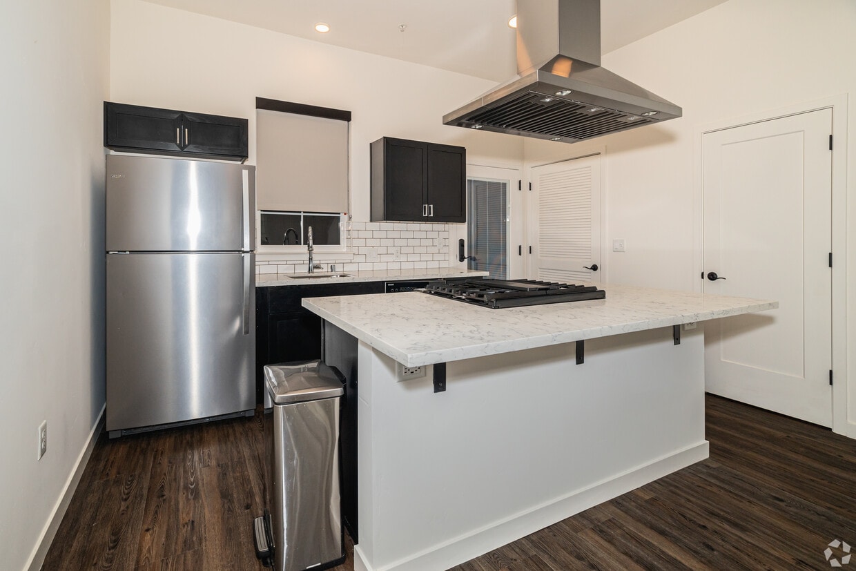
A bold blend of Spanish Revival architecture and modern elegance, The Angelino stands as a signature address along the iconic J Street. Offering one and two-bedroom floor plans—including spacious lofts and two-story townhomes—our luxury apartments in Sacramento range from 787 to 1,044 square feet and offer something more than just residences: they offer character. Step inside your home and feel the difference. High ceilings, quartz countertops, designer LED lighting, and full-size stacked washer/dryer sets give each layout a sophisticated edge, while select homes feature exposed wood beams or spiral staircases that turn your everyday into something extraordinary. As a resident of our community, you'll also enjoy gated entry, carports, a lush Spanish-style courtyard, and boutique retail just below. Live above it all—literally and figuratively—at Sacramento's newest destination for curated, urban living!
The Angelino is an apartment community located in Sacramento County and the 95819 ZIP Code. This area is served by the Sacramento City Unified School District attendance zone.
Unique Features
Controlled Access
Recycling
Gated
Public Transportation
Air Conditioning
Dishwasher
Microwave
Refrigerator
Known as the city’s political and financial hub, Downtown Sacramento is a bustling district filled with historic museums and architecture, a vibrant nightlife scene, chef-driven local restaurants, and performing arts theaters. Downtown is home to the California State Capitol Park and Museum, the Crocker Art Museum, Golden 1 Center, and the Ace of Spades. Commuting in this urban neighborhood is simple with access to abundant Amtrak and light rail stations. Downtown is surrounded by the Sacramento River and the American River, as well as Interstates 5 and 80 and 16th Street. There are many modern, upscale apartments available for rent in the heart of Sacramento.
Learn more about living in Downtown SacramentoCompare neighborhood and city base rent averages by bedroom.
| Downtown Sacramento | Sacramento, CA | |
|---|---|---|
| Studio | $1,543 | $1,501 |
| 1 Bedroom | $1,666 | $1,569 |
| 2 Bedrooms | $2,175 | $1,873 |
| 3 Bedrooms | $2,500 | $2,416 |
| Colleges & Universities | Distance | ||
|---|---|---|---|
| Colleges & Universities | Distance | ||
| Drive: | 3 min | 1.6 mi | |
| Drive: | 8 min | 4.6 mi | |
| Drive: | 17 min | 10.9 mi | |
| Drive: | 17 min | 11.3 mi |


Transportation options available in Sacramento include 48Th Street, located 0.7 mile from The Angelino. The Angelino is near Sacramento International, located 14.4 miles or 22 minutes away.
| Transit / Subway | Distance | ||
|---|---|---|---|
| Transit / Subway | Distance | ||
|
|
Walk: | 14 min | 0.7 mi |
|
|
Drive: | 3 min | 1.2 mi |
|
|
Drive: | 3 min | 1.2 mi |
|
|
Drive: | 3 min | 1.5 mi |
|
|
Drive: | 3 min | 2.1 mi |
| Commuter Rail | Distance | ||
|---|---|---|---|
| Commuter Rail | Distance | ||
| Drive: | 7 min | 3.8 mi | |
| Drive: | 22 min | 17.7 mi | |
|
|
Drive: | 26 min | 19.5 mi |
|
|
Drive: | 27 min | 21.7 mi |
|
|
Drive: | 41 min | 34.0 mi |
| Airports | Distance | ||
|---|---|---|---|
| Airports | Distance | ||
|
Sacramento International
|
Drive: | 22 min | 14.4 mi |
Scores provided by
Traffic
-Airport
-Businesses
-Scores provided by
HowLoud What is a Sound Score Rating? A Sound Score Rating aggregates noise caused by vehicle traffic, airplane traffic and local sources. How It WorksTime and distance from The Angelino.
| Shopping Centers | Distance | ||
|---|---|---|---|
| Shopping Centers | Distance | ||
| Walk: | 10 min | 0.5 mi | |
| Walk: | 10 min | 0.6 mi | |
| Walk: | 12 min | 0.6 mi |
| Parks and Recreation | Distance | ||
|---|---|---|---|
| Parks and Recreation | Distance | ||
|
Paradise Beach County Recreation Area
|
Drive: | 2 min | 1.1 mi |
|
Sutter's Fort State Historical Monument
|
Drive: | 3 min | 1.7 mi |
|
Governor's Mansion State Historic Park
|
Drive: | 5 min | 3.0 mi |
|
California State Capitol Museum
|
Drive: | 6 min | 3.1 mi |
|
Leland Stanford Mansion State Historic Park
|
Drive: | 6 min | 3.2 mi |
| Hospitals | Distance | ||
|---|---|---|---|
| Hospitals | Distance | ||
| Walk: | 10 min | 0.5 mi | |
| Drive: | 5 min | 1.8 mi | |
| Drive: | 5 min | 1.9 mi |
| Military Bases | Distance | ||
|---|---|---|---|
| Military Bases | Distance | ||
| Drive: | 24 min | 11.9 mi | |
| Drive: | 57 min | 43.6 mi | |
| Drive: | 72 min | 51.1 mi |
What Are Walk Score®, Transit Score®, and Bike Score® Ratings?
Walk Score® measures the walkability of any address. Transit Score® measures access to public transit. Bike Score® measures the bikeability of any address.
What is a Sound Score Rating?
A Sound Score Rating aggregates noise caused by vehicle traffic, airplane traffic and local sources.
945 48th St
Sacramento, CA 95819


