
Haven at Del Mar Station Apartments
265-275 S Arroyo Pky,
Pasadena, CA 91105
Studio - 2 Beds $2,445 - $4,900
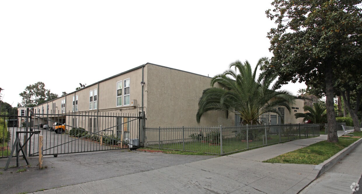
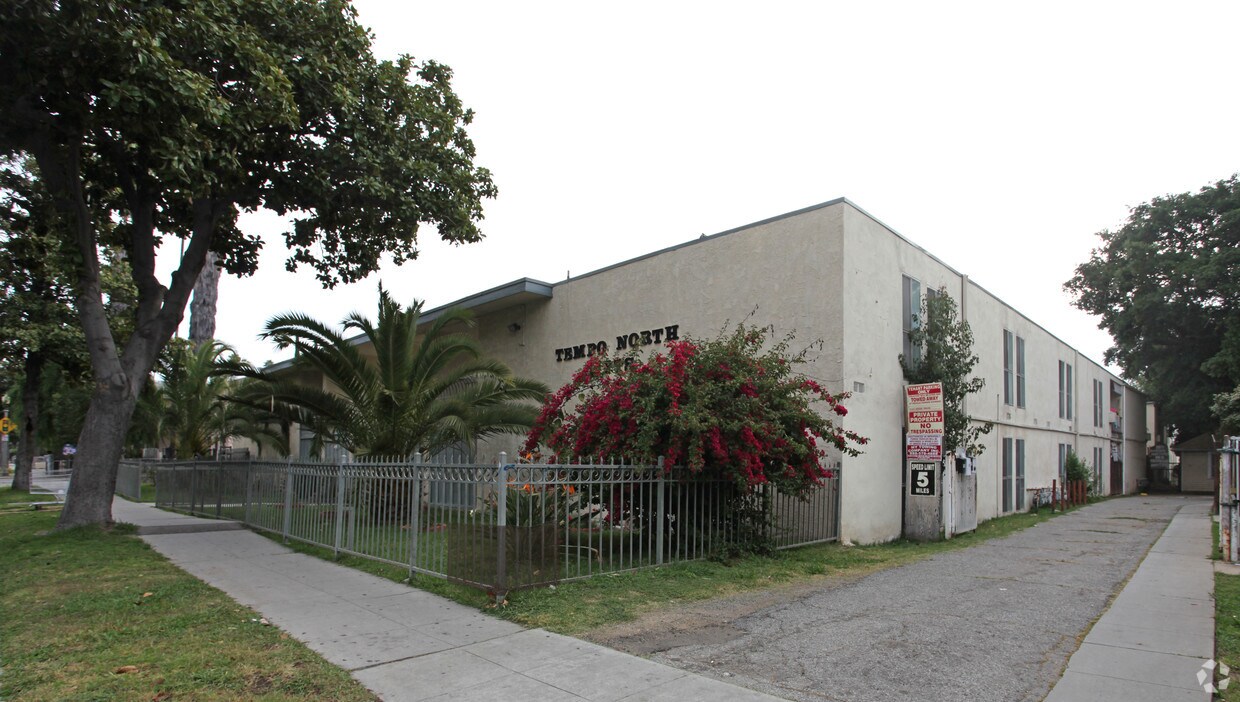

Tempo North Apartments in Pasadena is ready for your visit. The 91104 location is an ideal place to live. Be sure to come for a visit to see the available floorplan options. The leasing staff is ready to help you in finding your perfect floorplan option. Drop by Tempo North Apartments today.
Tempo North Apartments is an apartment community located in Los Angeles County and the 91104 ZIP Code. This area is served by the Pasadena Unified attendance zone.
High Speed Internet Access
Smoke Free
Heating
Kitchen
Pasadena’s Olive Heights neighborhood provides a subdued suburban refuge from the often-manic energy of the region. Lake Avenue’s dining and shopping options are within easy walking distance of anywhere in the community, and Madison Elementary School’s location on the east side makes it easy for local schoolchildren to walk to class quickly and safely.
Downtown Pasadena is only a few blocks to the south, and the Cal Tech campus is less than ten minutes away by car. With easy access to the 210 freeway, all of Southern California is at your fingertips.
Learn more about living in Olive Heights| Colleges & Universities | Distance | ||
|---|---|---|---|
| Colleges & Universities | Distance | ||
| Walk: | 17 min | 0.9 mi | |
| Drive: | 5 min | 2.2 mi | |
| Drive: | 7 min | 2.4 mi | |
| Drive: | 7 min | 3.3 mi |


Transportation options available in Pasadena include Memorial Park Station, located 1.6 miles from Tempo North Apartments. Tempo North Apartments is near Bob Hope, located 17.6 miles or 24 minutes away, and Los Angeles International, located 26.3 miles or 42 minutes away.
| Transit / Subway | Distance | ||
|---|---|---|---|
| Transit / Subway | Distance | ||
|
|
Drive: | 4 min | 1.6 mi |
|
|
Drive: | 3 min | 2.0 mi |
|
|
Drive: | 5 min | 2.0 mi |
|
|
Drive: | 4 min | 2.0 mi |
|
|
Drive: | 6 min | 2.8 mi |
| Commuter Rail | Distance | ||
|---|---|---|---|
| Commuter Rail | Distance | ||
|
|
Drive: | 14 min | 10.1 mi |
|
|
Drive: | 20 min | 11.0 mi |
|
|
Drive: | 19 min | 11.3 mi |
|
|
Drive: | 21 min | 11.3 mi |
| Drive: | 23 min | 15.4 mi |
| Airports | Distance | ||
|---|---|---|---|
| Airports | Distance | ||
|
Bob Hope
|
Drive: | 24 min | 17.6 mi |
|
Los Angeles International
|
Drive: | 42 min | 26.3 mi |
Time and distance from Tempo North Apartments.
| Shopping Centers | Distance | ||
|---|---|---|---|
| Shopping Centers | Distance | ||
| Walk: | 8 min | 0.5 mi | |
| Walk: | 17 min | 0.9 mi | |
| Drive: | 3 min | 1.2 mi |
| Parks and Recreation | Distance | ||
|---|---|---|---|
| Parks and Recreation | Distance | ||
|
Kidspace Children's Museum
|
Drive: | 6 min | 2.6 mi |
|
Jet Propulsion Laboratory
|
Drive: | 7 min | 3.4 mi |
|
Huntington Botanical Gardens
|
Drive: | 9 min | 3.5 mi |
|
Eaton Canyon Nature Center
|
Drive: | 8 min | 3.6 mi |
|
Los Angeles County Arboretum
|
Drive: | 10 min | 6.2 mi |
| Hospitals | Distance | ||
|---|---|---|---|
| Hospitals | Distance | ||
| Drive: | 5 min | 2.6 mi | |
| Drive: | 7 min | 3.9 mi | |
| Drive: | 14 min | 5.8 mi |
| Military Bases | Distance | ||
|---|---|---|---|
| Military Bases | Distance | ||
| Drive: | 39 min | 27.9 mi | |
| Drive: | 48 min | 31.2 mi |
What Are Walk Score®, Transit Score®, and Bike Score® Ratings?
Walk Score® measures the walkability of any address. Transit Score® measures access to public transit. Bike Score® measures the bikeability of any address.
What is a Sound Score Rating?
A Sound Score Rating aggregates noise caused by vehicle traffic, airplane traffic and local sources


 - Violet on Virgil")


 - AVA Burbank")

