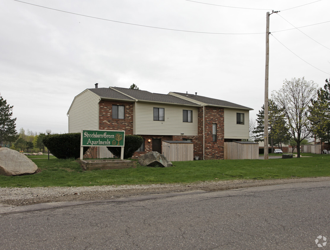
Streetsboro Green

1462 Russell Dr, Streetsboro, OH 44241

Share Listing
Favorites
Streetsboro Green
Share Listing
Favorites
Location
1462 Russell Dr, Streetsboro,
OH 44241
Get Directions
City - Streetsboro

Streetsboro is a peaceful suburb with a small-town vibe situated between larger cities like Cleveland, Akron, and Youngstown. Known as the “Gateway to Progress,” Streetsboro is accessible to multiple major interstates, airports, and railways, allowing residents quick commutes and travels via the Ohio Turnpike, I-480, Portage County Regional Airport, and more.

Streetsboro is also convenient to diverse shopping opportunities, with plenty of local shops, flea markets, and antique stores in town and the expansive Aurora Farms Premium Outlets just a short drive away. Outdoor recreation abounds near Streetsboro as well, with easy access to nearby Woodside Lake Park, Tinkers Creek State Park, and the vast Cuyahoga Valley National Park.

Learn more about living in Streetsboro 
Education
Colleges & Universities Distance
Drive: 23 min 10.1 mi
Drive: 29 min 19.9 mi
Drive: 28 min 20.6 mi
Drive: 34 min 20.7 mi
Streetsboro Green is within 23 minutes or 10.1 miles from Kent State University. It is also near University of Akron and Cuyahoga C.C., East.
Schools
Grades K-5
285 Students
Nearby
Public Elementary School
Grades PK-5
611 Students
Nearby
Public Elementary School
Grades PK-5
352 Students
Nearby
Public Middle School
Grades 6-8
459 Students
Nearby
Public High School
Grades 9-12
547 Students
Attendance Zone
Private Elementary, Middle & High School
Grades PK-12
Nearby
Transportation

Streetsboro Green is near Akron-Canton Regional, located 32.7 miles or 47 minutes away, and Cleveland-Hopkins International, located 36.8 miles or 49 minutes away.

Commuter Rail Distance
Drive: 21 min 11.4 mi
Boston Mill
Drive: 23 min 13.9 mi
Drive: 30 min 15.3 mi
Drive: 33 min 18.3 mi
Drive: 35 min 18.8 mi
Airports Distance
Airports Distance
Akron-Canton Regional
Drive: 47 min 32.7 mi
Cleveland-Hopkins International
Drive: 49 min 36.8 mi

Walkability Near Streetsboro Green

Getting Around
Fairly Walkable
Walkability
50 / 100
Minimal Public Transit
Transit
0 / 100
Exceptionally Drivable
Drivability
100 / 100
Fairly Bikeable
Bikeability
40 / 100

Scores provided by

What do Walkability, Transit, Drivability, and Bikeability mean? Walkability measures the walking distance to day-to-day needs. Transit measures access to public transportation. Drivability measures congestion, parking availability, and access to major roads. Bikeability measures the suitability for cycling. How It Works
Active
Soundscore
78 / 100

Traffic

Active

Airport

Calm

Businesses

Active

Scores provided by

HowLoud What is a Sound Score Rating? A Sound Score Rating aggregates noise caused by vehicle traffic, airplane traffic and local sources.
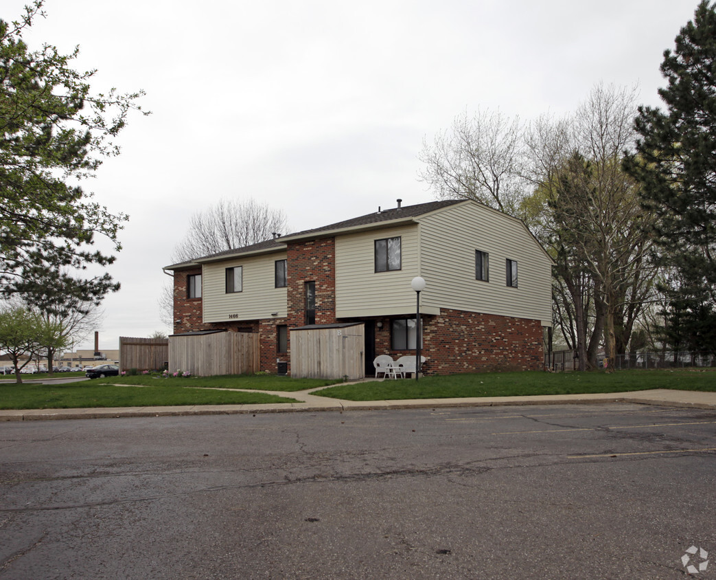
 How It Works
Points of Interest

Time and distance from Streetsboro Green.

Shopping Centers Distance
Walk: 10 min 0.5 mi
Walk: 14 min 0.8 mi
Walk: 16 min 0.8 mi
Streetsboro Green has 3 shopping centers within 0.8 mile, which is about a 16-minute walk. The miles and minutes will be for the farthest away property.
Parks and Recreation Distance
Tinkers Creek State Park
Drive: 10 min 5.2 mi
Wood Hollow
Drive: 13 min 6.4 mi
Liberty Park and Nature Center
Drive: 13 min 8.0 mi
Beartown Lakes Reservation
Drive: 26 min 12.2 mi
Munroe Falls Metro Park
Drive: 31 min 13.1 mi
Streetsboro Green has 5 parks within 13.1 miles, including Tinkers Creek State Park, Wood Hollow, and Liberty Park and Nature Center.
Hospitals Distance
Hospitals Distance
Drive: 12 min 7.3 mi
Streetsboro Green is 7.3 miles and a 12 minute drive from University Hospitals Portage Medical Center.
Military Bases Distance
Drive: 101 min 83.9 mi
Streetsboro Green is 83.9 miles and a 101 minute drive from Mansfield Lahm Airport Air Guard Station.

Explore Similar Rentals Nearby