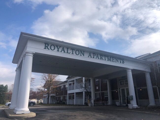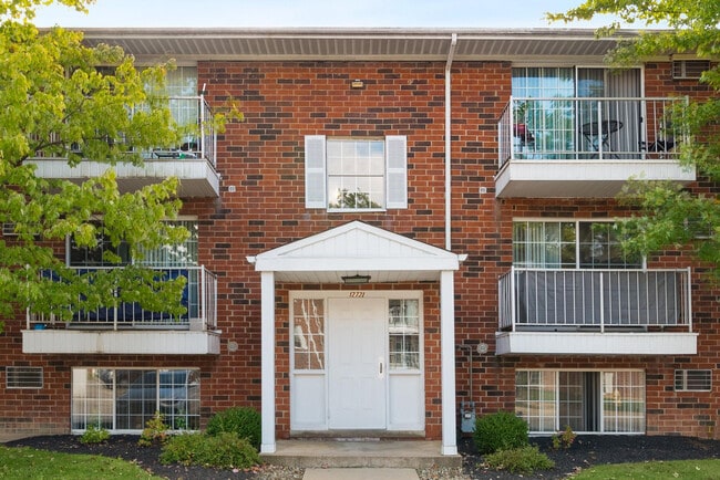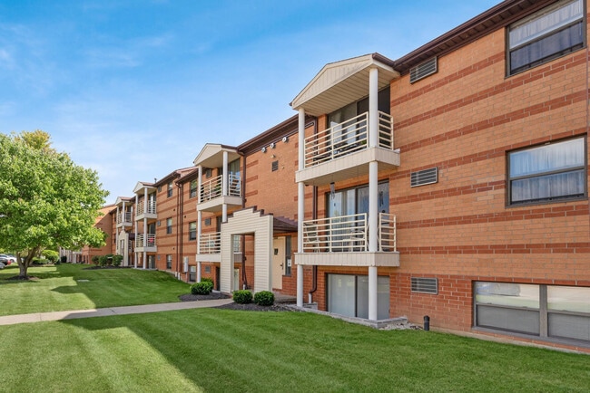
Polo Club
14400 Howe Rd,
Strongsville, OH 44136
$1,370 - $1,705
1-2 Beds
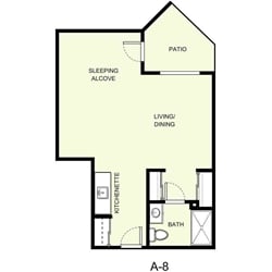

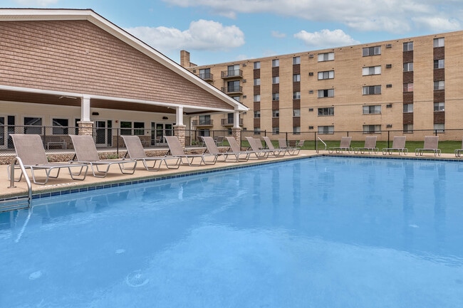
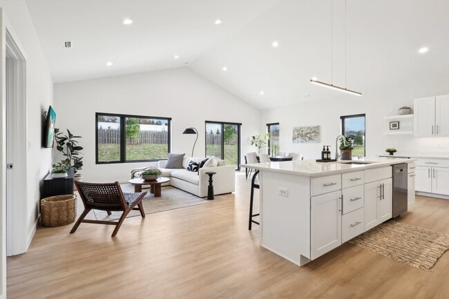
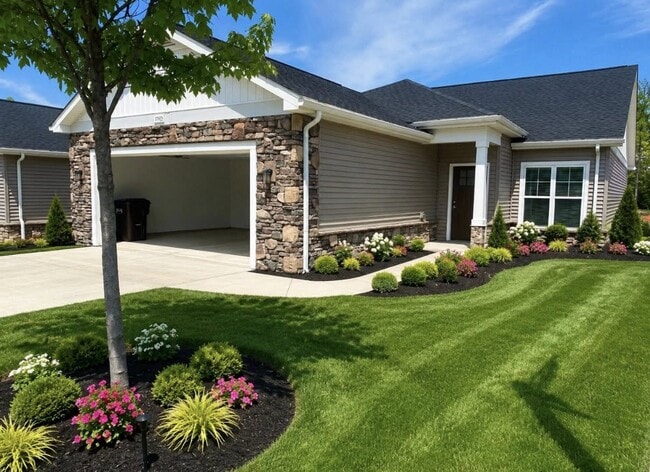
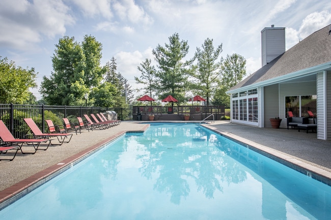
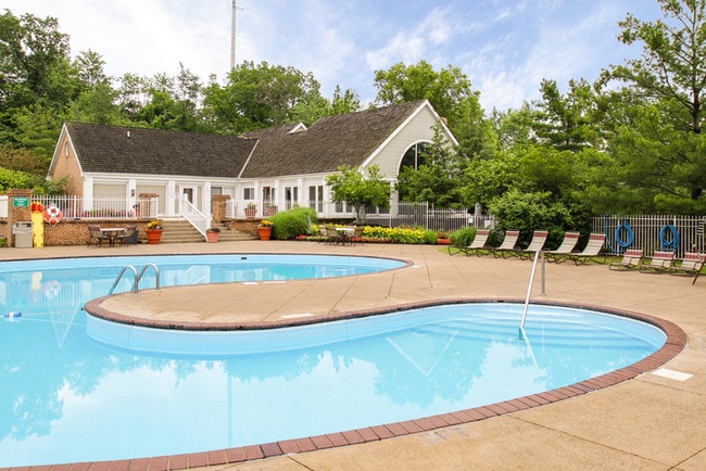
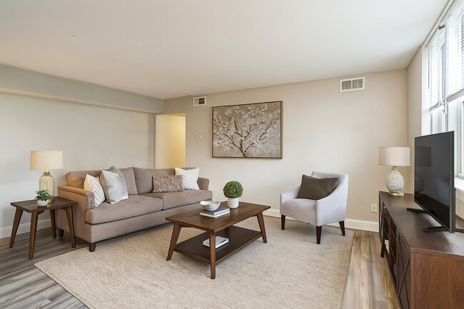
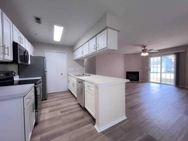
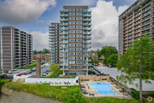
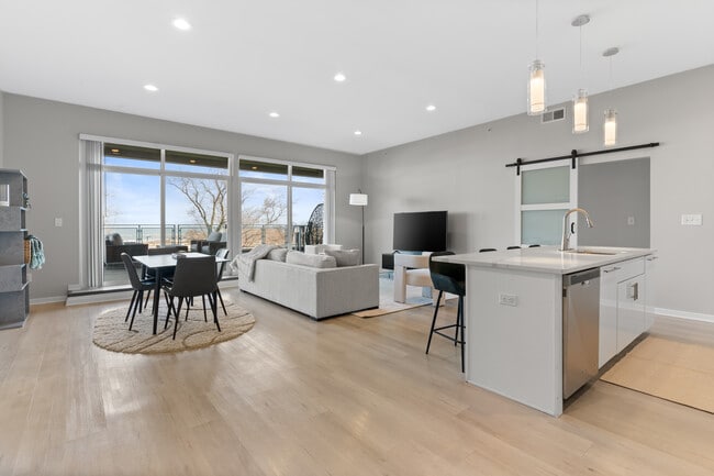
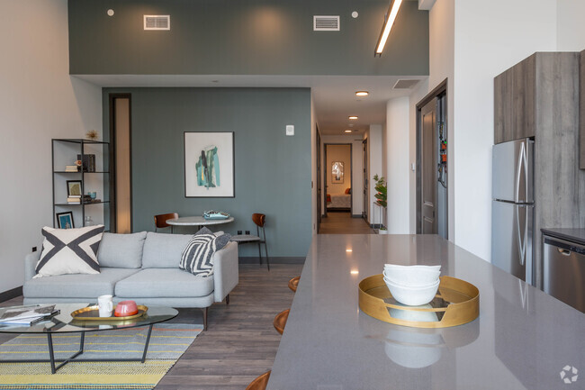
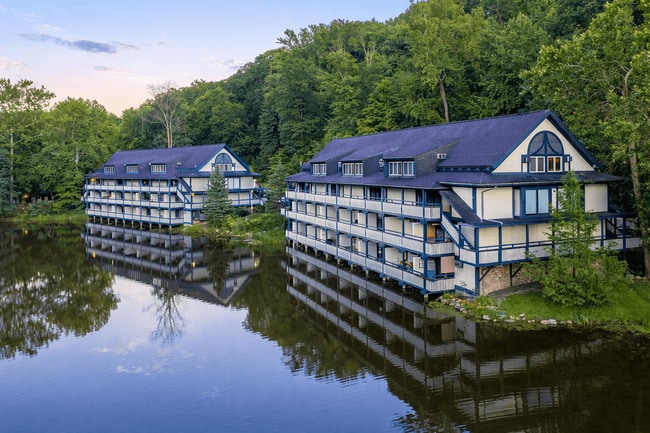
Find your new home at Pearl Crossing. This community is located at 19205 Pearl Rd. in Strongsville. Compare studio to 2 bedroom floor plans, then give us a call for price and availability. Our apartment community offers top amenities and features. These include: a state-of-the-art fitness center, walking and biking trails, and convenient on-site parking options. Start living the good life at Pearl Crossing. Contact us or stop by the leasing office to discuss your new apartment.
StoryPoint Strongsville is an apartment community located in Cuyahoga County and the 44136 ZIP Code. This area is served by the Brunswick City School District attendance zone.
Fitness Center
Laundry Facilities
Clubhouse
Community-Wide WiFi
Air Conditioning
Heating
Carpet
Cable Ready
Strongsville earns its nickname, Crossroads of the Nation, from the spot where Interstate 71 meets the Ohio Turnpike, making this Cuyahoga County suburb one of the better-connected communities in northeast Ohio. Sitting about 20 miles southwest of Cleveland, the city covers roughly 25 square miles and carries a settled, self-sufficient character that draws people looking for both breathing room and easy access to a major metro. The Cleveland Clinic's presence here anchors a strong employment base, while SouthPark Mall and the retail corridors along Pearl and Royalton Roads keep most everyday needs close to home.
The housing mix leans residential, with established single-family neighborhoods making up much of the landscape. Renters will find apartment communities and townhome-style rentals scattered throughout the city, offering options that range from garden-style units to more spacious multi-bedroom layouts.
Learn more about living in Strongsville| Colleges & Universities | Distance | ||
|---|---|---|---|
| Colleges & Universities | Distance | ||
| Drive: | 9 min | 4.6 mi | |
| Drive: | 17 min | 9.7 mi | |
| Drive: | 23 min | 11.4 mi | |
| Drive: | 31 min | 18.9 mi |


 The GreatSchools Rating helps parents compare schools within a state based on a variety of school quality indicators and provides a helpful picture of how effectively each school serves all of its students. Ratings are on a scale of 1 (below average) to 10 (above average) and can include test scores, college readiness, academic progress, advanced courses, equity, discipline and attendance data. We also advise parents to visit schools, consider other information on school performance and programs, and consider family needs as part of the school selection process.
Transportation options available in Strongsville include Brookpark Station, located 12.1 miles from StoryPoint Strongsville. StoryPoint Strongsville is near Cleveland-Hopkins International, located 14.1 miles or 26 minutes away, and Akron-Canton Regional, located 42.8 miles or 59 minutes away.
| Transit / Subway | Distance | ||
|---|---|---|---|
| Transit / Subway | Distance | ||
| Drive: | 20 min | 12.1 mi | |
| Drive: | 21 min | 12.3 mi |
| Commuter Rail | Distance | ||
|---|---|---|---|
| Commuter Rail | Distance | ||
| Drive: | 31 min | 14.8 mi | |
| Drive: | 34 min | 17.0 mi | |
|
Boston Mill
|
Drive: | 35 min | 19.2 mi |
| Drive: | 35 min | 19.3 mi | |
| Drive: | 36 min | 20.8 mi |
| Airports | Distance | ||
|---|---|---|---|
| Airports | Distance | ||
|
Cleveland-Hopkins International
|
Drive: | 26 min | 14.1 mi |
|
Akron-Canton Regional
|
Drive: | 59 min | 42.8 mi |
Scores provided by
 What do Walkability, Transit, Drivability, and Bikeability mean?
Walkability measures the walking distance to day-to-day needs.
Transit measures access to public transportation.
Drivability measures congestion, parking availability, and access to major roads.
Bikeability measures the suitability for cycling.
How It Works
What do Walkability, Transit, Drivability, and Bikeability mean?
Walkability measures the walking distance to day-to-day needs.
Transit measures access to public transportation.
Drivability measures congestion, parking availability, and access to major roads.
Bikeability measures the suitability for cycling.
How It Works
Traffic
-Airport
-Businesses
-Scores provided by
HowLoud What is a Sound Score Rating? A Sound Score Rating aggregates noise caused by vehicle traffic, airplane traffic and local sources. How It WorksTime and distance from StoryPoint Strongsville.
| Shopping Centers | Distance | ||
|---|---|---|---|
| Shopping Centers | Distance | ||
| Walk: | 12 min | 0.6 mi | |
| Walk: | 16 min | 0.8 mi | |
| Drive: | 2 min | 1.1 mi |
| Parks and Recreation | Distance | ||
|---|---|---|---|
| Parks and Recreation | Distance | ||
|
Gardenview Horticultural Park
|
Drive: | 2 min | 1.2 mi |
|
Princess Ledges Nature Preserve
|
Drive: | 2 min | 1.3 mi |
|
Susan Hambley Nature Center
|
Drive: | 8 min | 4.5 mi |
|
Mill Stream Run Reservation
|
Drive: | 10 min | 4.8 mi |
|
Columbia Reservation
|
Drive: | 14 min | 7.0 mi |
| Hospitals | Distance | ||
|---|---|---|---|
| Hospitals | Distance | ||
| Drive: | 15 min | 8.9 mi | |
| Drive: | 23 min | 11.6 mi | |
| Drive: | 19 min | 11.7 mi |
| Military Bases | Distance | ||
|---|---|---|---|
| Military Bases | Distance | ||
| Drive: | 78 min | 63.9 mi | |
| Drive: | 99 min | 78.1 mi |
What Are Walk Score®, Transit Score®, and Bike Score® Ratings?
Walk Score® measures the walkability of any address. Transit Score® measures access to public transit. Bike Score® measures the bikeability of any address.
What is a Sound Score Rating?
A Sound Score Rating aggregates noise caused by vehicle traffic, airplane traffic and local sources.
19205 Pearl Rd
Strongsville, OH 44136