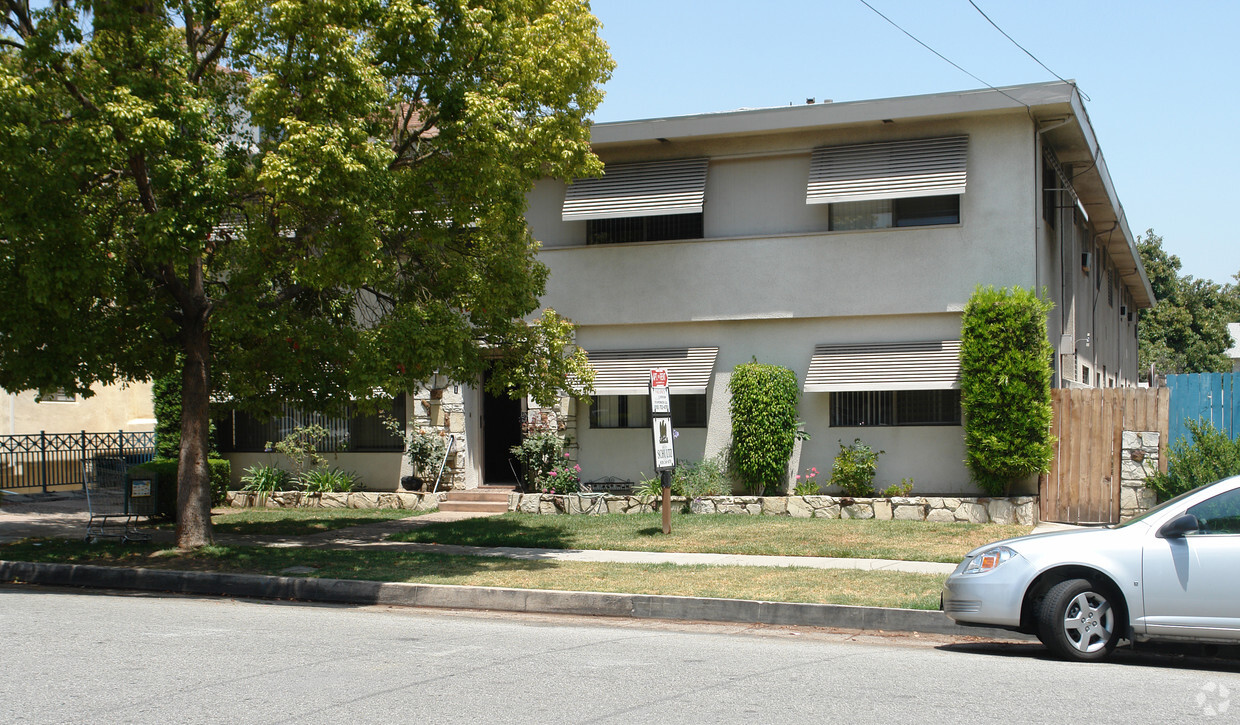
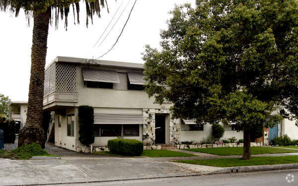
Trio Apartments
621 E Colorado Blvd,
Pasadena, CA 91101
Studio - 2 Beds $2,537 - $4,440


Discover Stonehurst in Pasadena, CA. This community is located at 140 S Catalina Ave in the South Lake area of Pasadena. Here at Stonehurst, you'll have a wide selection of features and amenities like hardwood floors, convenient on-site parking options, and smoke-free options. From amenities to floor plan options, the leasing team is available to help you find the best floor plan for your lifestyle. Start living the good life at Stonehurst. Contact us or stop in to learn more about our community.
Stonehurst Apts is an apartment community located in Los Angeles County and the 91106 ZIP Code. This area is served by the Pasadena Unified attendance zone.
Air Conditioning
High Speed Internet Access
Hardwood Floors
Smoke Free
Located about two miles from Old Pasadena and Downtown Pasadena, South Lake is a trendy commercial hub and residential area. Along with an array of amenities, South Lake is home to the California Institute of Technology, with Pasadena City College nearby as well. This amenity-laden neighborhood is packed with restaurants and shops. Along South Lake Avenue, you’ll find department stores, popular retailers, grocers, and eclectic restaurants serving everything from vegan eats to bubble tea. The historic Route 66 makes up South Lake’s northern border and provides even more shopping and dining options. South Lake has mid-range to upscale houses, apartments, townhomes, and condos available for rent.
Learn more about living in South Lake| Colleges & Universities | Distance | ||
|---|---|---|---|
| Colleges & Universities | Distance | ||
| Walk: | 12 min | 0.6 mi | |
| Walk: | 12 min | 0.7 mi | |
| Walk: | 18 min | 1.0 mi | |
| Drive: | 6 min | 2.3 mi |
 The GreatSchools Rating helps parents compare schools within a state based on a variety of school quality indicators and provides a helpful picture of how effectively each school serves all of its students. Ratings are on a scale of 1 (below average) to 10 (above average) and can include test scores, college readiness, academic progress, advanced courses, equity, discipline and attendance data. We also advise parents to visit schools, consider other information on school performance and programs, and consider family needs as part of the school selection process.
Transportation options available in Pasadena include Memorial Park Station, located 1.4 miles from Stonehurst Apts. Stonehurst Apts is near Bob Hope, located 17.5 miles or 25 minutes away, and Los Angeles International, located 25.6 miles or 41 minutes away.
| Transit / Subway | Distance | ||
|---|---|---|---|
| Transit / Subway | Distance | ||
|
|
Drive: | 3 min | 1.4 mi |
|
|
Drive: | 3 min | 1.4 mi |
|
|
Drive: | 4 min | 1.6 mi |
|
|
Drive: | 4 min | 1.8 mi |
|
|
Drive: | 4 min | 2.3 mi |
| Commuter Rail | Distance | ||
|---|---|---|---|
| Commuter Rail | Distance | ||
|
|
Drive: | 14 min | 10.0 mi |
|
|
Drive: | 19 min | 10.4 mi |
|
|
Drive: | 18 min | 10.5 mi |
|
|
Drive: | 20 min | 10.5 mi |
| Drive: | 22 min | 14.6 mi |
| Airports | Distance | ||
|---|---|---|---|
| Airports | Distance | ||
|
Bob Hope
|
Drive: | 25 min | 17.5 mi |
|
Los Angeles International
|
Drive: | 41 min | 25.6 mi |
Time and distance from Stonehurst Apts.
| Shopping Centers | Distance | ||
|---|---|---|---|
| Shopping Centers | Distance | ||
| Walk: | 4 min | 0.2 mi | |
| Walk: | 8 min | 0.4 mi | |
| Walk: | 10 min | 0.5 mi |
| Parks and Recreation | Distance | ||
|---|---|---|---|
| Parks and Recreation | Distance | ||
|
Huntington Botanical Gardens
|
Drive: | 6 min | 1.9 mi |
|
Kidspace Children's Museum
|
Drive: | 7 min | 3.2 mi |
|
Eaton Canyon Nature Center
|
Drive: | 9 min | 4.2 mi |
|
Jet Propulsion Laboratory
|
Drive: | 8 min | 5.0 mi |
|
Los Angeles County Arboretum
|
Drive: | 9 min | 5.7 mi |
| Hospitals | Distance | ||
|---|---|---|---|
| Hospitals | Distance | ||
| Drive: | 4 min | 1.8 mi | |
| Drive: | 5 min | 2.6 mi | |
| Drive: | 10 min | 4.1 mi |
| Military Bases | Distance | ||
|---|---|---|---|
| Military Bases | Distance | ||
| Drive: | 38 min | 27.1 mi | |
| Drive: | 47 min | 30.6 mi |
What Are Walk Score®, Transit Score®, and Bike Score® Ratings?
Walk Score® measures the walkability of any address. Transit Score® measures access to public transit. Bike Score® measures the bikeability of any address.
What is a Sound Score Rating?
A Sound Score Rating aggregates noise caused by vehicle traffic, airplane traffic and local sources