
Northland Park Apartments
2100 Freeport Rd,
Sterling, IL 61081
$625 - $900
Studio - 2 Beds
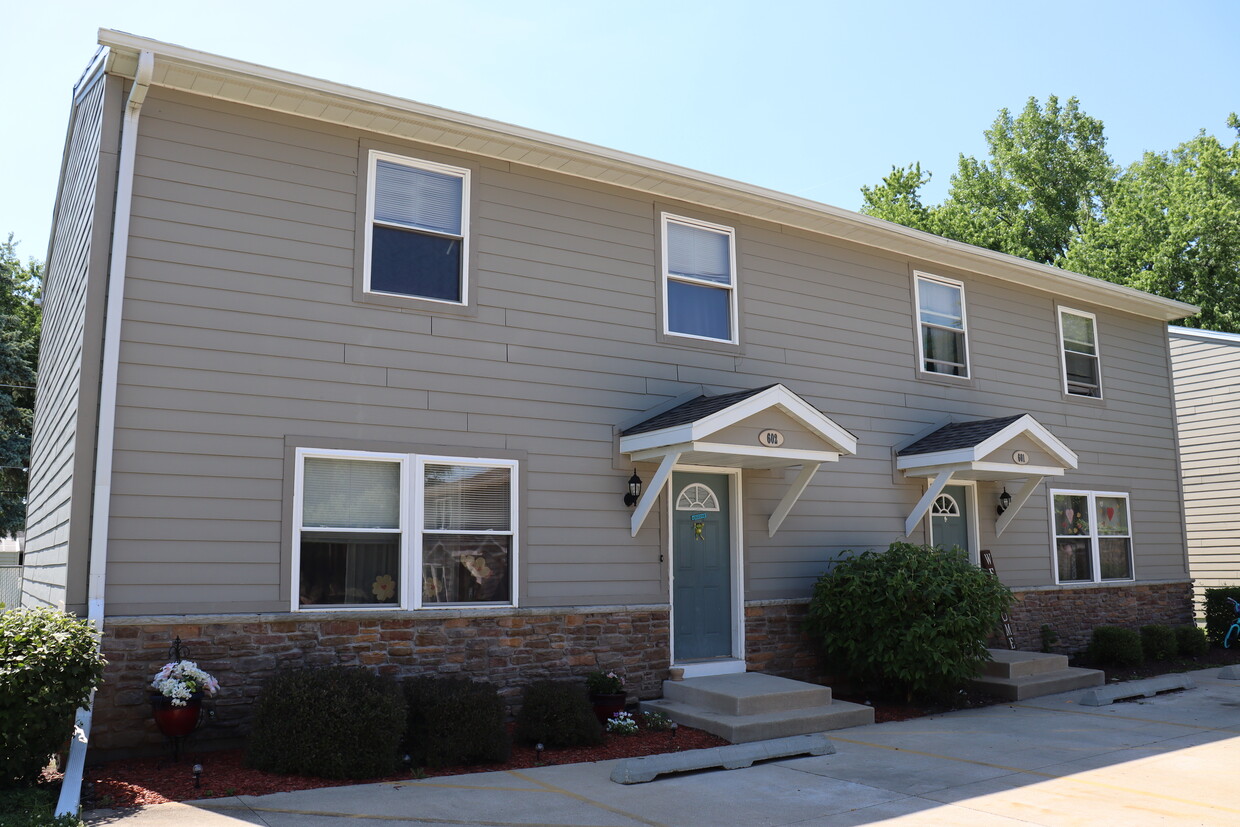
Sterling Townhomes is an affordable housing community conveniently located in Sterling, IL.
Sterling Townhomes is an apartment community located in Whiteside County and the 61081 ZIP Code. This area is served by the Sterling Community Unit School District 5 attendance zone.
Washer/Dryer
Air Conditioning
Granite Countertops
Refrigerator
On the north bank of the Rock River in northwest Illinois sits Sterling, a colorful suburb with a laidback, family-friendly atmosphere. Beautiful homes and apartment rentals overlook the river in south Sterling, with more residential developments stretching north towards Lynn Boulevard. Lincoln Highway is where you’ll find incredible dining and shopping options just steps from the water. Sterling also has a great number of community parks for residents to enjoy, including Central Park, Dale Park, Flock Park, and Sinnissippi Park.
Sterling remains relatively secluded amongst the small towns that line the riverbanks. Moline sits 56 miles west, and Rockford nearly the same distance northeast. Neither are out of reach if you’re in search of a fun weekend or day trip.
Learn more about living in Sterling

Scores provided by
Traffic
-Airport
-Businesses
-Scores provided by
HowLoud What is a Sound Score Rating? A Sound Score Rating aggregates noise caused by vehicle traffic, airplane traffic and local sources. How It WorksWhat Are Walk Score®, Transit Score®, and Bike Score® Ratings?
Walk Score® measures the walkability of any address. Transit Score® measures access to public transit. Bike Score® measures the bikeability of any address.
What is a Sound Score Rating?
A Sound Score Rating aggregates noise caused by vehicle traffic, airplane traffic and local sources.

2105 Freeport Rd
Sterling, IL 61081


