
Del Oro on Broadway
986 Broadway,
Chula Vista, CA 91911
2 Beds $3,095 - $3,245


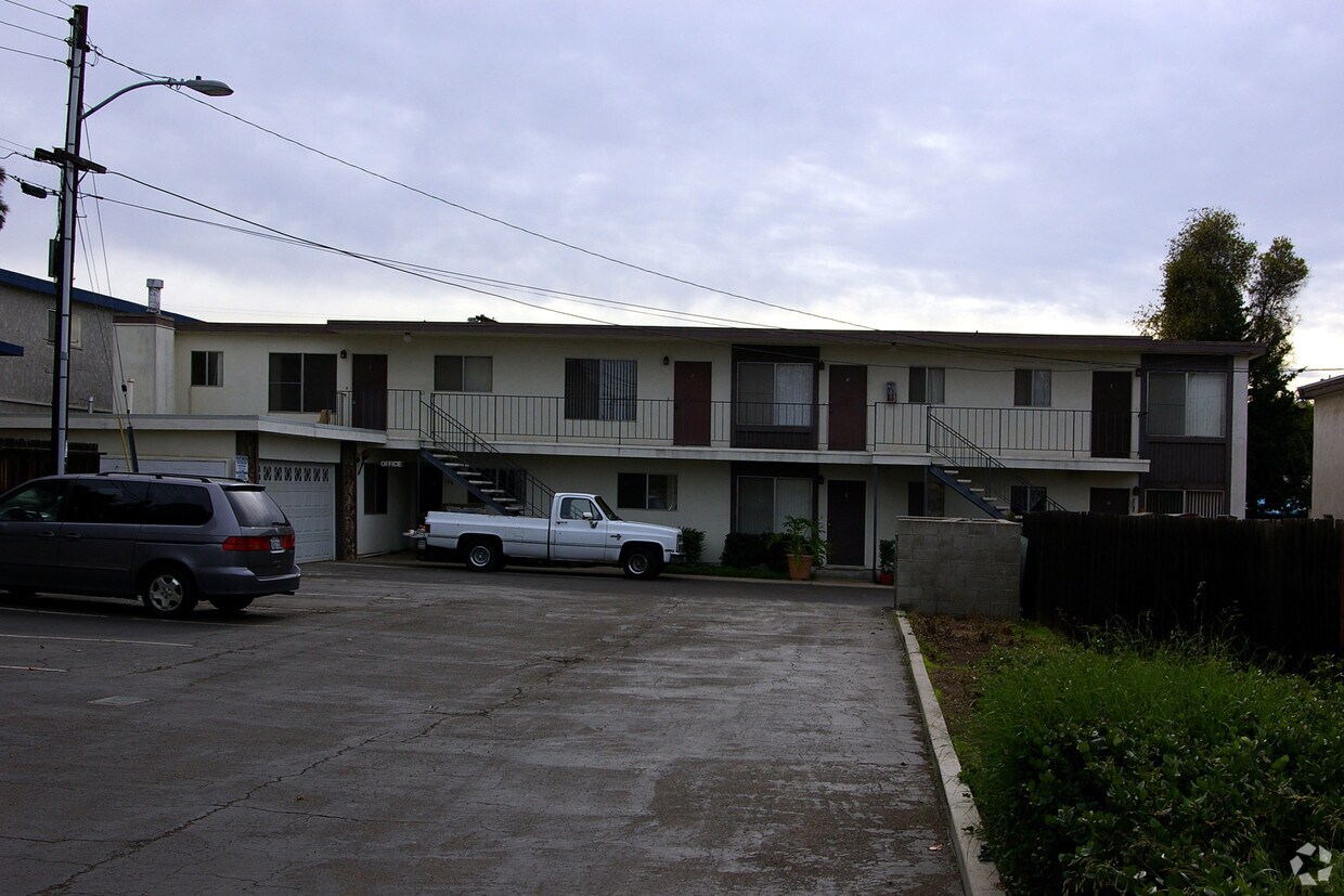
Experience Chula Vista living at Shady Lane. The 380 K St location in the Downtown Chula Vista neighborhood of Chula Vista has much to offer its residents. Let the knowledgeable leasing staff show you everything this community has in store. Come see Shady Lane today.
Shady Lane is an apartment community located in San Diego County and the 91911 ZIP Code. This area is served by the Sweetwater Union High attendance zone.
Situated about nine miles south of San Diego, Downtown Chula Vista is the core of the city. Residents enjoy convenient shopping at Chula Vista Center, and a wide range of diverse eateries located throughout the area.
While the neighborhood is at the center of the city, options for outdoor recreation are aplenty. San Diego Bay National Wildlife Refuge, Bayside Park, Rohr Park, and Silver Strand Beach are all within close proximity to Downtown Chula Vista. Quick access to I-5 and I-805 connects Downtown Chula Vista to the Greater San Diego Area and beyond.
Learn more about living in Downtown Chula Vista| Colleges & Universities | Distance | ||
|---|---|---|---|
| Colleges & Universities | Distance | ||
| Drive: | 13 min | 6.2 mi | |
| Drive: | 12 min | 9.4 mi | |
| Drive: | 14 min | 9.8 mi | |
| Drive: | 14 min | 10.6 mi |


Transportation options available in Chula Vista include H Street, located 1.8 miles from Shady Lane. Shady Lane is near San Diego International, located 13.1 miles or 18 minutes away.
| Transit / Subway | Distance | ||
|---|---|---|---|
| Transit / Subway | Distance | ||
|
|
Drive: | 4 min | 1.8 mi |
|
|
Drive: | 5 min | 2.2 mi |
|
|
Drive: | 4 min | 2.4 mi |
|
|
Drive: | 7 min | 3.9 mi |
|
|
Drive: | 7 min | 4.2 mi |
| Commuter Rail | Distance | ||
|---|---|---|---|
| Commuter Rail | Distance | ||
|
|
Drive: | 16 min | 10.5 mi |
|
|
Drive: | 18 min | 13.7 mi |
|
|
Drive: | 31 min | 25.3 mi |
|
|
Drive: | 40 min | 32.4 mi |
|
|
Drive: | 44 min | 36.1 mi |
| Airports | Distance | ||
|---|---|---|---|
| Airports | Distance | ||
|
San Diego International
|
Drive: | 18 min | 13.1 mi |
Time and distance from Shady Lane.
| Shopping Centers | Distance | ||
|---|---|---|---|
| Shopping Centers | Distance | ||
| Walk: | 10 min | 0.5 mi | |
| Walk: | 14 min | 0.8 mi | |
| Drive: | 2 min | 1.2 mi |
| Parks and Recreation | Distance | ||
|---|---|---|---|
| Parks and Recreation | Distance | ||
|
Living Coast Discovery Center
|
Drive: | 5 min | 2.6 mi |
|
Otay Valley Regional Park
|
Drive: | 6 min | 3.1 mi |
|
San Diego Bay National Wildlife Refuge
|
Drive: | 8 min | 3.3 mi |
|
Tijuana River National Estuarine Research Reserve
|
Drive: | 12 min | 6.2 mi |
|
Silver Strand State Beach
|
Drive: | 18 min | 9.0 mi |
| Hospitals | Distance | ||
|---|---|---|---|
| Hospitals | Distance | ||
| Drive: | 8 min | 4.0 mi | |
| Drive: | 10 min | 5.4 mi | |
| Drive: | 13 min | 10.0 mi |
| Military Bases | Distance | ||
|---|---|---|---|
| Military Bases | Distance | ||
| Drive: | 8 min | 5.1 mi | |
| Drive: | 19 min | 13.6 mi |
What Are Walk Score®, Transit Score®, and Bike Score® Ratings?
Walk Score® measures the walkability of any address. Transit Score® measures access to public transit. Bike Score® measures the bikeability of any address.
What is a Sound Score Rating?
A Sound Score Rating aggregates noise caused by vehicle traffic, airplane traffic and local sources
380 K St
Chula Vista, CA 91911


