
$5,800
/ Month
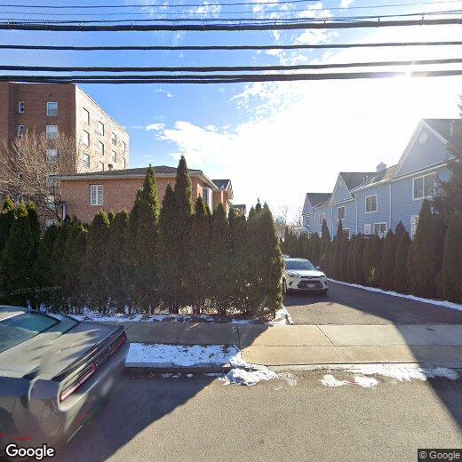
740 Pelham Rd
New Rochelle, NY 10805
2 Weeks Ago
|
Edit
Favorites
Pelham Road

Favorites
Check Back Soon for Upcoming Availability
| Beds | Baths | Average SF |
|---|---|---|
| 4 Bedrooms 4 Bedrooms 4 Br | 4 Baths 4 Baths 4 Ba | — |
About This Property
Description coming soon, please contact your Highline Residential agent for more information===Ref:1671537===
Pelham Road is an apartment community located in Westchester County and the 10805 ZIP Code.
740 Pelham Rd,
New Rochelle,
NY
10805
New Rochelle, situated along Long Island Sound, combines historic charm with modern living just 17 miles from Midtown Manhattan. With convenient Metro-North and Amtrak connections, this waterfront community founded in 1688 by Huguenot settlers offers apartments across its diverse neighborhoods, from shoreline areas to residential streets lined with mature trees.
Apartment residents enjoy 230 acres of public parkland, including the scenic Glen Island Park beach. The downtown area features New Roc City entertainment complex, local shops, and dining options. The Metro-North station provides a 35-minute commute to Grand Central Terminal, while drivers can access I-95 and the Hutchinson River Parkway. Educational institutions in the area include Iona University and Monroe College. As of 2023, rental prices start around $2,175 for studios and $2,584 for one-bedroom apartments.
Learn more about living in New Rochelle
Education
| Colleges & Universities | Distance | ||
|---|---|---|---|
| Colleges & Universities | Distance | ||
| Drive: | 3 min | 1.2 mi | |
| Drive: | 5 min | 2.2 mi | |
| Drive: | 7 min | 3.2 mi | |
| Drive: | 10 min | 4.9 mi |
Pelham Road is within 3 minutes or 1.2 miles from The College of New Rochelle. It is also near Monroe College, New Rochelle and Iona College.
Transportation options available in New Rochelle include Eastchester-Dyre Ave, located 3.0 miles from Pelham Road. Pelham Road is near LaGuardia, located 13.5 miles or 25 minutes away, and Westchester County, located 18.0 miles or 29 minutes away.
| Transit / Subway | Distance | ||
|---|---|---|---|
| Transit / Subway | Distance | ||
|
|
Drive: | 7 min | 3.0 mi |
|
|
Drive: | 7 min | 3.6 mi |
|
|
Drive: | 8 min | 3.9 mi |
|
|
Drive: | 10 min | 4.6 mi |
|
|
Drive: | 10 min | 5.1 mi |
| Commuter Rail | Distance | ||
|---|---|---|---|
| Commuter Rail | Distance | ||
|
|
Drive: | 5 min | 2.2 mi |
|
|
Drive: | 7 min | 2.5 mi |
|
|
Drive: | 9 min | 3.9 mi |
|
|
Drive: | 9 min | 4.3 mi |
|
|
Drive: | 13 min | 6.7 mi |
| Airports | Distance | ||
|---|---|---|---|
| Airports | Distance | ||
|
LaGuardia
|
Drive: | 25 min | 13.5 mi |
|
Westchester County
|
Drive: | 29 min | 18.0 mi |
Walkability Near Pelham Road
Getting Around
 What do Walkability, Transit, Drivability, and Bikeability mean?
Walkability measures the walking distance to day-to-day needs.
Transit measures access to public transportation.
Drivability measures congestion, parking availability, and access to major roads.
Bikeability measures the suitability for cycling.
How It Works
What do Walkability, Transit, Drivability, and Bikeability mean?
Walkability measures the walking distance to day-to-day needs.
Transit measures access to public transportation.
Drivability measures congestion, parking availability, and access to major roads.
Bikeability measures the suitability for cycling.
How It Works
Not Walkable
Walkability
0
/ 100
Minimal Public Transit
Transit
0
/ 100
Exceptionally Drivable
Drivability
90
/ 100
Somewhat Bikeable
Bikeability
20
/ 100
Scores provided by
-
Soundscore™
-
/ 100
Traffic
-Airport
-Businesses
-Scores provided by
HowLoud What is a Sound Score Rating? A Sound Score Rating aggregates noise caused by vehicle traffic, airplane traffic and local sources. How It WorksTime and distance from Pelham Road.
| Shopping Centers | Distance | ||
|---|---|---|---|
| Shopping Centers | Distance | ||
| Walk: | 15 min | 0.8 mi | |
| Walk: | 18 min | 1.0 mi | |
| Drive: | 4 min | 1.6 mi |
Pelham Road has 3 shopping centers within 1.6 miles, which is about a 4-minute drive. The miles and minutes will be for the farthest away property.
| Parks and Recreation | Distance | ||
|---|---|---|---|
| Parks and Recreation | Distance | ||
|
Bartow-Pell Woods
|
Drive: | 4 min | 1.8 mi |
|
Davenport Neck Bird Sanctuary
|
Drive: | 4 min | 1.9 mi |
|
Pelham Bay Park
|
Drive: | 4 min | 2.3 mi |
|
Seton Falls Park
|
Drive: | 8 min | 3.5 mi |
|
Sheldrake Environmental Center
|
Drive: | 11 min | 5.9 mi |
Pelham Road has 5 parks within 5.9 miles, including Bartow-Pell Woods, Davenport Neck Bird Sanctuary, and Pelham Bay Park.
| Hospitals | Distance | ||
|---|---|---|---|
| Hospitals | Distance | ||
| Drive: | 6 min | 2.5 mi | |
| Drive: | 10 min | 4.4 mi | |
| Drive: | 10 min | 5.3 mi |
Pelham Road has 3 hospitals within 5.3 miles, the nearest is Montefiore New Rochelle Hospital which is 2.5 miles away and a 6 minute drive.
| Military Bases | Distance | ||
|---|---|---|---|
| Military Bases | Distance | ||
| Drive: | 21 min | 11.5 mi |
Pelham Road is 11.5 miles and a 21 minute drive from Fort Totten US Govt Reservation.
You May Also Like
Similar Rentals Nearby


What Are Walk Score®, Transit Score®, and Bike Score® Ratings?
Walk Score® measures the walkability of any address. Transit Score® measures access to public transit. Bike Score® measures the bikeability of any address.
What is a Sound Score Rating?
A Sound Score Rating aggregates noise caused by vehicle traffic, airplane traffic and local sources.
740 Pelham Rd
New Rochelle, NY 10805