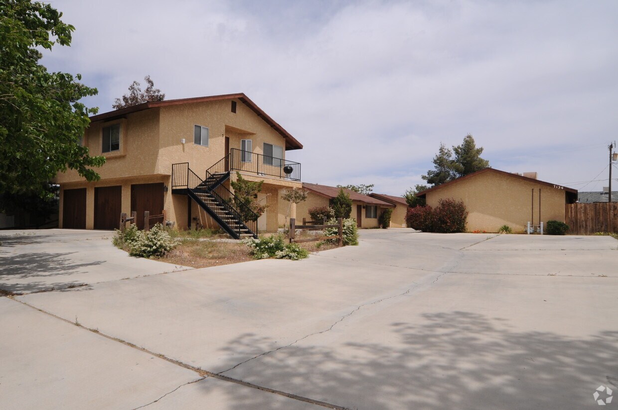
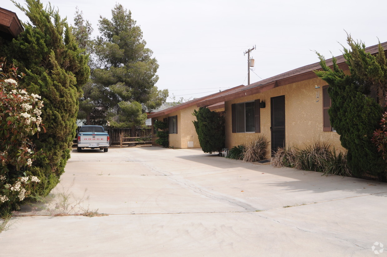
Fairway Apartments
55100-55220 Airlane Dr,
Yucca Valley, CA 92284
$1,235 - $1,750
1-2 Beds


Quiet/Private and Good Location
Quiet/Private and Good Location
Palo Alto is an apartment community located in San Bernardino County and the 92284 ZIP Code. This area is served by the Morongo Unified attendance zone.
Washer/Dryer
Air Conditioning
Dishwasher
Disposal
Located in the Mojave Desert of southern California, Yucca Valley is known as the gateway to Joshua Tree National Park. Consequently, Yucca Valley is an outdoor enthusiast’s paradise—from the excellent trails and rock climbing in and around Joshua Tree National Park to skiing and snowboarding in nearby Big Bear. Yucca Valley is also convenient to off-roading opportunities in the Johnson Valley and watersports on the Colorado River.
Golfing options range from Yucca Valley’s own Hawk’s Landing Golf Club to the many resort communities in Palm Springs. Locals and visitors alike enjoy antiquing in Old Town Yucca Valley, exploring the exhibits and programs at the Hi-Desert Nature Museum, and touring the Old Western movie set Pioneertown.
Yucca Valley also offers plenty of artistic amenities such as theatrical performances, art shows, studio tours, and cultural events.
Learn more about living in Yucca Valley| Colleges & Universities | Distance | ||
|---|---|---|---|
| Colleges & Universities | Distance | ||
| Drive: | 52 min | 40.5 mi | |
| Drive: | 57 min | 42.6 mi | |
| Drive: | 60 min | 48.2 mi |
 The GreatSchools Rating helps parents compare schools within a state based on a variety of school quality indicators and provides a helpful picture of how effectively each school serves all of its students. Ratings are on a scale of 1 (below average) to 10 (above average) and can include test scores, college readiness, academic progress, advanced courses, equity, discipline and attendance data. We also advise parents to visit schools, consider other information on school performance and programs, and consider family needs as part of the school selection process.
What Are Walk Score®, Transit Score®, and Bike Score® Ratings?
Walk Score® measures the walkability of any address. Transit Score® measures access to public transit. Bike Score® measures the bikeability of any address.
What is a Sound Score Rating?
A Sound Score Rating aggregates noise caused by vehicle traffic, airplane traffic and local sources