
Holly Street Village
151-151 E Holly St,
Pasadena, CA 91103
$2,560 - $10,000
Studio - 3 Beds

Pasadena’s Olive Heights neighborhood provides a subdued suburban refuge from the often-manic energy of the region. Lake Avenue’s dining and shopping options are within easy walking distance of anywhere in the community, and Madison Elementary School’s location on the east side makes it easy for local schoolchildren to walk to class quickly and safely.
Downtown Pasadena is only a few blocks to the south, and the Cal Tech campus is less than ten minutes away by car. With easy access to the 210 freeway, all of Southern California is at your fingertips.
Learn more about living in Olive Heights| Colleges & Universities | Distance | ||
|---|---|---|---|
| Colleges & Universities | Distance | ||
| Walk: | 20 min | 1.1 mi | |
| Drive: | 5 min | 2.2 mi | |
| Drive: | 7 min | 2.5 mi | |
| Drive: | 7 min | 3.4 mi |


Transportation options available in Pasadena include Memorial Park Station, located 1.7 miles from Northwest Manor II. Northwest Manor II is near Bob Hope, located 17.7 miles or 25 minutes away, and Los Angeles International, located 26.5 miles or 42 minutes away.
| Transit / Subway | Distance | ||
|---|---|---|---|
| Transit / Subway | Distance | ||
|
|
Drive: | 4 min | 1.7 mi |
|
|
Drive: | 4 min | 2.0 mi |
|
|
Drive: | 5 min | 2.1 mi |
|
|
Drive: | 4 min | 2.2 mi |
|
|
Drive: | 6 min | 2.9 mi |
| Commuter Rail | Distance | ||
|---|---|---|---|
| Commuter Rail | Distance | ||
|
|
Drive: | 14 min | 10.2 mi |
|
|
Drive: | 20 min | 11.0 mi |
|
|
Drive: | 20 min | 11.4 mi |
|
|
Drive: | 21 min | 11.5 mi |
| Drive: | 23 min | 15.5 mi |
| Airports | Distance | ||
|---|---|---|---|
| Airports | Distance | ||
|
Bob Hope
|
Drive: | 25 min | 17.7 mi |
|
Los Angeles International
|
Drive: | 42 min | 26.5 mi |
Time and distance from Northwest Manor II.
| Shopping Centers | Distance | ||
|---|---|---|---|
| Shopping Centers | Distance | ||
| Walk: | 11 min | 0.6 mi | |
| Walk: | 13 min | 0.7 mi | |
| Drive: | 2 min | 1.2 mi |
| Parks and Recreation | Distance | ||
|---|---|---|---|
| Parks and Recreation | Distance | ||
|
Kidspace Children's Museum
|
Drive: | 6 min | 2.2 mi |
|
Jet Propulsion Laboratory
|
Drive: | 6 min | 3.3 mi |
|
Eaton Canyon Nature Center
|
Drive: | 8 min | 3.4 mi |
|
Huntington Botanical Gardens
|
Drive: | 9 min | 3.6 mi |
|
Los Angeles County Arboretum
|
Drive: | 10 min | 6.3 mi |
| Hospitals | Distance | ||
|---|---|---|---|
| Hospitals | Distance | ||
| Drive: | 5 min | 2.7 mi | |
| Drive: | 7 min | 4.0 mi | |
| Drive: | 14 min | 5.8 mi |
| Military Bases | Distance | ||
|---|---|---|---|
| Military Bases | Distance | ||
| Drive: | 39 min | 28.1 mi | |
| Drive: | 49 min | 31.3 mi |
What Are Walk Score®, Transit Score®, and Bike Score® Ratings?
Walk Score® measures the walkability of any address. Transit Score® measures access to public transit. Bike Score® measures the bikeability of any address.
What is a Sound Score Rating?
A Sound Score Rating aggregates noise caused by vehicle traffic, airplane traffic and local sources

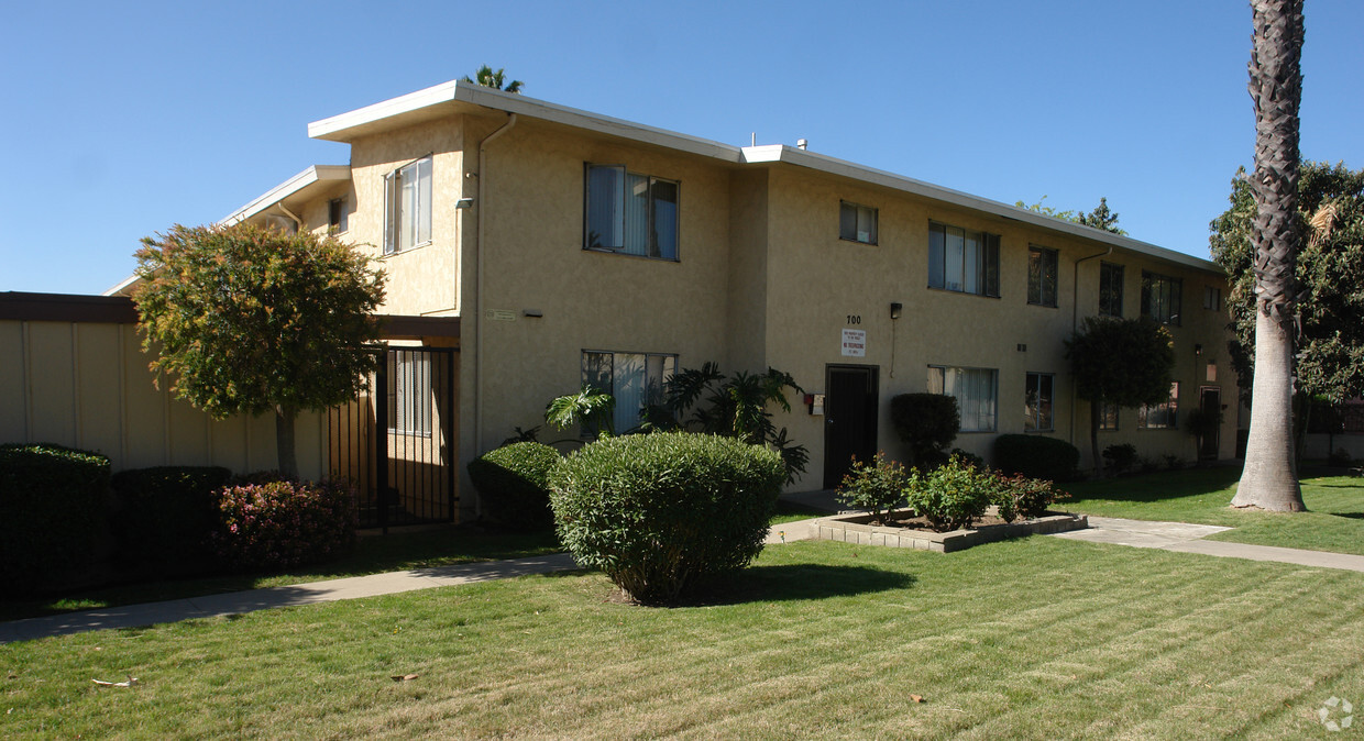
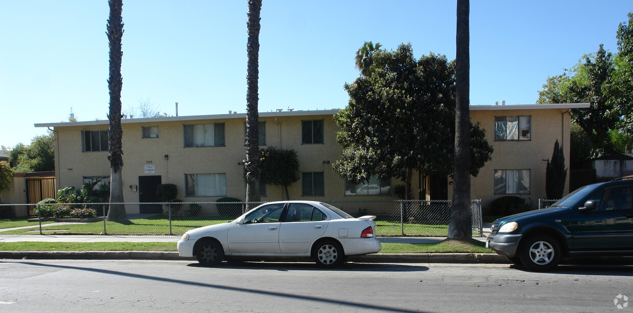
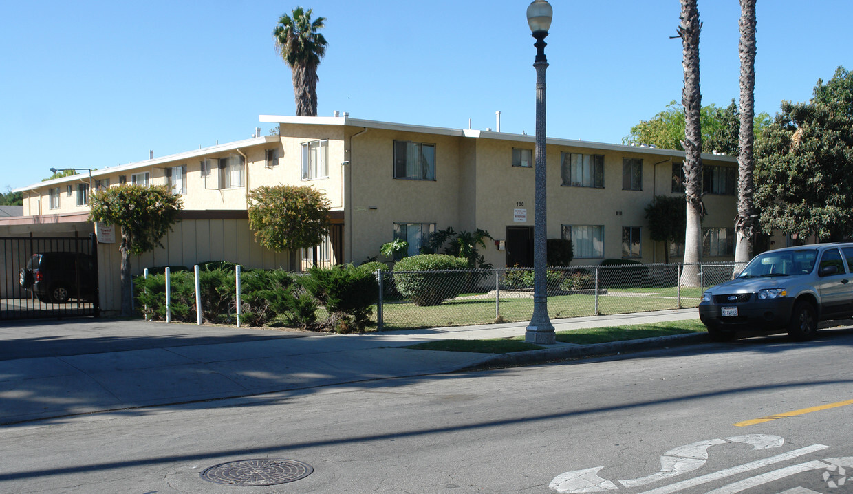
700 E Mountain St
Pasadena, CA 91104


 - Violet on Virgil")

 - AVA Burbank")


