
The Pointe @ JSU
331 Nisbet St NW,
Jacksonville, AL 36265
$534 - $719
2-4 Beds
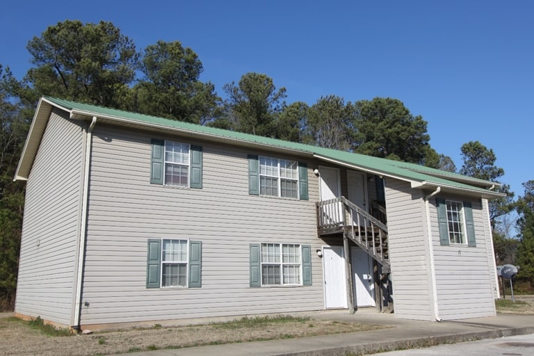
Narrows Nest in Jacksonville is ready for you to visit. The 36265 location is an ideal place to move. Be sure to come for a visit to check out the apartment floorplan options. The team of leasing professionals is ready to help you in finding the perfect apartment. Drop by Narrows Nest today.
Narrows Nest is an apartment community located in Calhoun County and the 36265 ZIP Code. This area is served by the Jacksonville City School District attendance zone.
Roughly halfway between Birmingham and Atlanta, Jacksonville is a small, rural town best known as the home of Jacksonville State University. The university serves around 8,500 students and operates as one of the biggest employers in the region. The local rental market caters largely to the college crowd, with a vast selection of affordable apartments, condos, and houses perfect for students, faculty, and staff members.
The town is also quite close to Fort McClellan, and many military personnel stationed there choose to seek off-base housing in Jacksonville. With the sprawling Talladega National Forest just minutes east of town, living in Jacksonville allows you to explore the vast networks of creeks and trails anytime the urge strikes.
Learn more about living in Jacksonville| Colleges & Universities | Distance | ||
|---|---|---|---|
| Colleges & Universities | Distance | ||
| Drive: | 2 min | 1.2 mi | |
| Drive: | 35 min | 21.5 mi | |
| Drive: | 61 min | 39.0 mi |


Scores provided by
Traffic
CalmAirport
CalmBusinesses
CalmScores provided by
HowLoud What is a Sound Score Rating? A Sound Score Rating aggregates noise caused by vehicle traffic, airplane traffic and local sources. How It WorksWhat Are Walk Score®, Transit Score®, and Bike Score® Ratings?
Walk Score® measures the walkability of any address. Transit Score® measures access to public transit. Bike Score® measures the bikeability of any address.
What is a Sound Score Rating?
A Sound Score Rating aggregates noise caused by vehicle traffic, airplane traffic and local sources.

625 Gadsden Rd NW
Jacksonville, AL 36265


