
The Edge on the Boulevard
34500 Fremont Blvd,
Fremont, CA 94555
$2,025 - $2,725
Studio - 2 Beds
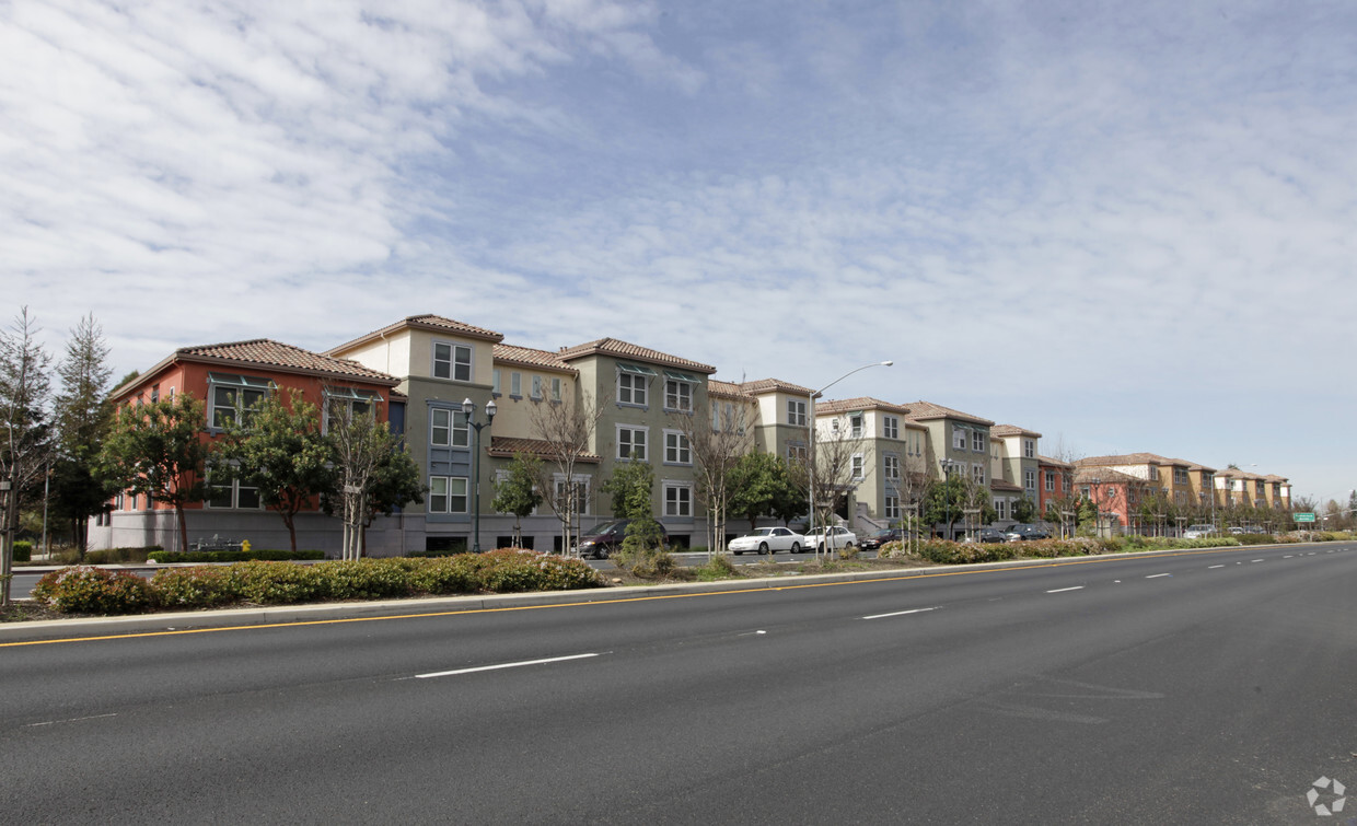
Mission Gateway in Union City, CA is ready to be your home. Situated in the 94587 area of Union City on 33105-33325 Mission Blvd, local residents have easy access to great entertainment options found in the surrounding area. Come for a visit to check out the current floorplan options. You'll experience a top selection of amenities and features at this community. At Mission Gateway you're home. Stop by the community today.
Mission Gateway is an apartment community located in Alameda County and the 94587 ZIP Code. This area is served by the New Haven Unified School District attendance zone.
Fitness Center
Playground
Controlled Access
Business Center
Air Conditioning
High Speed Internet Access
Refrigerator
Tub/Shower
| Colleges & Universities | Distance | ||
|---|---|---|---|
| Colleges & Universities | Distance | ||
| Drive: | 11 min | 4.8 mi | |
| Drive: | 14 min | 7.7 mi | |
| Drive: | 14 min | 8.0 mi | |
| Drive: | 16 min | 8.7 mi |


Transportation options available in Union City include Union City, located 1.5 miles from Mission Gateway. Mission Gateway is near Metro Oakland International, located 16.4 miles or 24 minutes away, and Norman Y Mineta San Jose International, located 22.8 miles or 32 minutes away.
| Transit / Subway | Distance | ||
|---|---|---|---|
| Transit / Subway | Distance | ||
|
|
Drive: | 4 min | 1.5 mi |
|
|
Drive: | 7 min | 3.0 mi |
|
|
Drive: | 11 min | 5.5 mi |
|
|
Drive: | 14 min | 5.9 mi |
|
|
Drive: | 18 min | 9.2 mi |
| Commuter Rail | Distance | ||
|---|---|---|---|
| Commuter Rail | Distance | ||
| Drive: | 10 min | 4.6 mi | |
| Drive: | 10 min | 4.8 mi | |
| Drive: | 14 min | 8.3 mi | |
|
|
Drive: | 14 min | 8.3 mi |
| Drive: | 27 min | 16.7 mi |
| Airports | Distance | ||
|---|---|---|---|
| Airports | Distance | ||
|
Metro Oakland International
|
Drive: | 24 min | 16.4 mi |
|
Norman Y Mineta San Jose International
|
Drive: | 32 min | 22.8 mi |
Time and distance from Mission Gateway.
| Shopping Centers | Distance | ||
|---|---|---|---|
| Shopping Centers | Distance | ||
| Drive: | 3 min | 1.2 mi | |
| Drive: | 4 min | 1.7 mi | |
| Drive: | 4 min | 1.9 mi |
| Parks and Recreation | Distance | ||
|---|---|---|---|
| Parks and Recreation | Distance | ||
|
Garin/Dry Creek Pioneer Parks
|
Walk: | 30 min | 1.6 mi |
|
Niles Canyon Railway
|
Drive: | 5 min | 3.2 mi |
|
Niles Community Park
|
Drive: | 7 min | 3.4 mi |
|
Quarry Lakes Regional Recreation Area
|
Drive: | 7 min | 3.4 mi |
|
Alameda Creek Regional Trail
|
Drive: | 8 min | 3.7 mi |
| Hospitals | Distance | ||
|---|---|---|---|
| Hospitals | Distance | ||
| Drive: | 10 min | 4.9 mi | |
| Drive: | 10 min | 5.4 mi | |
| Drive: | 11 min | 6.2 mi |
| Military Bases | Distance | ||
|---|---|---|---|
| Military Bases | Distance | ||
| Drive: | 34 min | 21.3 mi |
Pets Allowed Fitness Center In Unit Washer & Dryer Walk-In Closets Stainless Steel Appliances Hardwood Floors EV Charging
What Are Walk Score®, Transit Score®, and Bike Score® Ratings?
Walk Score® measures the walkability of any address. Transit Score® measures access to public transit. Bike Score® measures the bikeability of any address.
What is a Sound Score Rating?
A Sound Score Rating aggregates noise caused by vehicle traffic, airplane traffic and local sources.

33105-33325 Mission Blvd
Union City, CA 94587


