Malleable Heights

335 Quinby St, Sharon, PA 16146

2 Weeks Ago
Share Listing
Favorites
Malleable Heights
Share Listing
Favorites

About Malleable Heights

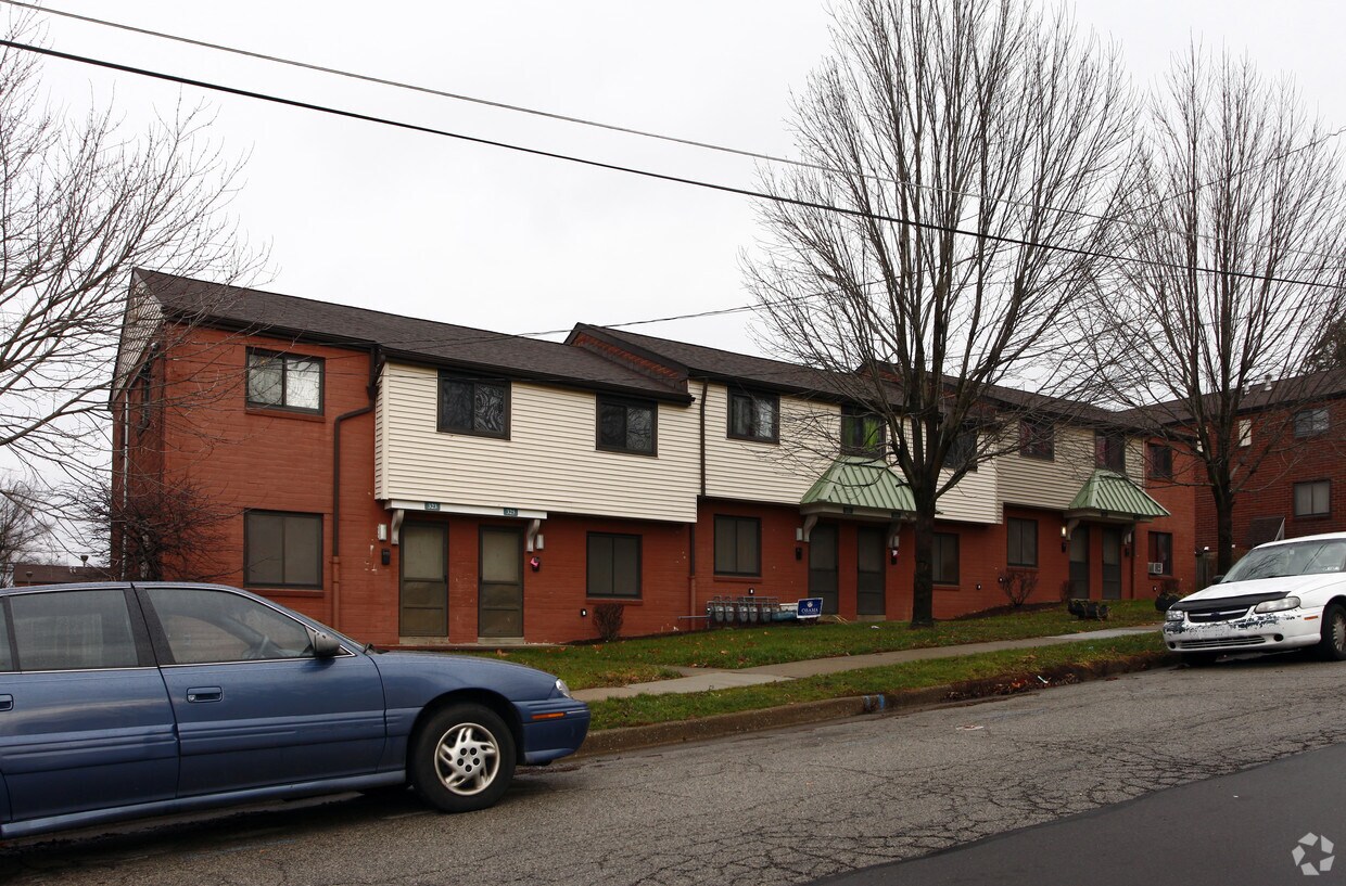
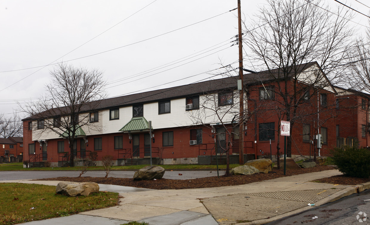
Malleable Heights is ready to be your home. With a location on Quinby St. in Sharon's 16146 Zip code, renters can easily connect with a number of points of interest in the surrounding area. Come for a visit to check out the apartment floorplan options. The team of leasing professionals is ready to help you in finding the perfect new apartment. It's time to find your next place. Contact or stop by the Malleable Heights leasing office to check the current floorplan availability.

Malleable Heights is an apartment community located in Mercer County and the 16146 ZIP Code. This area is served by the Sharon City School District attendance zone.

Location
335 Quinby St, Sharon,
PA 16146
Get Directions
Education
Colleges & Universities Distance
Drive: 22 min 13.4 mi
Drive: 28 min 21.2 mi
Drive: 40 min 29.6 mi
Drive: 48 min 33.5 mi
Malleable Heights is within 22 minutes or 13.4 miles from Youngstown State University. It is also near Kent State Univ., Trumbull and Grove City College.
Schools
Public Elementary School
Grades K-5
309 Students
Nearby
Grades PK-5
378 Students
Nearby
Public High School
Grades 9-12
523 Students
Attendance Zone
Private Elementary School
Grades K-5
24 Students
Nearby
Private Elementary & Middle School
Grades PK-8
181 Students
Nearby
Private Elementary, Middle & High School
Grades K-12
Nearby
Transportation

Walkability Near Malleable Heights

Getting Around
Fairly Walkable
Walkability
40 / 100
Exceptionally Drivable
Drivability
90 / 100
Somewhat Bikeable
Bikeability
30 / 100

Scores provided by

What do Walkability, Transit, Drivability, and Bikeability mean? Walkability measures the walking distance to day-to-day needs. Transit measures access to public transportation. Drivability measures congestion, parking availability, and access to major roads. Bikeability measures the suitability for cycling. How It Works
-
Soundscore
- / 100

Traffic

-

Airport

-

Businesses

-

Scores provided by

HowLoud What is a Sound Score Rating? A Sound Score Rating aggregates noise caused by vehicle traffic, airplane traffic and local sources. How It Works
Points of Interest

Time and distance from Malleable Heights.

Shopping Centers Distance
Drive: 3 min 1.3 mi
Drive: 3 min 1.3 mi
Drive: 4 min 1.5 mi
Malleable Heights has 3 shopping centers within 1.5 miles, which is about a 4-minute drive. The miles and minutes will be for the farthest away property.
Parks and Recreation Distance
McGuffey Wildlife Preserve
Drive: 17 min 10.1 mi
Malleable Heights has a nearby park, McGuffey Wildlife Preserve , located 10.1 miles or 17 minutes away.
Hospitals Distance
Hospitals Distance
Drive: 3 min 1.3 mi
Drive: 19 min 10.8 mi
Drive: 17 min 11.8 mi
Malleable Heights has 3 hospitals within 11.8 miles, the nearest is Sharon Regional Health System which is 1.3 miles away and a 3 minute drive.
Military Bases Distance
Drive: 15 min 10.3 mi
Drive: 74 min 60.0 mi
Drive: 78 min 62.7 mi
Malleable Heights has 3 military bases within 62.7 miles, the nearest is Youngstown Airport AFRS which is 10.3 miles away and a 15 minute drive.

Explore Similar Rentals Nearby