Median Age
42 Years
Largest Age Group
30-39 Years
Approximately 17% of Residents
Under 20
19%
Over 65
22%

A connected Cincinnati suburb with deep roots and tree-lined streets, Silverton offers affordable, community-rooted living about 10 miles northeast of downtown Cincinnati. Daily life here revolves around Montgomery Road, the village's main commercial corridor, where local eateries and small shops sit within easy reach. Nearby areas like Kennedy Heights, Pleasant Ridge, and Deer Park extend the options for dining and errands, and the regional draw of Kenwood Towne Center is roughly a mile away.
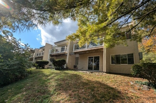
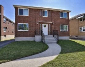
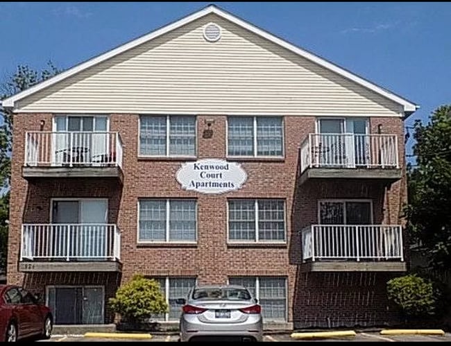
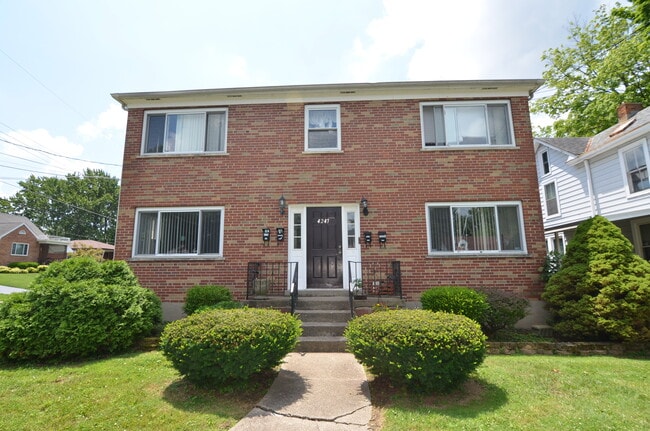
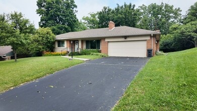
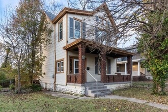
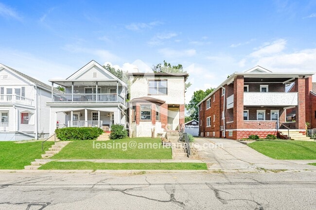
The rental market reflects the village's modest footprint of about two square miles. Housing stock leans toward mid-century single-family homes, many featuring the characteristic steep rooflines and pillared porches of 1950s Cape Cod construction, with clusters of brick ranch-styles rounding out the streetscape. Renters looking for apartment communities will find options that complement the neighborhood's residential character rather than overwhelm it.
Silverton holds a notable place in the Cincinnati metro because it maintains its own police department, which is uncommon for a village of its size. The University of Cincinnati Blue Ash campus is about 11 minutes away, and Xavier University is a 15-minute drive. Each June, Taste of Silverton brings local restaurants and live music together in a neighborhood-wide food festival that reflects the strong community pride running through the village.
Median Household Income
$49,670
Average: $67,431
Education
1,760
Residents Have a Degree
Job Market
2,863
Workers Employed
Median Age
42 Years
Largest Age Group
30-39 Years
Approximately 17% of Residents
Under 20
19%
Over 65
22%
Housing Distribution
In Silverton, there are roughly the same number of renters and homeowners.

Education Distribution
Review this city's overall education levels.

Explore how walkable, bikeable, drivable, and transit-friendly Silverton, OH is for everyday living.
Fairly Walkable
Walkability
Limited Public Transit
Transit
Exceptionally Drivable
Drivability
Fairly Bikeable
Bikeability

† Our analysis of utilities, groceries, transportation, healthcare, home prices, and other goods and services is sourced from the Cost of Living Index, a respected benchmark published by the Council for Community and Economic Research (C2ER) that provides a thorough overview of living expenses across different regions.
Rent data is provided by CoStar Group’s Market Trend reports. As the industry leader in commercial real estate information, analytics, and news, CoStar conducts extensive research to produce and maintain a comprehensive database of commercial real estate information. We combine this data with public record to provide the most up-to-date rental information available.
Consumer goods, services, and home prices are sourced from the Cost of Living Index published by the Council for Community and Economic Research (C2ER). The data on this page is updated quarterly. It was last published in September 2026.
Demographic information comes from Neustar and combines detailed address data with U.S. Census and American Community Survey statistics to produce reliable local estimates.