Median Age
38 Years
Largest Age Group
20-29 Years
Approximately 16% of Residents
Under 20
24%
Over 65
20%
Avg Rent
$632
Population
22,161
Renter Mix
47% Rent
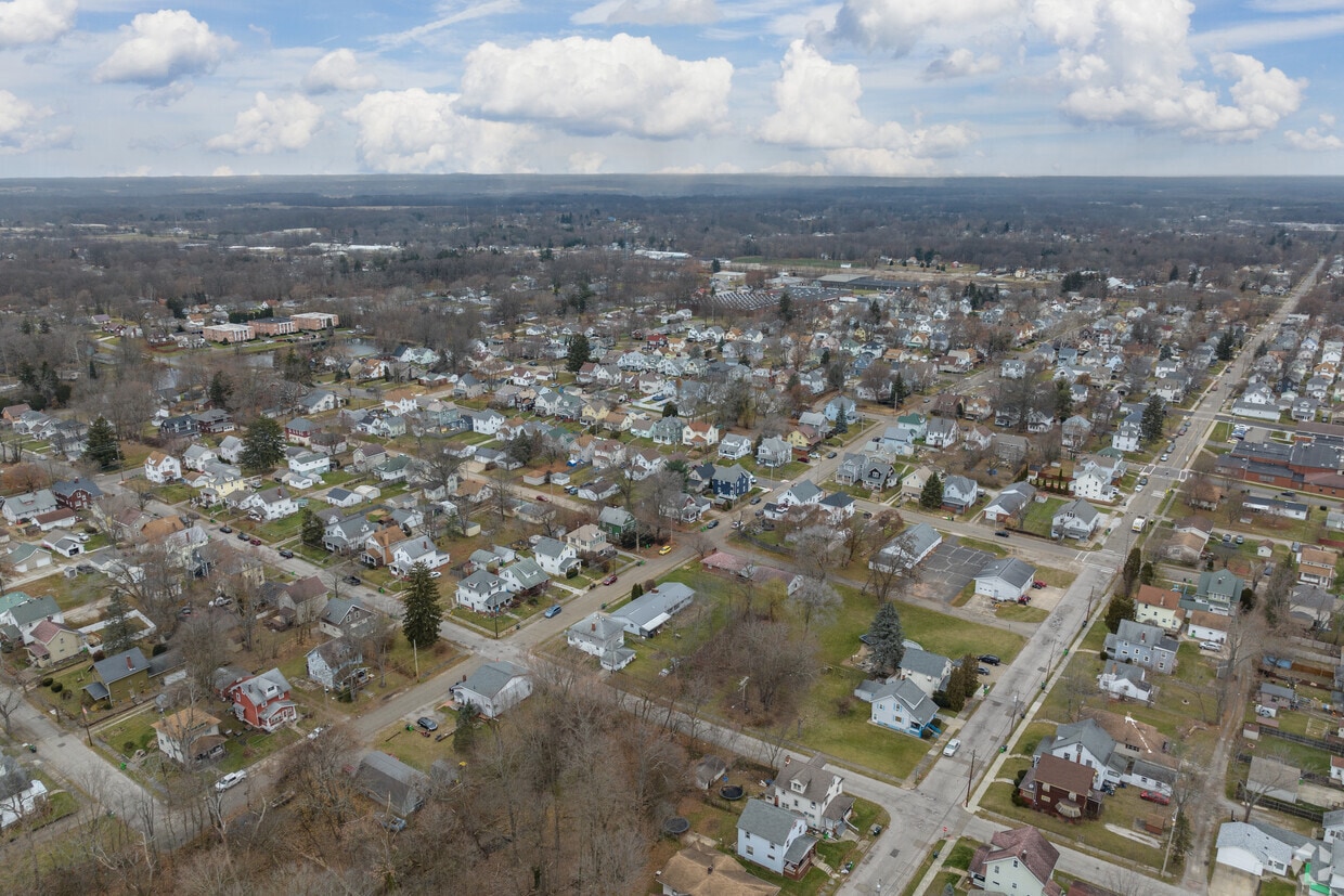
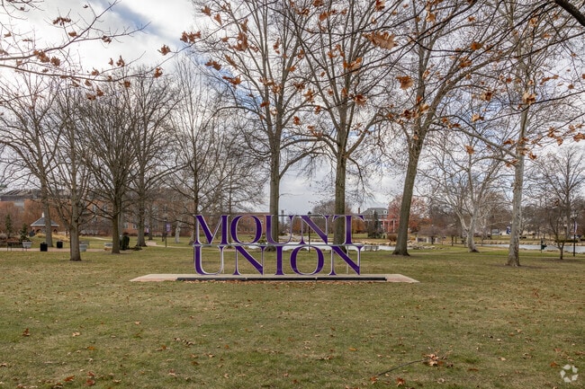
Alliance sits about 20 miles northeast of Canton in Stark County, shaped by its origins as a railroad and manufacturing hub. Founded in 1854 through the merger of three smaller communities, the city carries that layered history through its pre-war architecture, a walkable downtown, and the University of Mount Union, a private liberal arts college established in 1846 that anchors much of the city's day-to-day energy. Alliance is also Ohio's Carnation City, recognized for its ties to the scarlet carnation, the state flower, which the city celebrates each year with the Greater Alliance Carnation Festival. The downtown core along East State Street offers a compact mix of local dining and retail, while the historic district draws those with an interest in architecture and local heritage. Glamorgan Castle adds a distinct landmark presence to the landscape. The rental market leans toward well-priced apartments and smaller apartment communities spread across established residential neighborhoods, with a range of options from cozy studios to spacious multi-bedroom units. Life in Alliance moves at a measured pace, with a genuine small-city feel and easy access to larger regional centers like Canton and Akron.
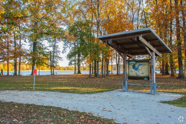
Deer Creek Reservoir features space for family recreation in the neighborhood of Alliance.
Mount Union college in Alliance is a great choice for high school seniors to choose.
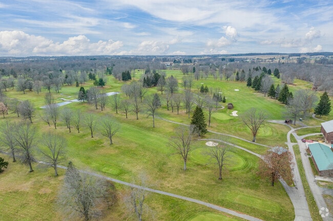
Tannenhauf Golf Club has a great course and beautiful scenery in Alliance
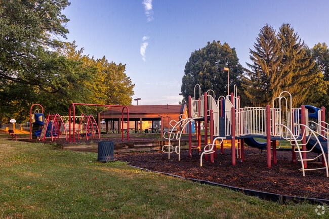
Residents of Alliance enjoy large homes surrounded by dense old growth trees.
Median Household Income
$48,670
Average: $60,431
Education
4,146
Residents Have a Degree
Job Market
9,780
Workers Employed
Median Age
38 Years
Largest Age Group
20-29 Years
Approximately 16% of Residents
Under 20
24%
Over 65
20%
Housing Distribution
Alliance has more homeowners than renters.

Education Distribution
Review this city's overall education levels.

As of August 2026, the average apartment rent in Alliance, OH is $536 for a studio, $632 for one bedroom, $944 for two bedrooms, and $1,167 for three bedrooms. Apartment rent in Alliance has increased by 1.8% in the past year.
Explore how walkable, bikeable, drivable, and transit-friendly Alliance, OH is for everyday living.
Fairly Walkable
Walkability
Exceptionally Drivable
Drivability
Fairly Bikeable
Bikeability
Public
Grades K-5
276 Students

Public
Grades K-5
303 Students

Public
Grades K-5
384 Students

Public
Grades K-5
414 Students

Alliance Early Learning School
Public
Grades K-5
408 Students

Public
Grades 6-8
413 Students

Public
Grades 6-8
572 Students
Public
Grades 9-12
576 Students
Public
Grades 9-12
839 Students
† Our analysis of utilities, groceries, transportation, healthcare, home prices, and other goods and services is sourced from the Cost of Living Index, a respected benchmark published by the Council for Community and Economic Research (C2ER) that provides a thorough overview of living expenses across different regions.
Rent data is provided by CoStar Group’s Market Trend reports. As the industry leader in commercial real estate information, analytics, and news, CoStar conducts extensive research to produce and maintain a comprehensive database of commercial real estate information. We combine this data with public record to provide the most up-to-date rental information available.
Consumer goods, services, and home prices are sourced from the Cost of Living Index published by the Council for Community and Economic Research (C2ER). The data on this page is updated quarterly. It was last published in June 2026.
Demographic information comes from Neustar and combines detailed address data with U.S. Census and American Community Survey statistics to produce reliable local estimates.


