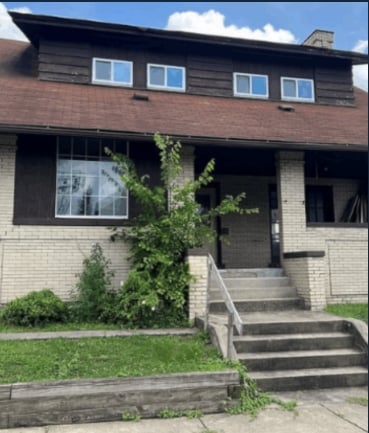
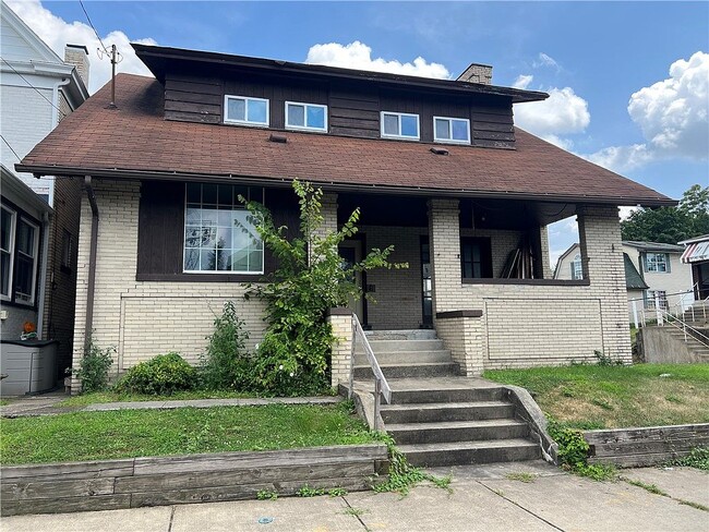
500 Marwood Ave
Mc Kees Rocks, PA 15136
-
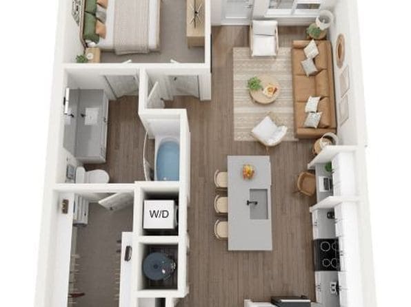
Bedrooms
3
-
Bathrooms
2
-
Square Feet
2,040 sq ft
-
Available
Available Now

Contact
- Phone Number
Known for rugged hills and rolling countryside mixed with developed areas called boroughs, the southern portion of Allegheny County remains a beautiful compliment to nearby city life in Pittsburgh. Located about 14 miles southeast of Pittsburgh, it takes about an hour to reach the city's center. One of Pennsylvania’s largest areas, South Allegheny consists of several towns and suburbs set in an idyllic landscape. Great destinations include historic Kennywood Park, which first opened in 1899 and is listed on the National Register of Historic Places.
Learn more about living in South Allegheny| Colleges & Universities | Distance | ||
|---|---|---|---|
| Colleges & Universities | Distance | ||
| Drive: | 11 min | 4.7 mi | |
| Drive: | 10 min | 4.8 mi | |
| Drive: | 10 min | 5.4 mi | |
| Drive: | 12 min | 5.9 mi |


View GreatSchools Rating Methodology
Data provided by GreatSchools.org © 2026. All rights reserved.
Transportation options available in Mc Kees Rocks include Allegheny Station, located 4.5 miles from 500 Marwood Ave. 500 Marwood Ave is near Pittsburgh International, located 12.7 miles or 26 minutes away.
| Transit / Subway | Distance | ||
|---|---|---|---|
| Transit / Subway | Distance | ||
| Drive: | 9 min | 4.5 mi | |
|
|
Drive: | 9 min | 4.7 mi |
|
|
Drive: | 10 min | 4.9 mi |
| Drive: | 10 min | 5.1 mi | |
|
|
Drive: | 11 min | 5.6 mi |
| Commuter Rail | Distance | ||
|---|---|---|---|
| Commuter Rail | Distance | ||
|
|
Drive: | 12 min | 5.7 mi |
|
|
Drive: | 58 min | 38.4 mi |
| Airports | Distance | ||
|---|---|---|---|
| Airports | Distance | ||
|
Pittsburgh International
|
Drive: | 26 min | 12.7 mi |
Time and distance from 500 Marwood Ave.
| Shopping Centers | Distance | ||
|---|---|---|---|
| Shopping Centers | Distance | ||
| Drive: | 3 min | 1.1 mi | |
| Drive: | 6 min | 1.8 mi | |
| Drive: | 5 min | 1.9 mi |
| Parks and Recreation | Distance | ||
|---|---|---|---|
| Parks and Recreation | Distance | ||
|
Carnegie Science Center
|
Drive: | 10 min | 4.5 mi |
|
Allegheny Commons Park
|
Drive: | 10 min | 4.8 mi |
|
National Aviary
|
Drive: | 12 min | 5.2 mi |
|
Riverview Park
|
Drive: | 14 min | 5.6 mi |
|
Allegheny Observatory
|
Drive: | 15 min | 5.9 mi |
| Hospitals | Distance | ||
|---|---|---|---|
| Hospitals | Distance | ||
| Drive: | 4 min | 1.8 mi | |
| Drive: | 12 min | 5.5 mi | |
| Drive: | 12 min | 6.1 mi |
| Military Bases | Distance | ||
|---|---|---|---|
| Military Bases | Distance | ||
| Drive: | 23 min | 11.2 mi |
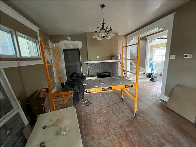
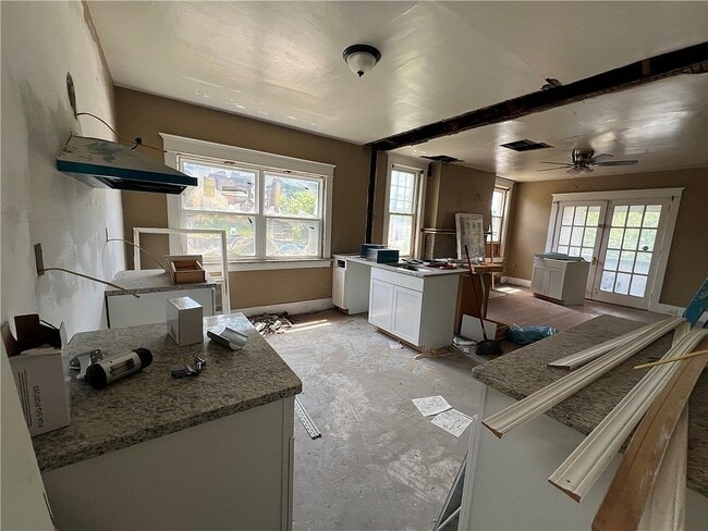
500 Marwood Ave Photos
What Are Walk Score®, Transit Score®, and Bike Score® Ratings?
Walk Score® measures the walkability of any address. Transit Score® measures access to public transit. Bike Score® measures the bikeability of any address.
What is a Sound Score Rating?
A Sound Score Rating aggregates noise caused by vehicle traffic, airplane traffic and local sources

500 Marwood Ave
Mc Kees Rocks, PA 15136