
$1,400
/ Month
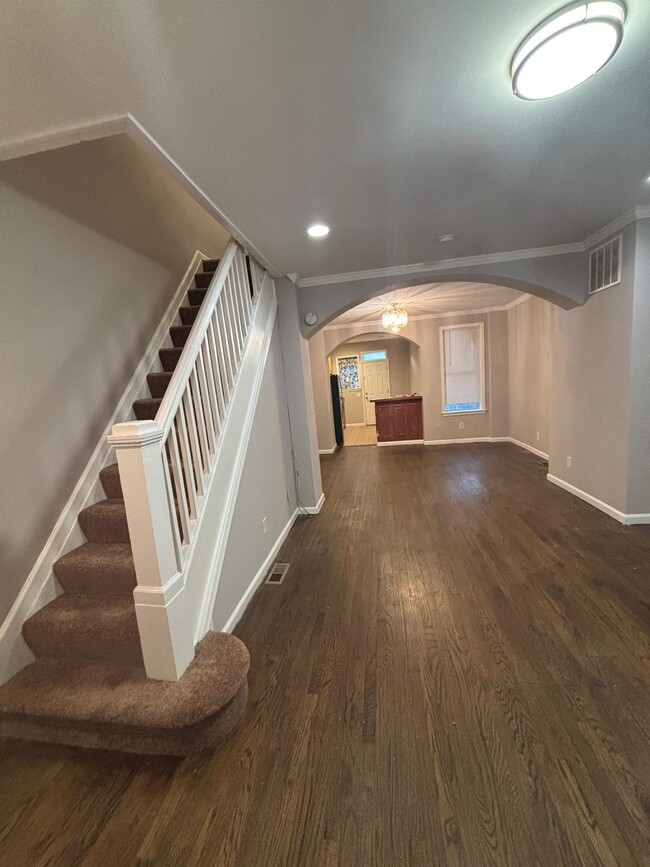
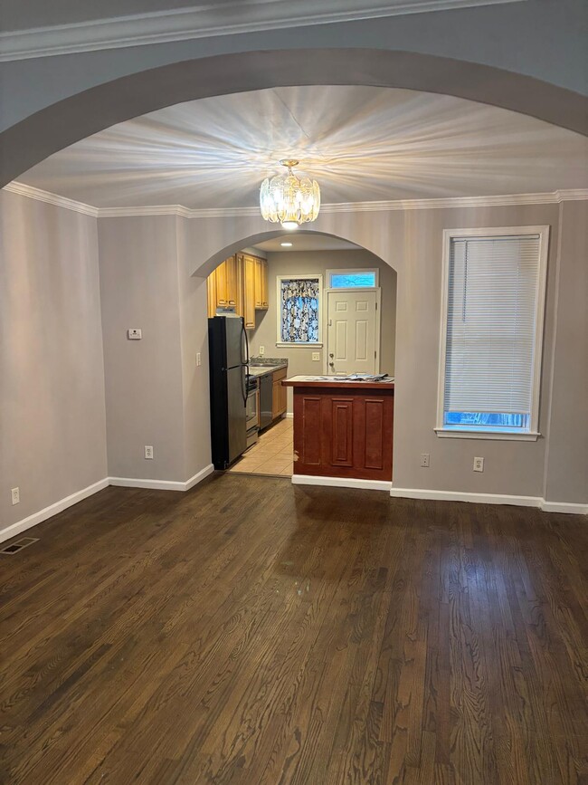
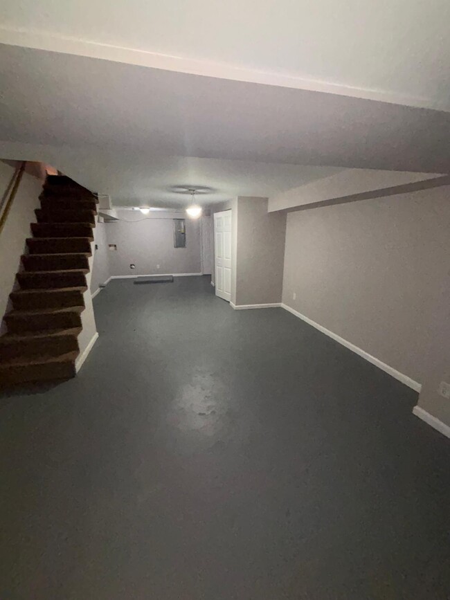
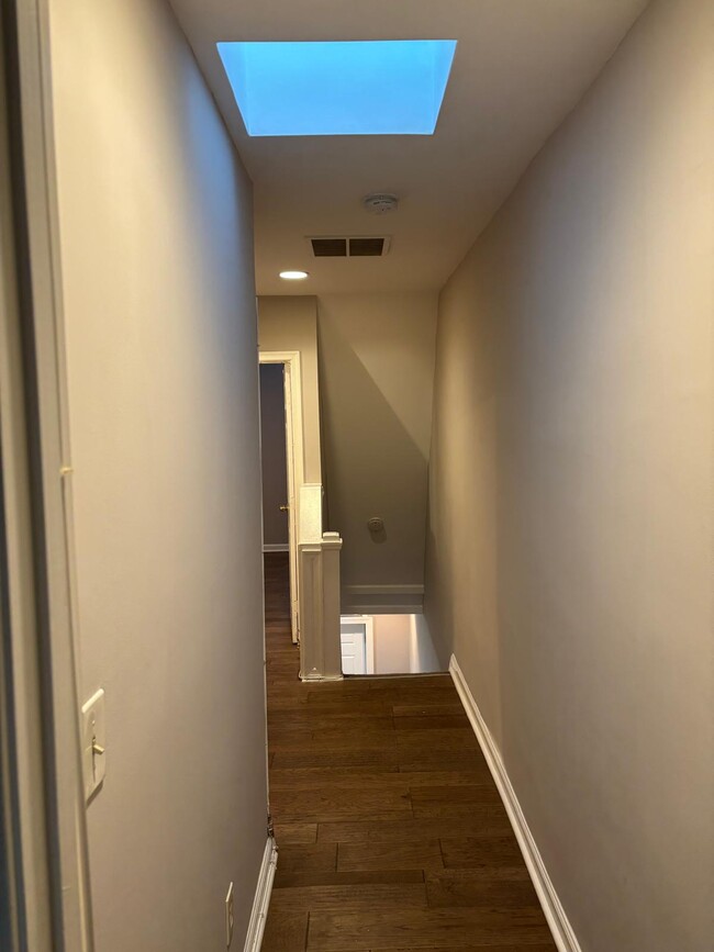
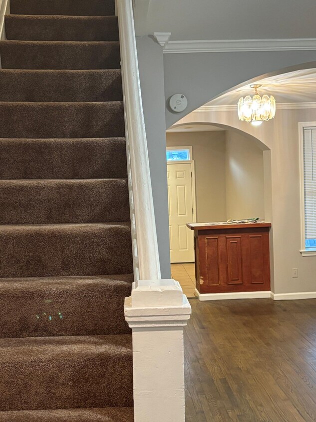
2638 Aisquith St
Baltimore, MD 21218
Today
|
Edit
Favorites
571-436-1569
-
Bedrooms
3
-
Bathrooms
1
-
Square Feet
--
-
Available
Available Now
2638 Aisquith St

Favorites
Midway Coldstream is located between Lock Raven Road and Hartford Road, with Clifton Park on its southeast side. Lake Montebello is adjacent to the neighborhood, and a lakefront park with a playground is located along East 32nd Street. Midway Coldstream is home to Baltimore City College, a public magnet high school. This neighborhood makes up a large portion of the Coldstream-Homestead-Montebello Historic District, which is listed on the National Register of Historic Places.
Conveniently located, Midway Coldstream is roughly a mile southeast of Johns Hopkins University and about two miles northeast of Downtown Baltimore. Baltimore City College, nicknamed the "Castle on the Hill" is a college preparatory school with a liberal arts focus. The school dates back to 1839, of the oldest active high schools in the country.
Learn more about living in Midway-Coldstream
Education
| Colleges & Universities | Distance | ||
|---|---|---|---|
| Colleges & Universities | Distance | ||
| Drive: | 5 min | 1.9 mi | |
| Drive: | 6 min | 1.9 mi | |
| Drive: | 6 min | 2.2 mi | |
| Drive: | 11 min | 2.8 mi |
2638 Aisquith St is within 11 minutes or 2.8 miles from Johns Hopkins University. It is also near University of Baltimore and Johns Hopkins.
Schools


Public Elementary & Middle School
Grades PK-8
266 Students
Attendance Zone
Public Middle & High School
Grades 6-12
496 Students
Attendance Zone
Public Middle School
Grades 6-8
339 Students
Attendance Zone
Public High School
Grades 9-12
708 Students
Attendance Zone
Public High School
Grades 9-12
1,497 Students
Attendance Zone
Private Elementary, Middle & High School
Grades PK-11
Nearby
Private Elementary & Middle School
Grades PK-8
Nearby
Private High School
Grades 11-12
7 Students
Nearby
School data provided by
 The GreatSchools Rating helps parents compare schools within a state based on a variety of school quality indicators and provides a helpful picture of how effectively each school serves all of its students. Ratings are on a scale of 1 (below average) to 10 (above average) and can include test scores, college readiness, academic progress, advanced courses, equity, discipline and attendance data. We also advise parents to visit schools, consider other information on school performance and programs, and consider family needs as part of the school selection process.
View GreatSchools Rating Methodology
Data provided by GreatSchools.org © 2025. All rights reserved.
View GreatSchools Rating Methodology
Data provided by GreatSchools.org © 2025. All rights reserved.
Transportation options available in Baltimore include North Avenue, located 1.8 miles from 2638 Aisquith St. 2638 Aisquith St is near Baltimore/Washington International Thurgood Marshall, located 13.0 miles or 26 minutes away.
| Transit / Subway | Distance | ||
|---|---|---|---|
| Transit / Subway | Distance | ||
|
|
Drive: | 5 min | 1.8 mi |
| Drive: | 6 min | 1.9 mi | |
|
|
Drive: | 6 min | 2.0 mi |
|
|
Drive: | 6 min | 2.1 mi |
| Drive: | 6 min | 2.2 mi |
| Commuter Rail | Distance | ||
|---|---|---|---|
| Commuter Rail | Distance | ||
|
|
Drive: | 5 min | 1.7 mi |
|
|
Drive: | 10 min | 3.3 mi |
|
|
Drive: | 12 min | 4.6 mi |
|
|
Drive: | 23 min | 8.5 mi |
| Drive: | 24 min | 9.2 mi |
| Airports | Distance | ||
|---|---|---|---|
| Airports | Distance | ||
|
Baltimore/Washington International Thurgood Marshall
|
Drive: | 26 min | 13.0 mi |
Time and distance from 2638 Aisquith St.
| Shopping Centers | Distance | ||
|---|---|---|---|
| Shopping Centers | Distance | ||
| Walk: | 16 min | 0.9 mi | |
| Drive: | 3 min | 1.1 mi | |
| Drive: | 3 min | 1.2 mi |
2638 Aisquith St has 3 shopping centers within 1.2 miles, which is about a 3-minute walk. The miles and minutes will be for the farthest away property.
| Parks and Recreation | Distance | ||
|---|---|---|---|
| Parks and Recreation | Distance | ||
|
Clifton Park
|
Walk: | 21 min | 1.1 mi |
|
Maryland Space Grant Consortium Observatory
|
Drive: | 6 min | 2.0 mi |
|
Herring Run Park
|
Drive: | 6 min | 2.1 mi |
|
Port Discovery Children's Museum
|
Drive: | 8 min | 2.7 mi |
|
Patterson Park
|
Drive: | 9 min | 2.9 mi |
2638 Aisquith St has 5 parks within 2.9 miles, including Clifton Park, Maryland Space Grant Consortium Observatory, and Herring Run Park.
| Hospitals | Distance | ||
|---|---|---|---|
| Hospitals | Distance | ||
| Drive: | 4 min | 1.5 mi | |
| Drive: | 5 min | 1.7 mi | |
| Drive: | 5 min | 1.8 mi |
2638 Aisquith St has 3 hospitals within 1.8 miles, the nearest is MedStar Union Memorial Hospital which is 1.5 miles away and a 4 minute drive.
| Military Bases | Distance | ||
|---|---|---|---|
| Military Bases | Distance | ||
| Drive: | 38 min | 21.1 mi |
2638 Aisquith St is 21.1 miles and a 38 minute drive from Fort George Meade.
You May Also Like
Similar Rentals Nearby


What Are Walk Score®, Transit Score®, and Bike Score® Ratings?
Walk Score® measures the walkability of any address. Transit Score® measures access to public transit. Bike Score® measures the bikeability of any address.
What is a Sound Score Rating?
A Sound Score Rating aggregates noise caused by vehicle traffic, airplane traffic and local sources
2638 Aisquith St
Baltimore, MD 21218