
Dover Park Apartments
713 E Travis Blvd,
Fairfield, CA 94533
$1,857 - $2,277
1-4 Beds
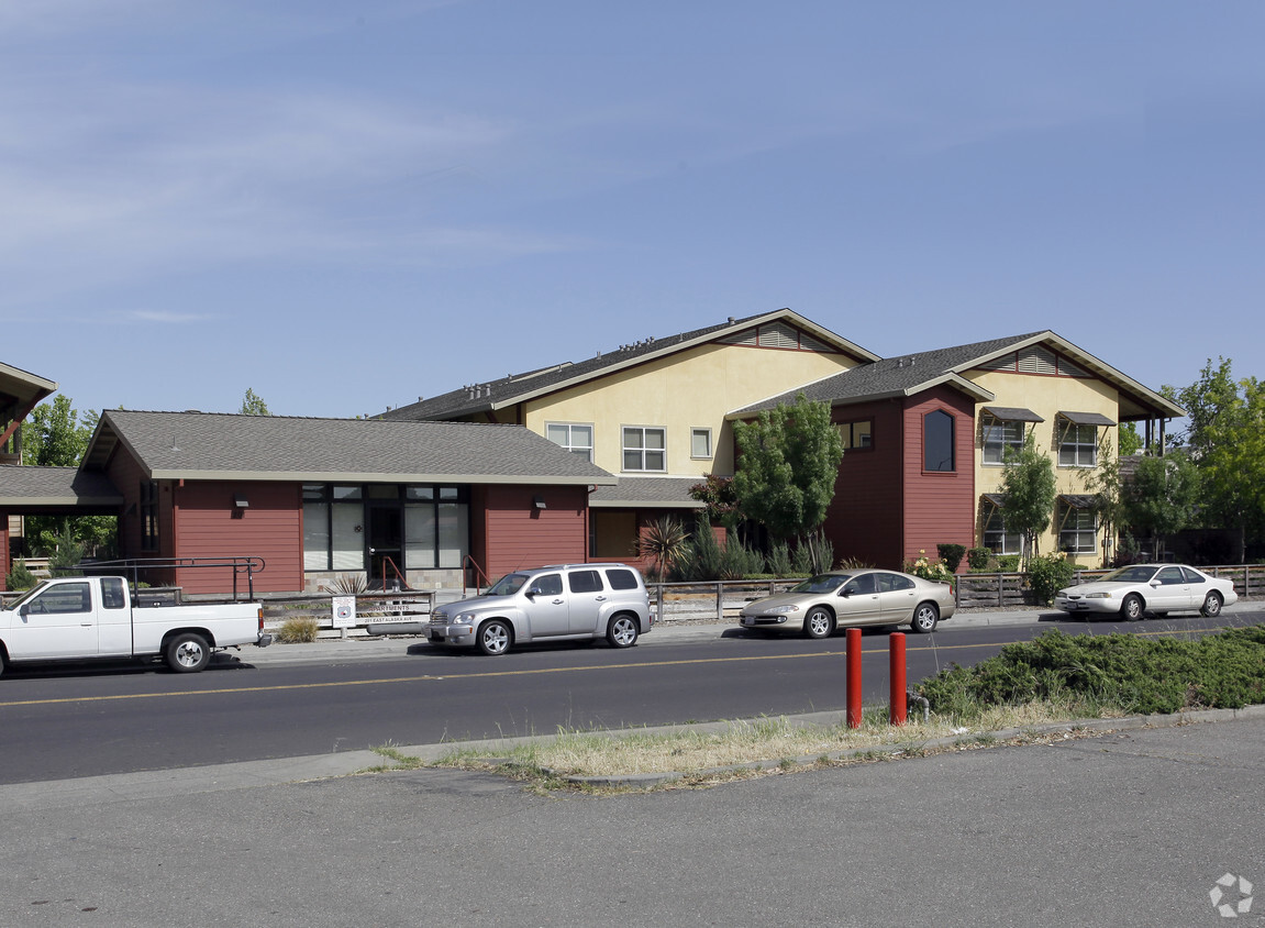
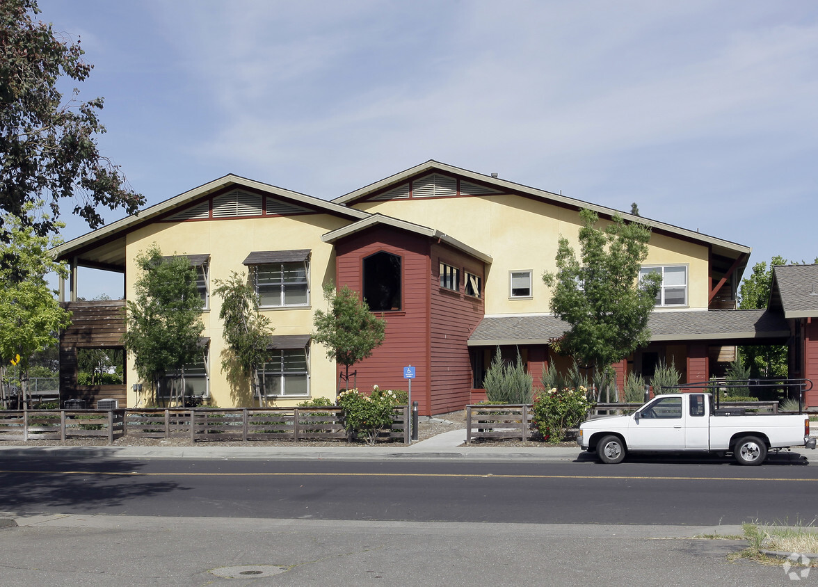
Discover your new home at Laurel Gardens. This community can be found at 201 E. Alaska Ave in Fairfield. The leasing team is ready and waiting for you to visit. Be sure to check out the apartment floorplan options. Experience a new standard at Laurel Gardens.
Laurel Gardens is an apartment community located in Solano County and the 94533 ZIP Code. This area is served by the Fairfield-Suisun Unified School District attendance zone.
Fairfield sits at the center of Solano County as its county seat, planted squarely along Interstate 80 between Sacramento and San Francisco—making it a practical home base for people who work in either direction. Founded in 1856 by clipper ship captain Robert H. Waterman, who named it after his Connecticut hometown, the city has grown into a place with real economic range. Travis Air Force Base anchors a significant portion of the local economy, while the Jelly Belly Candy Company and Anheuser-Busch brewery add to a workforce that also draws from healthcare, retail, and commercial sectors. Solano Community College serves students throughout the region and adds an educational presence to the community.
Neighborhoods shift noticeably from one part of the city to another. Downtown and the West Texas Street corridor offer walkable blocks with local shops and a more urban rhythm, while Cordelia and Green Valley lean toward hillside settings with open space nearby.
Learn more about living in Fairfield| Colleges & Universities | Distance | ||
|---|---|---|---|
| Colleges & Universities | Distance | ||
| Drive: | 13 min | 8.3 mi | |
| Drive: | 24 min | 18.4 mi | |
| Drive: | 29 min | 21.8 mi | |
| Drive: | 51 min | 38.7 mi |


Scores provided by
Traffic
-Airport
-Businesses
-Scores provided by
HowLoud What is a Sound Score Rating? A Sound Score Rating aggregates noise caused by vehicle traffic, airplane traffic and local sources. How It WorksWhat Are Walk Score®, Transit Score®, and Bike Score® Ratings?
Walk Score® measures the walkability of any address. Transit Score® measures access to public transit. Bike Score® measures the bikeability of any address.
What is a Sound Score Rating?
A Sound Score Rating aggregates noise caused by vehicle traffic, airplane traffic and local sources.

201 E Alaska Ave
Fairfield, CA 94533


