
Park West
3200-3200 Pleasant Grove Blvd,
Roseville, CA 95747
$2,450 - $4,200
1-4 Beds
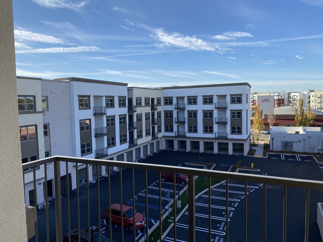
Welcome to Junction Crossing, a residential community featuring affordable studio & one bedroom apartments in Roseville, CA. Spacious layouts and amenities welcome you home, along with exceptional service and an ideal location within walking distance to shopping, dining and entertainment options. Are you looking for an apartment for rent in Roseville, CA? Contact our friendly, professional office staff today. Income restrictions apply.
Junction Crossing is an apartment community located in Placer County and the 95678 ZIP Code. This area is served by the Roseville City Elementary attendance zone.
Fitness Center
Clubhouse
Business Center
Bicycle Storage
Air Conditioning
Dishwasher
Washer/Dryer Hookup
Walk-In Closets
Roseville Heights is the ideal neighborhood -- a leisurely walk from Downtown Roseville, filled with apartments and houses for rent, and minutes from the Alan S. Hart Freeway. Head three miles north to one of the area's favorite malls, Westfield Galleria, or directly west of the neighborhood to peruse Denio's Farmers Market & Swap Meet.
Visit two-acre Weber Park for a stroll before sunset or a game of pick-up basketball. If you appreciate both great food, old-time train depots, and model trains, go to the Pacific Street Cafe for all three. Irish fare reigns on the menu at the nearby Boxing Donkey Irish Pub & Restaurant, and the Union Roseville charms patrons with its great food, brick walls, video arcade, and artisan beers. Enjoy the tri-tip tacos and other deli delights at Roundhouse Deli.
Learn more about living in Roseville HeightsCompare neighborhood and city base rent averages by bedroom.
| Roseville Heights | Roseville, CA | |
|---|---|---|
| Studio | $840 | $1,503 |
| 1 Bedroom | $301 | $1,912 |
| 2 Bedrooms | - | $2,338 |
| 3 Bedrooms | - | $2,791 |
| Colleges & Universities | Distance | ||
|---|---|---|---|
| Colleges & Universities | Distance | ||
| Drive: | 12 min | 5.9 mi | |
| Drive: | 19 min | 9.9 mi | |
| Drive: | 30 min | 15.1 mi | |
| Drive: | 29 min | 18.2 mi |


Transportation options available in Roseville include Watt/I-80, located 10.6 miles from Junction Crossing. Junction Crossing is near Sacramento International, located 25.8 miles or 36 minutes away.
| Transit / Subway | Distance | ||
|---|---|---|---|
| Transit / Subway | Distance | ||
|
|
Drive: | 15 min | 10.6 mi |
|
|
Drive: | 22 min | 12.4 mi |
| Drive: | 18 min | 12.4 mi | |
|
|
Drive: | 23 min | 13.3 mi |
|
|
Drive: | 25 min | 14.0 mi |
| Commuter Rail | Distance | ||
|---|---|---|---|
| Commuter Rail | Distance | ||
|
|
Walk: | 1 min | 0.1 mi |
|
|
Drive: | 10 min | 4.7 mi |
| Drive: | 23 min | 17.2 mi | |
|
|
Drive: | 24 min | 17.3 mi |
| Drive: | 26 min | 19.1 mi |
| Airports | Distance | ||
|---|---|---|---|
| Airports | Distance | ||
|
Sacramento International
|
Drive: | 36 min | 25.8 mi |
Time and distance from Junction Crossing.
| Shopping Centers | Distance | ||
|---|---|---|---|
| Shopping Centers | Distance | ||
| Walk: | 10 min | 0.6 mi | |
| Walk: | 16 min | 0.9 mi | |
| Drive: | 3 min | 1.1 mi |
| Parks and Recreation | Distance | ||
|---|---|---|---|
| Parks and Recreation | Distance | ||
|
Mahany Park
|
Drive: | 8 min | 3.9 mi |
|
Sierra College Natural History Museum
|
Drive: | 11 min | 5.9 mi |
|
Mahan Park
|
Drive: | 12 min | 6.1 mi |
|
Luken Park
|
Drive: | 12 min | 6.2 mi |
|
Roccucci Park
|
Drive: | 14 min | 7.4 mi |
| Hospitals | Distance | ||
|---|---|---|---|
| Hospitals | Distance | ||
| Drive: | 6 min | 2.9 mi | |
| Drive: | 8 min | 3.0 mi | |
| Drive: | 15 min | 8.1 mi |
| Military Bases | Distance | ||
|---|---|---|---|
| Military Bases | Distance | ||
| Drive: | 26 min | 11.2 mi |
What Are Walk Score®, Transit Score®, and Bike Score® Ratings?
Walk Score® measures the walkability of any address. Transit Score® measures access to public transit. Bike Score® measures the bikeability of any address.
What is a Sound Score Rating?
A Sound Score Rating aggregates noise caused by vehicle traffic, airplane traffic and local sources

120 Pacific St
Roseville, CA 95678


