
The Grove on Brockington
9901 Brockington Rd,
Sherwood, AR 72120
$795 - $1,275
1-3 Beds
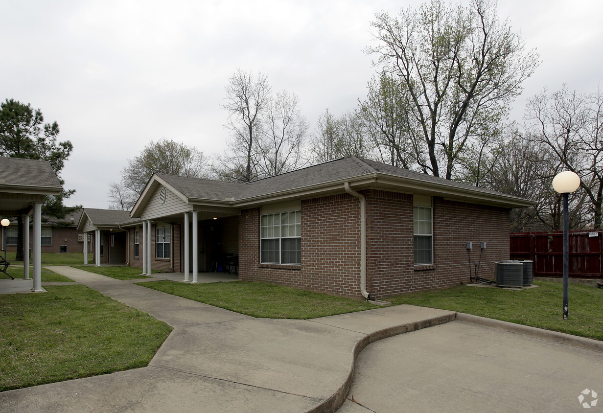
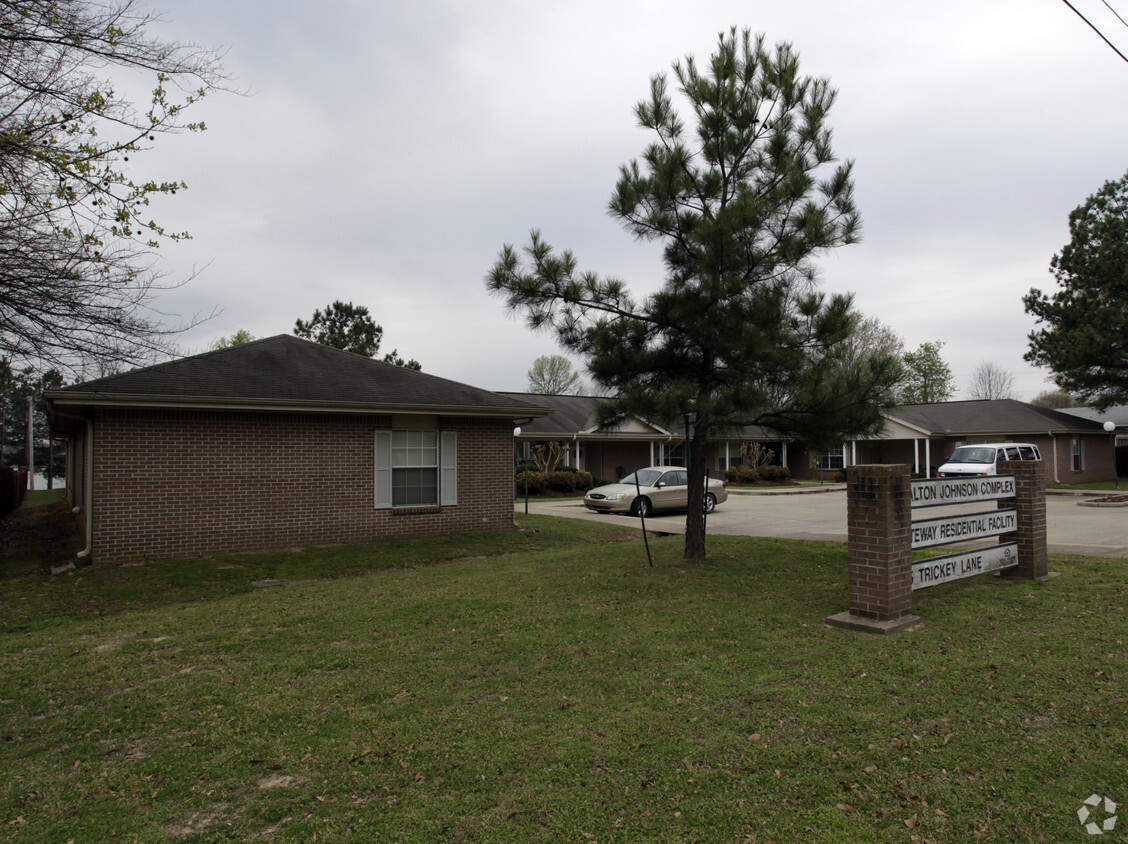

Johnson's in Jacksonville, AR is ready to be your home. The 72076 location in Jacksonville is an ideal place to move. The leasing team is ready and waiting to help you find the perfect floorplan. Be sure to check out the current floorplan options. Stop by to check current floorplan availability.
Johnson's is an apartment community located in Pulaski County and the 72076 ZIP Code. This area is served by the Jacksonville North Pulaski School District attendance zone.
Jacksonville/Sherwood is a wooded area about 15 miles north of Little Rock. The community’s northern and western regions are mostly rural, but the town has a lot to offer. Jacksonville/ Sherwood has a diverse rental market with an abundance of affordable rental options. Modern amenities are located within and right outside of town, giving residents plenty of shopping and dining choices at places like McCain Mall and Lakewood Village. Outdoor recreation is abundant with forested parks and trails as well as the ones surrounding the Arkansas River. Commuters will appreciate Interstate 40 and Highway 167, which make traveling a breeze.
Learn more about living in Jacksonville/SherwoodCompare neighborhood and city base rent averages by bedroom.
| Jacksonville/Sherwood | Jacksonville, AR | |
|---|---|---|
| Studio | $525 | $374 |
| 1 Bedroom | $703 | $632 |
| 2 Bedrooms | $884 | $772 |
| 3 Bedrooms | $1,067 | $914 |
| Colleges & Universities | Distance | ||
|---|---|---|---|
| Colleges & Universities | Distance | ||
| Drive: | 21 min | 14.0 mi | |
| Drive: | 21 min | 15.1 mi | |
| Drive: | 25 min | 16.8 mi | |
| Drive: | 29 min | 19.9 mi |


Scores provided by
Traffic
-Airport
-Businesses
-Scores provided by
HowLoud What is a Sound Score Rating? A Sound Score Rating aggregates noise caused by vehicle traffic, airplane traffic and local sources. How It WorksWhat Are Walk Score®, Transit Score®, and Bike Score® Ratings?
Walk Score® measures the walkability of any address. Transit Score® measures access to public transit. Bike Score® measures the bikeability of any address.
What is a Sound Score Rating?
A Sound Score Rating aggregates noise caused by vehicle traffic, airplane traffic and local sources.


