Jasmine Lane

600 Buckeye Rd, East Dublin, GA 31027

Share Listing
Favorites
Jasmine Lane
Share Listing
Favorites

About Jasmine Lane

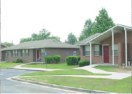
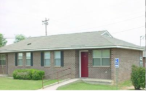
Discover true East Dublin living at Jasmine Lane. A convenient Buckeye Rd. address in the 31027 area of East Dublin makes a popular place for you to live. Be sure to see the available floorplan options. From location to floorplan options, the leasing team will assist you in finding the perfect new apartment. Contact us or drop by the leasing office to talk about leasing your next apartment and see Jasmine Lane.

Jasmine Lane is an apartment community located in Laurens County and the 31027 ZIP Code. This area is served by the Laurens County School District attendance zone.

Apartment Features

Office

Heating

Oven

Range

  • Heating
  • Kitchen
  • Oven
  • Range
  • Office
Location
600 Buckeye Rd, East Dublin,
GA 31027
Get Directions
Education
Colleges & Universities Distance
Drive: 9 min 4.4 mi
Drive: 51 min 35.3 mi
Drive: 56 min 36.5 mi
Jasmine Lane is within 9 minutes or 4.4 miles from Middle Georgia State, Dublin. It is also near Middle Georgia State, Cochran and East Georgia State College.
Schools
Public Elementary School
Grades PK-5
538 Students
Nearby
Public Elementary School
Grades PK-5
632 Students
Attendance Zone
Public Elementary School
Grades K-5
491 Students
Attendance Zone
Public Middle & High School
Grades 6-11
7 Students
Nearby
Public Middle School
Grades 6-8
927 Students
Attendance Zone
Public Middle School
Grades 6-8
552 Students
Attendance Zone
Public High School
Grades 9-12
1,271 Students
Attendance Zone
Public High School
Grades 9-12
648 Students
Attendance Zone
Private Elementary, Middle & High School
Grades PK-12
370 Students
Nearby
Transportation

Walkability Near Jasmine Lane

Getting Around
Somewhat Walkable
Walkability
30 / 100
Very Drivable
Drivability
80 / 100
Somewhat Bikeable
Bikeability
20 / 100

Scores provided by

What do Walkability, Transit, Drivability, and Bikeability mean? Walkability measures the walking distance to day-to-day needs. Transit measures access to public transportation. Drivability measures congestion, parking availability, and access to major roads. Bikeability measures the suitability for cycling. How It Works
Active
Soundscore
75 / 100

Traffic

Active

Airport

Calm

Businesses

Active

Scores provided by

HowLoud What is a Sound Score Rating? A Sound Score Rating aggregates noise caused by vehicle traffic, airplane traffic and local sources. How It Works
Points of Interest

Time and distance from Jasmine Lane.

Shopping Centers Distance
Walk: 11 min 0.6 mi
Drive: 7 min 3.5 mi
Drive: 7 min 3.7 mi
Jasmine Lane has 3 shopping centers within 3.7 miles, which is about a 7-minute drive. The miles and minutes will be for the farthest away property.
Hospitals Distance
Hospitals Distance
Drive: 11 min 5.6 mi
Jasmine Lane is 5.6 miles and a 11 minute drive from Fairview Park Hospital.
Military Bases Distance
Drive: 74 min 52.7 mi
Drive: 104 min 75.4 mi
Drive: 106 min 78.8 mi
Jasmine Lane has 3 military bases within 78.8 miles, the nearest is Robins Air Force Base which is 52.7 miles away and a 74 minute drive.

Explore Similar Rentals Nearby