
HWY 49
Mount Pleasant, TX 75455

Check Back Soon for Upcoming Availability
| Beds | Baths | Average SF |
|---|---|---|
| 3 Bedrooms 3 Bedrooms 3 Br | 2 Baths 2 Baths 2 Ba | 1,344 SF |
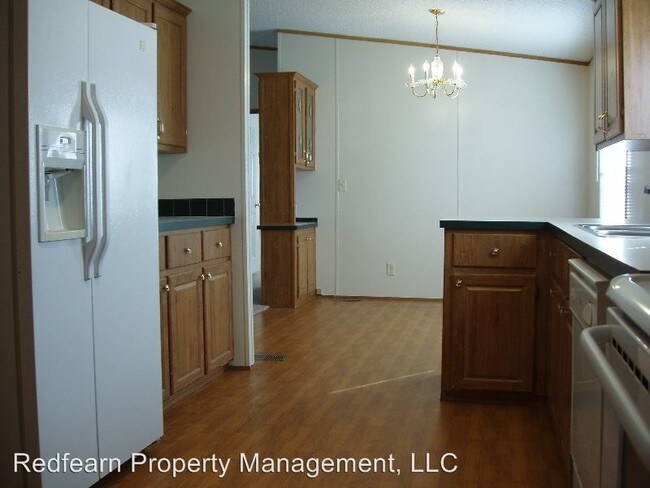
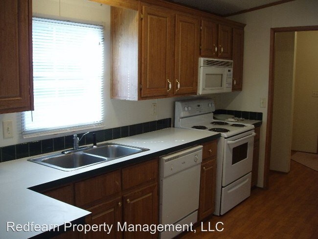
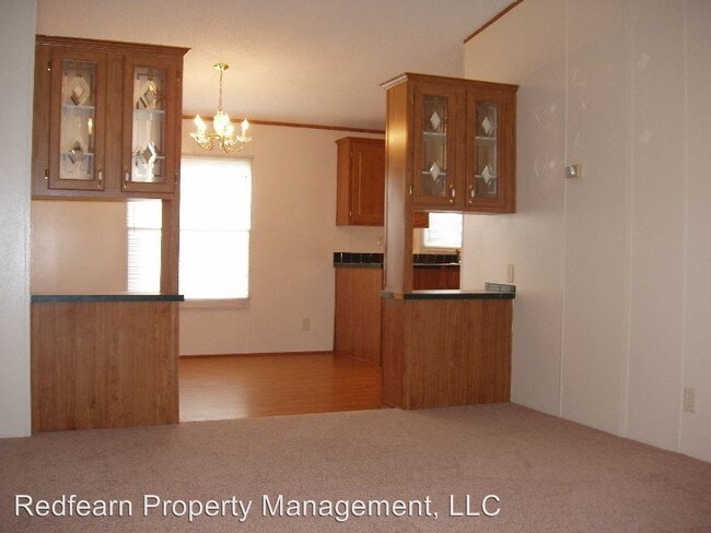
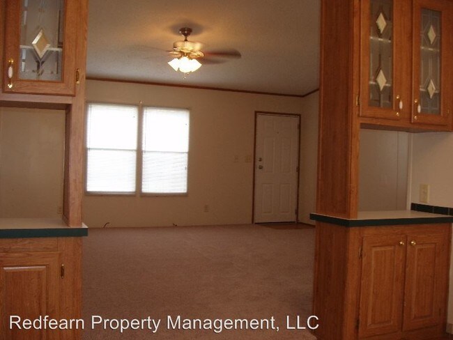
About This Property
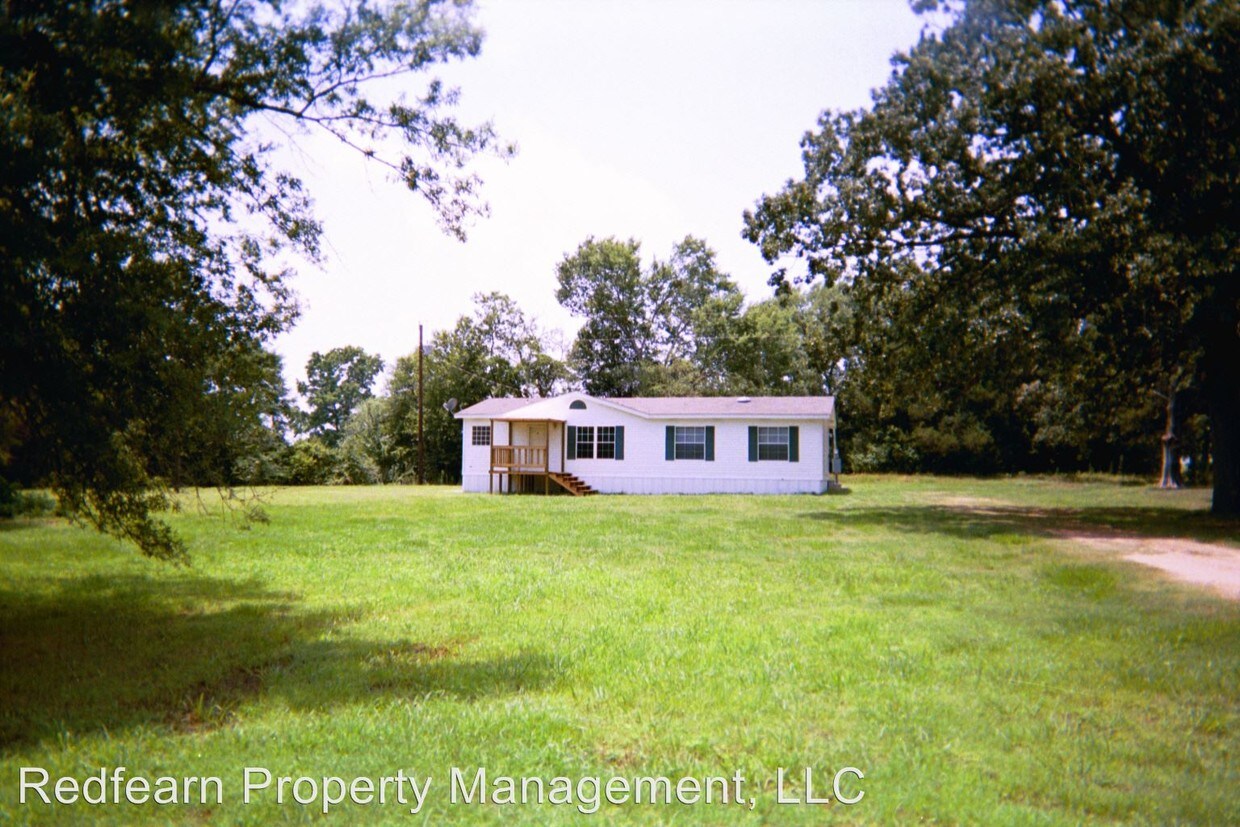
(903) 577-7007 - 279 CR 4355 - Payton Keystone - This 3 bedroom 2 bathroom property is located near NTCC and Chapel Hill. (RLNE2613590)
Hwy 49 is a condo located in Titus County and the 75455 ZIP Code. This area is served by the Chapel Hill Independent School District attendance zone.
Nestled in northeastern Texas, Mount Pleasant exudes a laidback atmosphere, where residents enjoy a slower-paced lifestyle along with an array of small-town charms. Mount Pleasant’s historic downtown square sits at the heart of the community, touting a slew of specialty shops, offices, museums, and eateries in brick buildings. Downtown also hosts the seasonal Mount Pleasant Farmer’s Market.
Mount Pleasant fosters a strong sense of community with a variety of year-round events, including the Titus County Fair and Livestock Show, Highway 271 Car Cruise, Everything Texas Ranch Run, World Youth Rodeo, and many more. Residents also come together at the town’s many scenic parks, such as Town Lake Park, Dellwood Park, and Heritage Park.
The Mount Pleasant community welcomes the town’s growth while maintaining its Texas Main Street city atmosphere. The many metropolitan delights of Dallas are also about a two hours’ drive away.
Learn more about living in Mount Pleasant

View GreatSchools Rating Methodology
Data provided by GreatSchools.org © 2026. All rights reserved.
Walkability Near HWY 49 Mount Pleasant, TX 75455
Scores provided by
Traffic
-Airport
-Businesses
-Scores provided by
HowLoud What is a Sound Score Rating? A Sound Score Rating aggregates noise caused by vehicle traffic, airplane traffic and local sources. How It WorksWhat Are Walk Score®, Transit Score®, and Bike Score® Ratings?
Walk Score® measures the walkability of any address. Transit Score® measures access to public transit. Bike Score® measures the bikeability of any address.
What is a Sound Score Rating?
A Sound Score Rating aggregates noise caused by vehicle traffic, airplane traffic and local sources.
HWY 49
Mount Pleasant, TX 75455