
Kinect at Southport
2301 Jefferson Blvd,
Sacramento, CA 95691
$1,550 - $3,049
Studio - 3 Beds
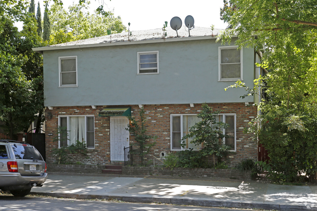
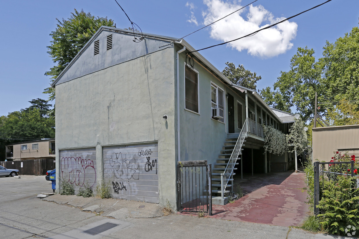
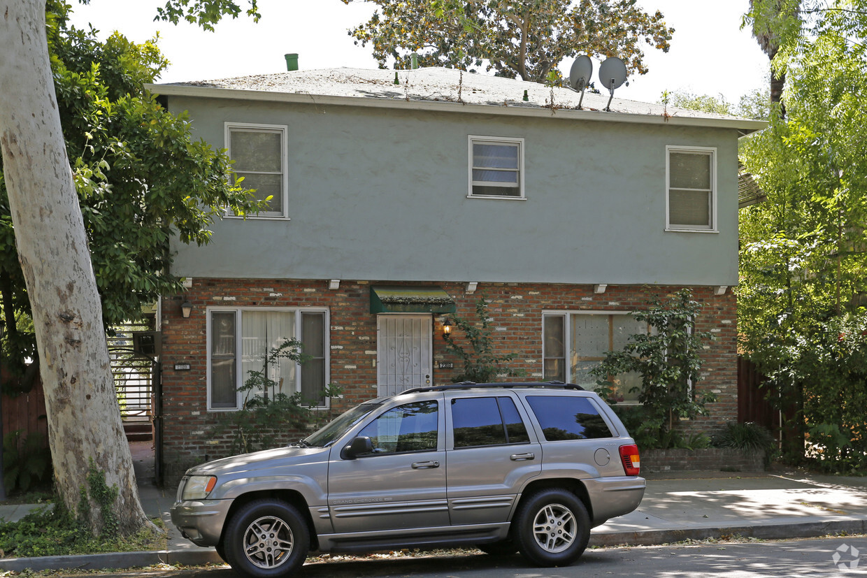
At Green Haven in Sacramento, find a great place to live. Located in the 95816 area of Sacramento on G St., renters have convenient access to a number of enjoyable points of interest in the surrounding area. Be sure to check out the apartment floorplan options. Here at this community, the community staff is ready to help you find the perfect floorplan. Stop by the leasing office to talk about your next apartment.
Green Haven is an apartment community located in Sacramento County and the 95816 ZIP Code. This area is served by the Sacramento City Unified School District attendance zone.
East of Downtown and north of Midtown, Sacramento’s Boulevard Park is a popular in-city neighborhood known for its delicious local restaurants and charming residential streets. If you cross over 16th Street, you’ll find yourself at the Governor’s Mansion State Historic Park! This beautiful Victorian mansion features landscaped gardens that have been around since 1877. Historic architecture is a unique appeal to Boulevard Park.
After you’ve found your urban rental in the neighborhood, check out popular local spots like Old Soul at the Weatherstone, known for its java drinks and industrial vibe. Lucca serves up the best Mediterranean cuisine in town, while Capital Stage is the best place to enjoy local theater. Even more restaurants and entertainment options can be found on the south side of J Street like the Old Spaghetti Factory and the Porch Restaurant and Bar.
Learn more about living in Boulevard ParkCompare neighborhood and city base rent averages by bedroom.
| Boulevard Park | Sacramento, CA | |
|---|---|---|
| Studio | $1,553 | $1,475 |
| 1 Bedroom | $1,449 | $1,565 |
| 2 Bedrooms | $2,033 | $1,869 |
| 3 Bedrooms | $1,360 | $2,428 |
| Colleges & Universities | Distance | ||
|---|---|---|---|
| Colleges & Universities | Distance | ||
| Drive: | 7 min | 3.4 mi | |
| Drive: | 7 min | 3.8 mi | |
| Drive: | 16 min | 9.9 mi | |
| Drive: | 16 min | 10.5 mi |


Transportation options available in Sacramento include 23Rd Street, located 0.9 mile from Green Haven. Green Haven is near Sacramento International, located 12.3 miles or 20 minutes away.
| Transit / Subway | Distance | ||
|---|---|---|---|
| Transit / Subway | Distance | ||
|
|
Walk: | 18 min | 0.9 mi |
|
|
Walk: | 18 min | 1.0 mi |
|
|
Drive: | 3 min | 1.2 mi |
|
|
Drive: | 2 min | 1.3 mi |
|
|
Drive: | 3 min | 1.3 mi |
| Commuter Rail | Distance | ||
|---|---|---|---|
| Commuter Rail | Distance | ||
| Drive: | 4 min | 1.6 mi | |
| Drive: | 21 min | 17.0 mi | |
|
|
Drive: | 26 min | 18.5 mi |
|
|
Drive: | 26 min | 20.7 mi |
|
|
Drive: | 40 min | 32.9 mi |
| Airports | Distance | ||
|---|---|---|---|
| Airports | Distance | ||
|
Sacramento International
|
Drive: | 20 min | 12.3 mi |
Scores provided by
Traffic
-Airport
-Businesses
-Scores provided by
HowLoud What is a Sound Score Rating? A Sound Score Rating aggregates noise caused by vehicle traffic, airplane traffic and local sources. How It WorksTime and distance from Green Haven.
| Shopping Centers | Distance | ||
|---|---|---|---|
| Shopping Centers | Distance | ||
| Walk: | 5 min | 0.3 mi | |
| Walk: | 8 min | 0.4 mi | |
| Walk: | 12 min | 0.6 mi |
| Parks and Recreation | Distance | ||
|---|---|---|---|
| Parks and Recreation | Distance | ||
|
Sutter's Fort State Historical Monument
|
Walk: | 12 min | 0.6 mi |
|
Governor's Mansion State Historic Park
|
Walk: | 13 min | 0.7 mi |
|
California State Capitol Museum
|
Drive: | 4 min | 1.5 mi |
|
Leland Stanford Mansion State Historic Park
|
Drive: | 4 min | 1.5 mi |
|
Old Sacramento Historic District
|
Drive: | 5 min | 1.9 mi |
| Hospitals | Distance | ||
|---|---|---|---|
| Hospitals | Distance | ||
| Walk: | 15 min | 0.8 mi | |
| Drive: | 3 min | 1.5 mi | |
| Drive: | 5 min | 2.3 mi |
| Military Bases | Distance | ||
|---|---|---|---|
| Military Bases | Distance | ||
| Drive: | 23 min | 10.0 mi |
What Are Walk Score®, Transit Score®, and Bike Score® Ratings?
Walk Score® measures the walkability of any address. Transit Score® measures access to public transit. Bike Score® measures the bikeability of any address.
What is a Sound Score Rating?
A Sound Score Rating aggregates noise caused by vehicle traffic, airplane traffic and local sources.


