


2 Beds
$895
Total Monthly Price
12 Month Lease
Total Monthly Price
New
Prices include all required monthly fees.
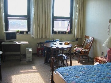
182 Thomas Dr Unit 1


