


$4,290 - $9,340
Precio mensual totalAlquiler base$4,290 - $9,340
Utilidades y elementos esencialesVaría
Precio mensual total$4,290 - $9,340
Contrato de 12 meses
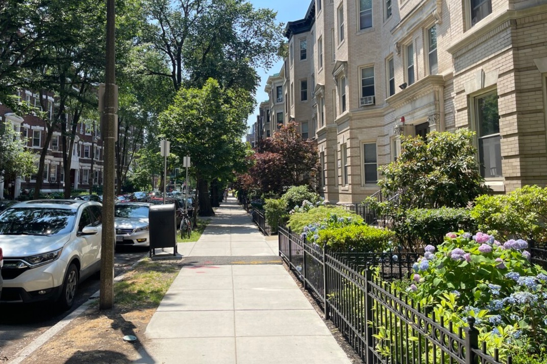
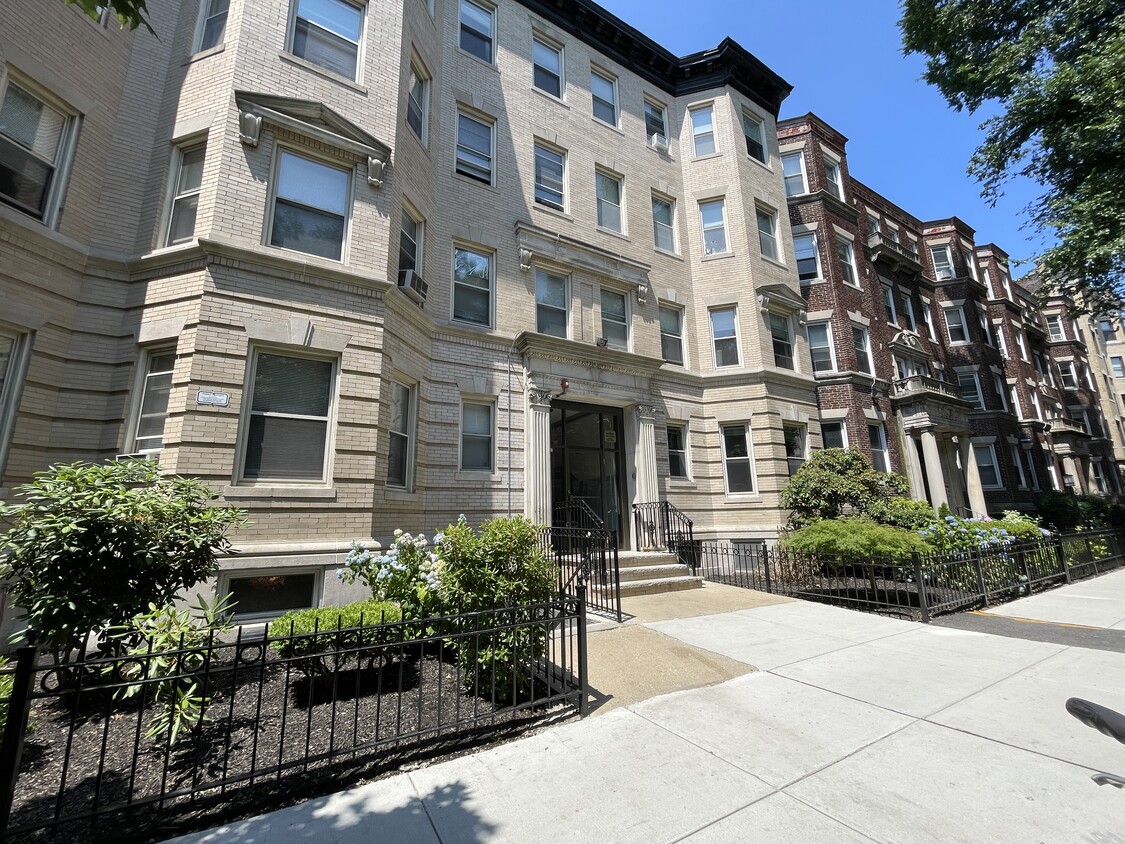
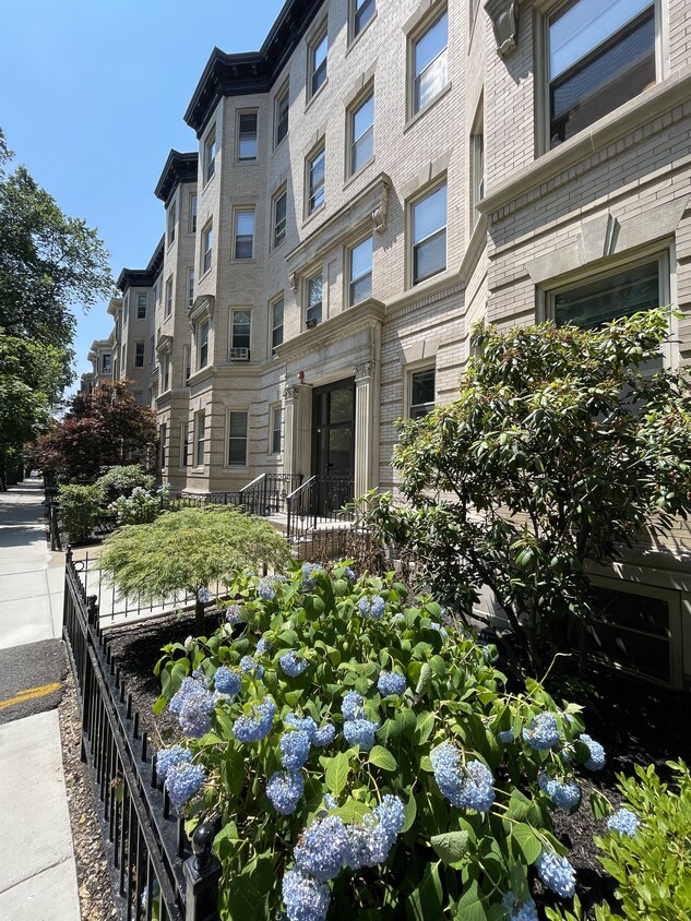
1-3 habitaciones
1 mes gratis
Se permiten mascotas Gimnasio Lavaplatos Refrigerador Cocina Lavadora/Secadora - En la unidad


