
Terrace Hill
4111 Westcity Ct,
El Paso, TX 79902
$868 - $1,308
Studio - 2 Beds
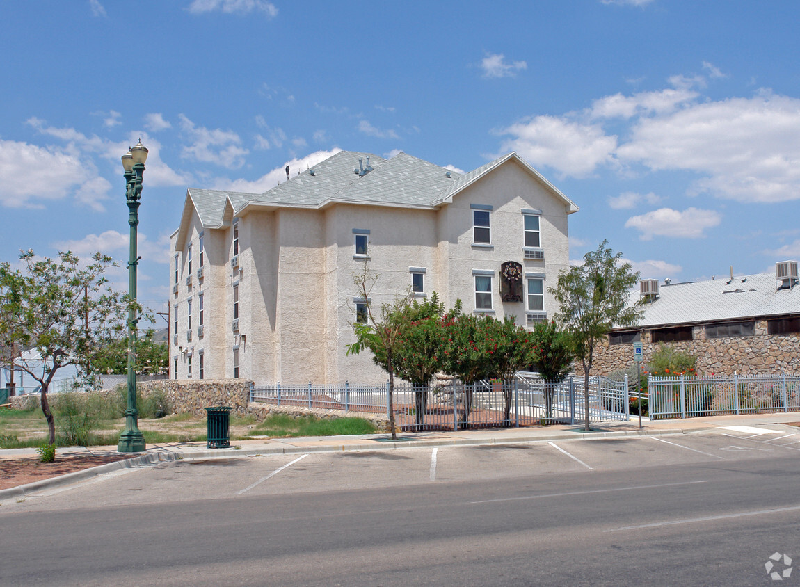
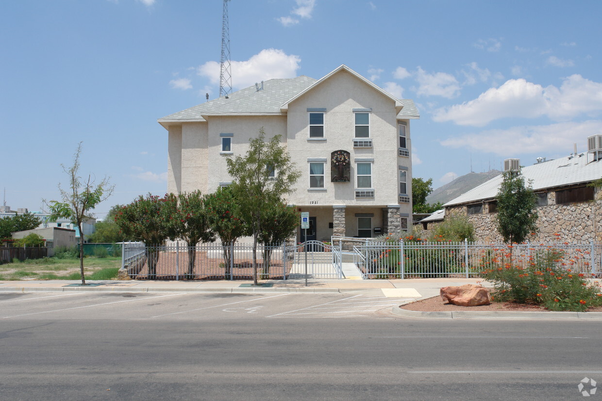

Explore your new apartment at El Paso Coalition For The Homeless. This community can be found at 1221 Magoffin Ave in El Paso. The team of leasing professionals is ready for you to come by for a tour. Make sure you to view the available floorplans. Life is great at El Paso Coalition For The Homeless. Stop by the leasing office to check the availability and set up a tour today.
El Paso Coalition For The Homeless is an apartment community located in El Paso County and the 79901 ZIP Code. This area is served by the El Paso Independent School District attendance zone.
Nestled along the United States-Mexico border, Downtown El Paso is the heart of this vibrant, multicultural city. It’s not hard to see why this commercial and cultural hub is so attractive to renters. A variety of affordable and upscale single-family homes, condos, and apartments saturate the area while being minutes away from the area's cultural and entertainment amenities. Everything from the El Paso Museum of Art to the El Paso Convention and Performing Art Center lie within a convenient stroll or a short drive for residents. For shopping and dining, locals flock to El Centro, El Paso’s historic shopping district boasting architecture, diverse eateries, and charming, locally owned shops. And of course, downtown is home to annual special events like Viva! El Paso, Mighty Mujer Triathlon, and Chalk the Block, a three-day art festival known for its sidewalk chalk art competition.
Learn more about living in Downtown El PasoCompare neighborhood and city base rent averages by bedroom.
| Downtown El Paso | El Paso, TX | |
|---|---|---|
| Studio | $668 | $768 |
| 1 Bedroom | $721 | $971 |
| 2 Bedrooms | $851 | $1,138 |
| 3 Bedrooms | $1,099 | $1,409 |
| Colleges & Universities | Distance | ||
|---|---|---|---|
| Colleges & Universities | Distance | ||
| Drive: | 3 min | 1.5 mi | |
| Drive: | 5 min | 2.7 mi | |
| Drive: | 13 min | 7.1 mi | |
| Drive: | 16 min | 10.1 mi |


Scores provided by
Traffic
BusyAirport
CalmBusinesses
BusyScores provided by
HowLoud What is a Sound Score Rating? A Sound Score Rating aggregates noise caused by vehicle traffic, airplane traffic and local sources. How It WorksPets Allowed Pool Dishwasher Range CableReady Heat
What Are Walk Score®, Transit Score®, and Bike Score® Ratings?
Walk Score® measures the walkability of any address. Transit Score® measures access to public transit. Bike Score® measures the bikeability of any address.
What is a Sound Score Rating?
A Sound Score Rating aggregates noise caused by vehicle traffic, airplane traffic and local sources.


