
The Apartments At Weatherby
1 Pond View Dr,
Woolwich, NJ 08085
$2,100 - $2,422
2 Beds
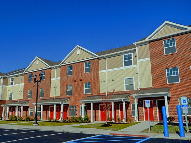
Located in Gloucester County, Eagle View Trail is a brand new family apartment community offering 80 energy efficient one, two and three bedroom apartments homes. Five of the apartment homes have been set aside for formerly homeless residents. Each apartment home will have a private entrance and a fully equipped kitchen. Eagle View Trail is conveniently located near restaurants, shops and banks.
Eagle View Trail is an apartment community located in Gloucester County and the 08085 ZIP Code. This area is served by the Swedesboro-Woolwich Board Of Education attendance zone.
Fitness Center
Laundry Facilities
Clubhouse
Business Center
Air Conditioning
Dishwasher
Walk-In Closets
Island Kitchen
Woolwich, also known as Woolwich Township, is an idyllic community situated in Gloucester County. Residents enjoy an overall peaceful atmosphere complemented by vast stretches of open fields, farmland, and greenery. The enclave of Swedesboro also provides the community with an array of modern delights, including independent eateries, shops, and markets strewn along Kings Highway.
Woolwich is home to numerous farms, wineries, and distilleries, offering plenty of options for tours and tastings in your off hours. The community is perfectly situated within commuting distance of Wilmington, Delaware as well as Philadelphia, Pennsylvania, making the pastoral locale a top choice for many area commuters seeking a tranquil home environment near big cities. Access to the New Jersey Turnpike and Interstate 295 gets you wherever you need to be.
Learn more about living in Woolwich| Colleges & Universities | Distance | ||
|---|---|---|---|
| Colleges & Universities | Distance | ||
| Drive: | 22 min | 11.5 mi | |
| Drive: | 23 min | 12.4 mi | |
| Drive: | 23 min | 12.5 mi | |
| Drive: | 25 min | 13.3 mi |


Fitness Center Pool Dishwasher Kitchen In Unit Washer & Dryer Walk-In Closets
What Are Walk Score®, Transit Score®, and Bike Score® Ratings?
Walk Score® measures the walkability of any address. Transit Score® measures access to public transit. Bike Score® measures the bikeability of any address.
What is a Sound Score Rating?
A Sound Score Rating aggregates noise caused by vehicle traffic, airplane traffic and local sources

1050 Auburn Rd
Woolwich, NJ 08085


