1 / 20

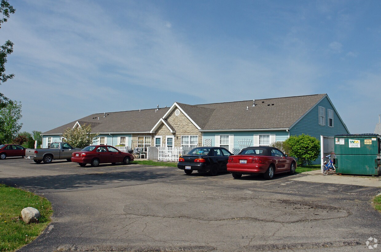
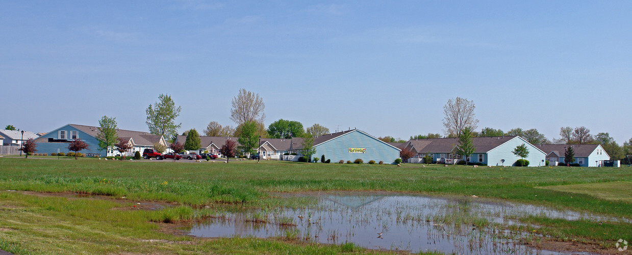

Check out Country Lane Apartments. You'll find this community at 400 Sunset Ct in South Charleston. Let the professional leasing staff show you everything this community has to offer. Experience a new standard at Country Lane Apartments.
Check out Country Lane Apartments. You'll find this community at 400 Sunset Ct in South Charleston. Let the professional leasing staff show you everything this community has to offer. Experience a new standard at Country Lane Apartments.
Country Lane Apartments is an apartment community located in Clark County and the 45368 ZIP Code. This area is served by the Southeastern Local School District attendance zone.
Air Conditioning
Refrigerator
Heating
Oven
| Colleges & Universities | Distance | ||
|---|---|---|---|
| Colleges & Universities | Distance | ||
| Drive: | 19 min | 11.6 mi | |
| Drive: | 25 min | 14.7 mi | |
| Drive: | 28 min | 14.8 mi | |
| Drive: | 25 min | 15.6 mi |


Scores provided by
Traffic
-Airport
-Businesses
-Scores provided by
HowLoud What is a Sound Score Rating? A Sound Score Rating aggregates noise caused by vehicle traffic, airplane traffic and local sources. How It Works
What Are Walk Score®, Transit Score®, and Bike Score® Ratings?
Walk Score® measures the walkability of any address. Transit Score® measures access to public transit. Bike Score® measures the bikeability of any address.
What is a Sound Score Rating?
A Sound Score Rating aggregates noise caused by vehicle traffic, airplane traffic and local sources.

400 Sunset Ct
South Charleston, OH 45368


