
10 Halletts Point
10, 20, 30 Halletts Pt,
Astoria, NY 11102
$3,319 - $6,971
Studio - 2 Beds

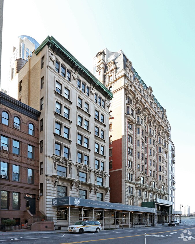
Experience New York living at Cooperative. You'll find this community on W 72nd St in New York. The professional leasing staff is ready to show off our wonderful community. Drop by the leasing office to see available floor plans and find your new place at Cooperative.
Cooperative is an apartment community located in New York County and the 10023 ZIP Code. This area is served by the New York City Geographic District # 3 attendance zone.
Air Conditioning
High Speed Internet Access
Smoke Free
Heating
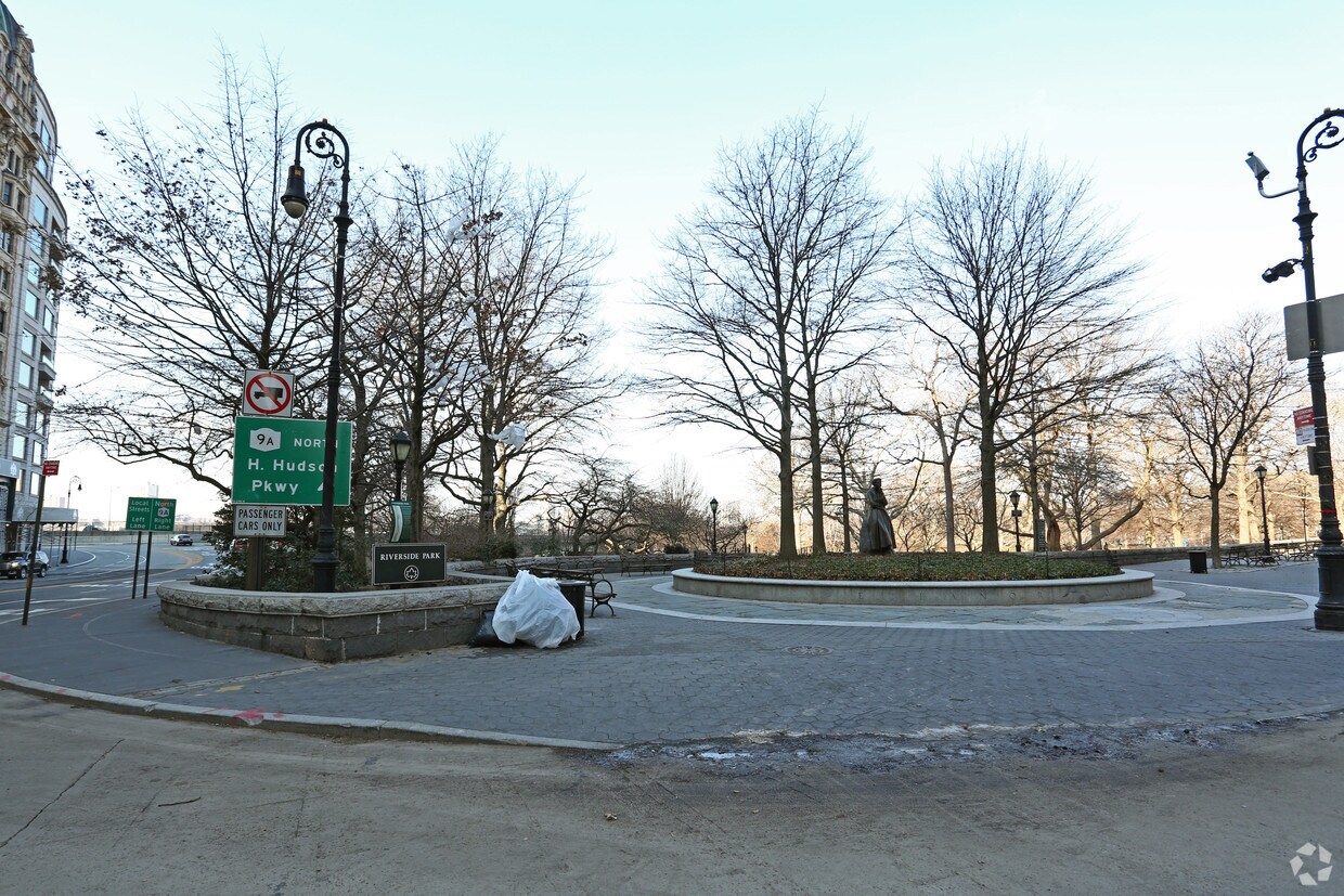
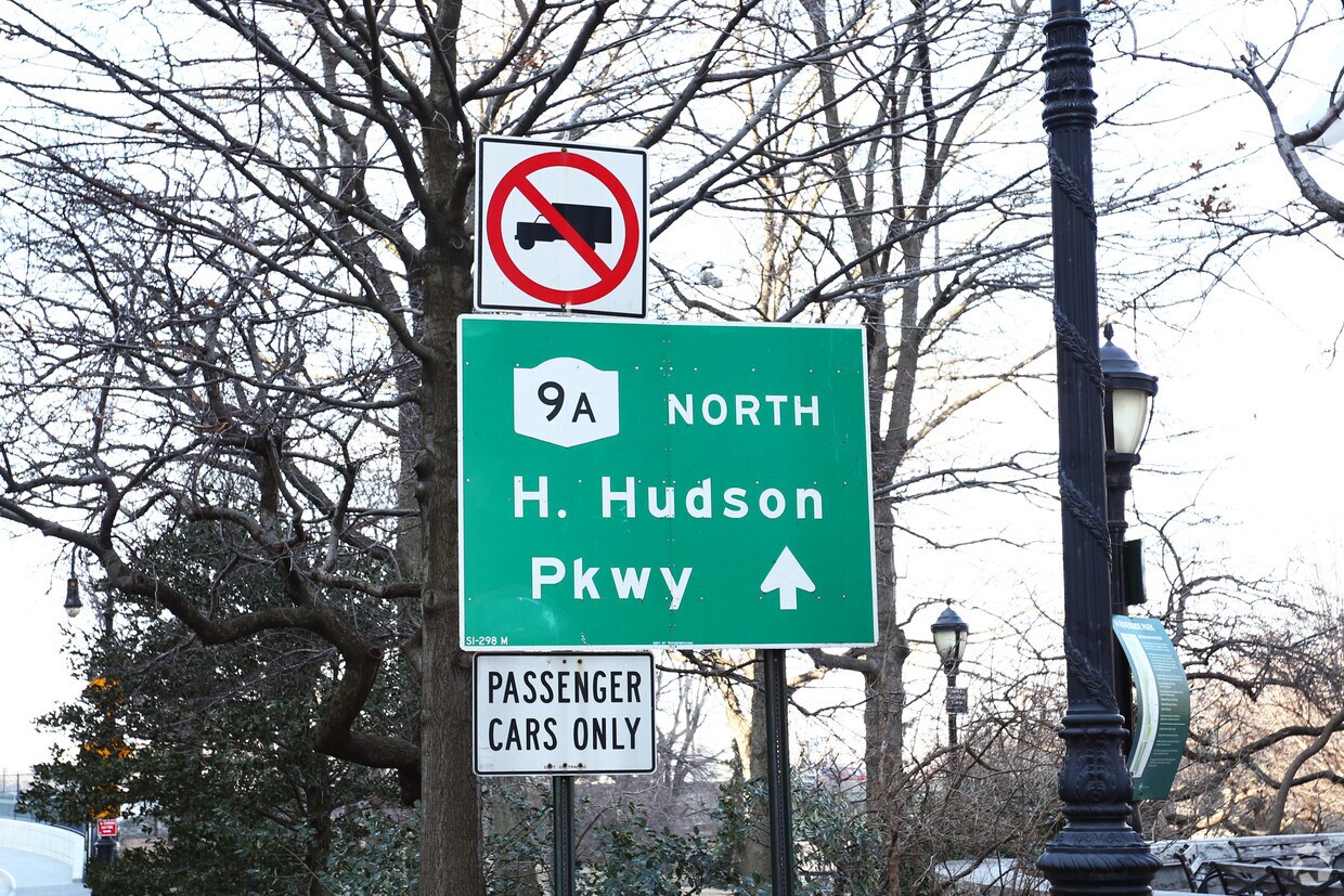
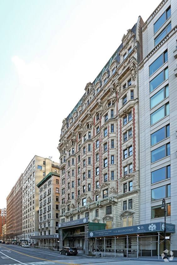
Lincoln Square is a lively, historic neighborhood bordering Central Park overlooking the Hudson River. Its unbeatable proximity to Manhattan’s most iconic green space, along with its beautiful riverfront views, make this neighborhood a one-of-a-kind urban destination for renters. The public transit on Broadway will get you around New York City, though this neighborhood is very walkable.
Both Julliard and Fordham University reside in Lincoln Square, making this an education hub for Manhattan. The arts are celebrated in Lincoln Square with various theaters, performing arts centers, museums, and music halls, most notable being the Metropolitan Opera House! Local restaurants are divine in Lincoln Square, so after you find your trendy urban apartment, check out the Smith, Rosa Mexicano, or grab a cupcake from Magnolia Bakery.
Learn more about living in Lincoln SquareCompare neighborhood and city base rent averages by bedroom.
| Lincoln Square | New York, NY | |
|---|---|---|
| Studio | $3,643 | $3,378 |
| 1 Bedroom | $5,091 | $4,173 |
| 2 Bedrooms | $7,925 | $5,736 |
| 3 Bedrooms | $12,153 | $7,222 |
| Colleges & Universities | Distance | ||
|---|---|---|---|
| Colleges & Universities | Distance | ||
| Walk: | 17 min | 0.9 mi | |
| Walk: | 17 min | 0.9 mi | |
| Drive: | 6 min | 1.8 mi | |
| Drive: | 5 min | 2.1 mi |

Transportation options available in New York include 72 Street (1,2,3 Line), located 0.3 mile from Cooperative. Cooperative is near LaGuardia, located 8.6 miles or 19 minutes away, and Newark Liberty International, located 15.4 miles or 23 minutes away.
| Transit / Subway | Distance | ||
|---|---|---|---|
| Transit / Subway | Distance | ||
|
|
Walk: | 5 min | 0.3 mi |
|
|
Walk: | 10 min | 0.5 mi |
|
|
Walk: | 12 min | 0.6 mi |
|
|
Walk: | 12 min | 0.7 mi |
|
|
Walk: | 19 min | 1.0 mi |
| Commuter Rail | Distance | ||
|---|---|---|---|
| Commuter Rail | Distance | ||
|
|
Drive: | 6 min | 2.4 mi |
|
|
Drive: | 6 min | 2.6 mi |
|
|
Drive: | 6 min | 2.6 mi |
|
|
Drive: | 7 min | 2.8 mi |
|
|
Drive: | 7 min | 2.8 mi |
| Airports | Distance | ||
|---|---|---|---|
| Airports | Distance | ||
|
LaGuardia
|
Drive: | 19 min | 8.6 mi |
|
Newark Liberty International
|
Drive: | 23 min | 15.4 mi |
Scores provided by
Traffic
BusyAirport
CalmBusinesses
BusyScores provided by
HowLoud What is a Sound Score Rating? A Sound Score Rating aggregates noise caused by vehicle traffic, airplane traffic and local sources. How It WorksTime and distance from Cooperative.
| Shopping Centers | Distance | ||
|---|---|---|---|
| Shopping Centers | Distance | ||
| Drive: | 5 min | 2.0 mi | |
| Drive: | 14 min | 6.2 mi |
| Parks and Recreation | Distance | ||
|---|---|---|---|
| Parks and Recreation | Distance | ||
|
Children's Museum of Manhattan
|
Walk: | 15 min | 0.8 mi |
|
American Museum of Natural History
|
Walk: | 15 min | 0.8 mi |
|
Damrosch Park
|
Walk: | 16 min | 0.8 mi |
|
Central Park
|
Drive: | 3 min | 1.1 mi |
|
De Witt Clinton Park
|
Drive: | 4 min | 1.4 mi |
| Hospitals | Distance | ||
|---|---|---|---|
| Hospitals | Distance | ||
| Walk: | 17 min | 0.9 mi | |
| Drive: | 6 min | 2.1 mi | |
| Drive: | 8 min | 2.7 mi |
| Military Bases | Distance | ||
|---|---|---|---|
| Military Bases | Distance | ||
| Drive: | 18 min | 6.9 mi | |
| Drive: | 27 min | 13.5 mi | |
| Drive: | 27 min | 16.7 mi |
What Are Walk Score®, Transit Score®, and Bike Score® Ratings?
Walk Score® measures the walkability of any address. Transit Score® measures access to public transit. Bike Score® measures the bikeability of any address.
What is a Sound Score Rating?
A Sound Score Rating aggregates noise caused by vehicle traffic, airplane traffic and local sources.
340 W 72nd St
New York, NY 10023


