

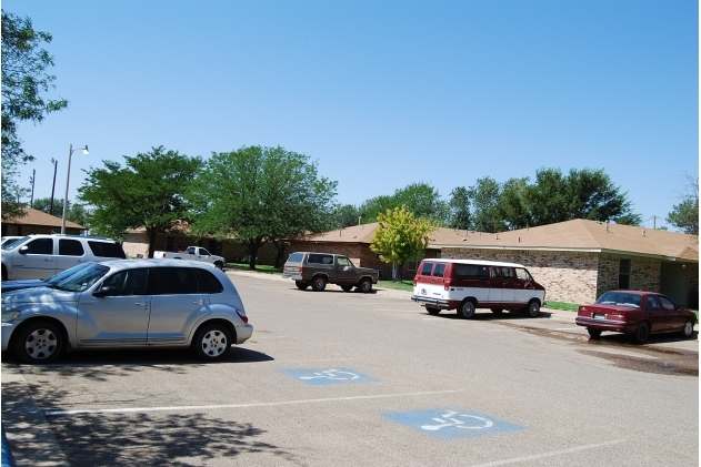
College Heights
934 E 14th St,
Littlefield,
TX
79339
2 Weeks Ago
Favorites
College Heights
Favorites
Highlights
- Grill
- Property Manager on Site
About College Heights
At College Heights in Littlefield, experience stylish living. The community staff is ready to match you with the perfect apartment. Make a visit to check out the apartment floorplan options. A variety of features and amenities are available here. Some of these include: tile floors, high-speed internet access, and convenient on-site parking options. Drop by the leasing office to talk about leasing your new apartment.
College Heights is an apartment community located in Lamb County and the 79339 ZIP Code. This area is served by the Littlefield Independent School District attendance zone.
Community Amenities
- Property Manager on Site
- Grill
Apartment Features
Air Conditioning
Washer/Dryer Hookup
High Speed Internet Access
Tile Floors
- High Speed Internet Access
- Washer/Dryer Hookup
- Air Conditioning
- Smoke Free
- Cable Ready
- Security System
- Carpet
- Tile Floors
934 E 14th St,
Littlefield,
TX
79339
Education
| Colleges & Universities | Distance | ||
|---|---|---|---|
| Colleges & Universities | Distance | ||
| Drive: | 37 min | 24.2 mi | |
| Drive: | 45 min | 33.5 mi | |
| Drive: | 43 min | 36.1 mi | |
| Drive: | 46 min | 36.2 mi |
College Heights is within 37 minutes or 24.2 miles from South Plains Coll., Levelland. It is also near South Plains College, Reese and Texas Tech University.
Schools


Public Elementary School
Grades K-5
263 Students
Attendance Zone
Public Elementary School
Grades PK-5
301 Students
Attendance Zone
Public Middle School
Grades 6-8
275 Students
Attendance Zone
Public High School
Grades 9-12
364 Students
Attendance Zone
Private Elementary School
Grades K-5
10 Students
Nearby
School data provided by
 The GreatSchools Rating helps parents compare schools within a state based on a variety of school quality indicators and provides a helpful picture of how effectively each school serves all of its students. Ratings are on a scale of 1 (below average) to 10 (above average) and can include test scores, college readiness, academic progress, advanced courses, equity, discipline and attendance data. We also advise parents to visit schools, consider other information on school performance and programs, and consider family needs as part of the school selection process.
View GreatSchools Rating Methodology
Data provided by GreatSchools.org © 2026. All rights reserved.
View GreatSchools Rating Methodology
Data provided by GreatSchools.org © 2026. All rights reserved.
Walkability Near College Heights
Getting Around
 What do Walkability, Transit, Drivability, and Bikeability mean?
Walkability measures the walking distance to day-to-day needs.
Transit measures access to public transportation.
Drivability measures congestion, parking availability, and access to major roads.
Bikeability measures the suitability for cycling.
How It Works
What do Walkability, Transit, Drivability, and Bikeability mean?
Walkability measures the walking distance to day-to-day needs.
Transit measures access to public transportation.
Drivability measures congestion, parking availability, and access to major roads.
Bikeability measures the suitability for cycling.
How It Works
Somewhat Walkable
Walkability
30
/ 100
Exceptionally Drivable
Drivability
100
/ 100
Somewhat Bikeable
Bikeability
30
/ 100
Scores provided by
-
Soundscore™
-
/ 100
Traffic
-Airport
-Businesses
-Scores provided by
HowLoud What is a Sound Score Rating? A Sound Score Rating aggregates noise caused by vehicle traffic, airplane traffic and local sources. How It WorksExplore Similar Rentals Nearby
-
-

-

-

-

-
 Apartment for Rent3 Beds | 2 Baths | 1,485 sq ft
 -

-

-

-

What Are Walk Score®, Transit Score®, and Bike Score® Ratings?
Walk Score® measures the walkability of any address. Transit Score® measures access to public transit. Bike Score® measures the bikeability of any address.
What is a Sound Score Rating?
A Sound Score Rating aggregates noise caused by vehicle traffic, airplane traffic and local sources.
934 E 14th St
Littlefield, TX 79339