
Chaparral Apartments
38441 5th St W,
Palmdale, CA 93551
$1,599 - $2,319
Studio - 2 Beds

Bedrooms
1 - 2 bd
Bathrooms
1 ba
Square Feet
773 - 930 sq ft
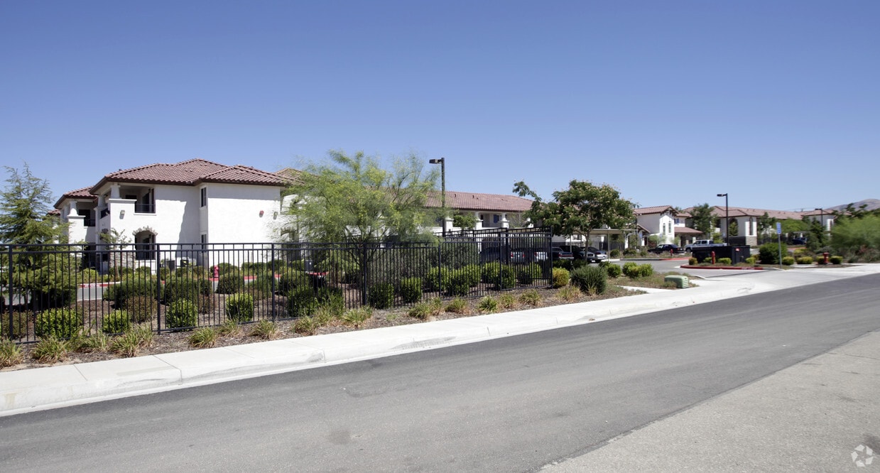
Welcome Home to Cielo Azul!
Welcome Home to Cielo Azul!
Cielo Azul is an apartment community located in Los Angeles County and the 93550 ZIP Code. This area is served by the Palmdale Elementary School District attendance zone.
Unique Features
Laundry Facilities
Clubhouse
Business Center
Picnic Area
Air Conditioning
Washer/Dryer Hookup
High Speed Internet Access
Hardwood Floors
The Antelope Valley region sits in the northernmost stretches of Los Angeles County. Antelope Valley also constitutes the western portion of the Mojave Desert, located between the Tehachapi, Sierra Pelona, and San Gabriel Mountains, which all lend stunning mountain vistas to the rentals in the region.
Antelope Valley’s largest cities include Lancaster and Palmdale, in addition to a slew of smaller cities and towns that each boast their own unique identity and sense of character. The region’s more affordable cost of living draws plenty of Los Angeles area commuters who don’t mind a longer commute time.
The rental options are just as diverse as the region itself, with an array of apartments, condos, townhomes, and houses available for rent throughout Antelope Valley. Popular spots for outdoor recreation include Angeles National Forest and Castaic Lake State Recreation Area, as well as Greater Los Angeles’ renowned beaches, which are about a two-hour drive away.
Learn more about living in Antelope ValleyCompare neighborhood and city base rent averages by bedroom.
| Antelope Valley | Palmdale, CA | |
|---|---|---|
| Studio | $1,327 | $1,490 |
| 1 Bedroom | $1,579 | $1,439 |
| 2 Bedrooms | $1,798 | $1,669 |
| 3 Bedrooms | $2,625 | $2,081 |
| Colleges & Universities | Distance | ||
|---|---|---|---|
| Colleges & Universities | Distance | ||
| Drive: | 20 min | 13.0 mi | |
| Drive: | 50 min | 41.7 mi | |
| Drive: | 72 min | 43.9 mi | |
| Drive: | 59 min | 49.0 mi |


Scores provided by
Traffic
ActiveAirport
CalmBusinesses
CalmScores provided by
HowLoud What is a Sound Score Rating? A Sound Score Rating aggregates noise caused by vehicle traffic, airplane traffic and local sources. How It WorksPets Allowed Fitness Center Pool Dishwasher In Unit Washer & Dryer Clubhouse
Pets Allowed Fitness Center Pool Walk-In Closets CableReady Stainless Steel Appliances Yard
What Are Walk Score®, Transit Score®, and Bike Score® Ratings?
Walk Score® measures the walkability of any address. Transit Score® measures access to public transit. Bike Score® measures the bikeability of any address.
What is a Sound Score Rating?
A Sound Score Rating aggregates noise caused by vehicle traffic, airplane traffic and local sources.
38040 27th St E
Palmdale, CA 93550


