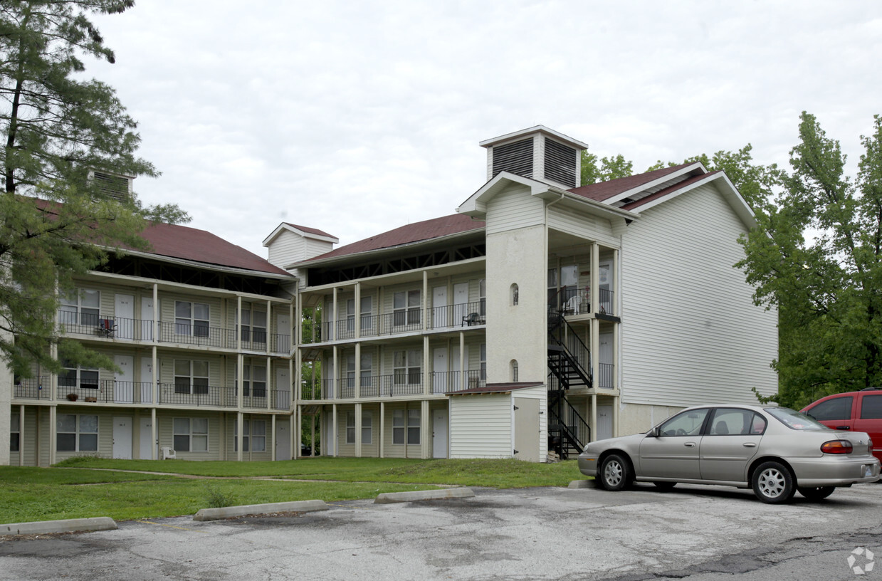
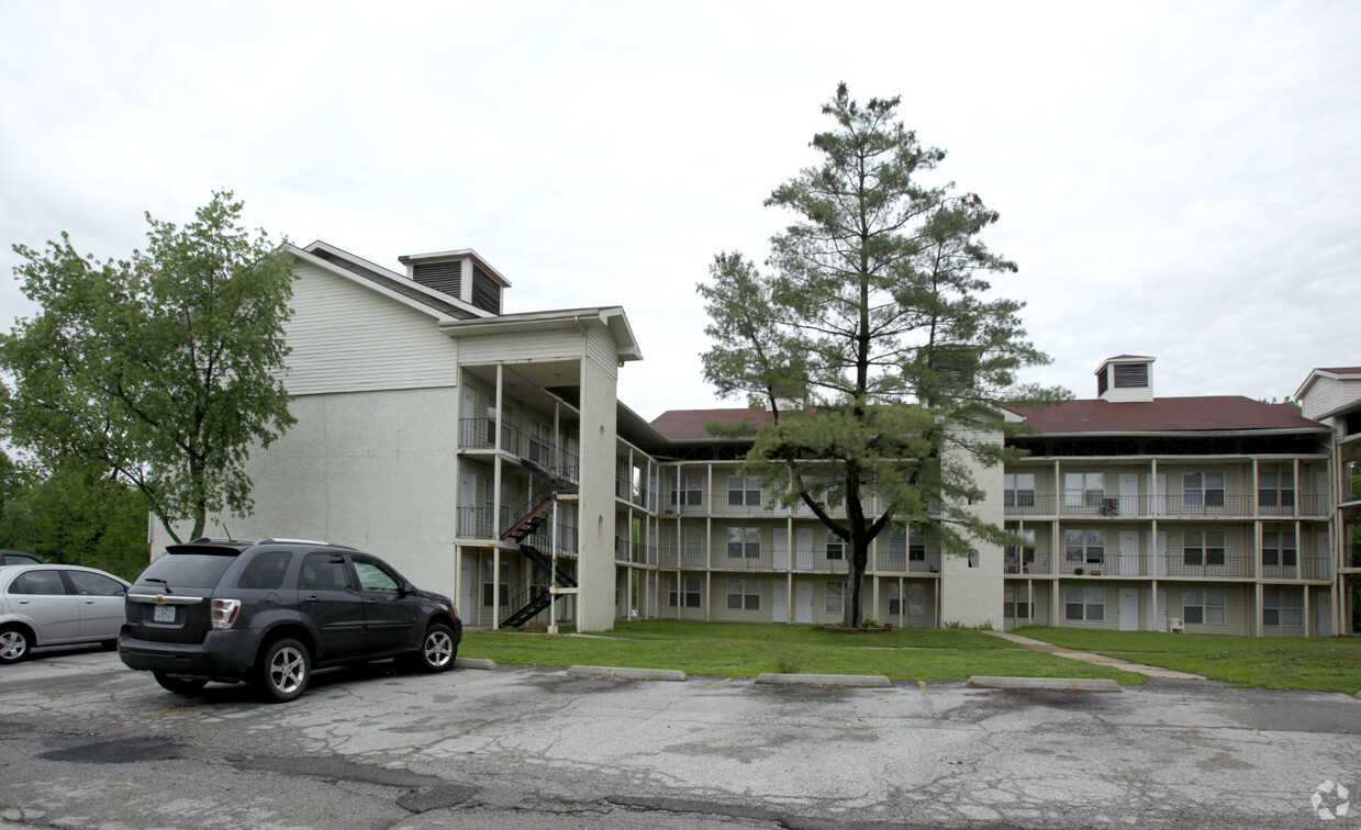
Cheryl Lane

54 Cheryl Ln, Valley Park, MO 63088

Verified Listing CoStar Verified® Listing

This Listing has been verified by CoStar’s listing verification process, which combines internal screening and fraud detection technology. Always beware of scams.

Today
Share Listing
Favorites
  • Bedrooms

    1 bd

  • Bathrooms

    1 ba

  • Square Feet

    600 sq ft

Cheryl Lane
Share Listing
Favorites

Cheryl Lane is an apartment community located in St. Louis County and the 63088 ZIP Code. This area is served by the Valley Park School District attendance zone.

Unique Features

  • 24 Hour Emergency Maintenance
  • All Electric Unit
  • Cable TV and High Speed Internet Available
  • Concrecte Construction-More Quiet Living
  • Dehumidifier
  • Energy Efficient Windows
  • New Cabinets
  • New Countertops
  • New Flooring
  • On Site Laundry
  • Valley Park School District

Apartment Features

Air Conditioning

Microwave

Refrigerator

Range

  • Air Conditioning
  • Microwave
  • Range
  • Refrigerator
Location
54 Cheryl Ln, Valley Park,
MO 63088
Get Directions
City - Valley Park

Tucked along the Meramec River about 20 miles southwest of St. Louis, Valley Park is a small Missouri city where industrial roots and open green space share the same zip code. Incorporated around 1890, the city developed as a railroad hub and has since settled into a quieter rhythm, though its location off Interstate 44 keeps it well-connected to the broader metro. The National Museum of Transportation, an iconic regional attraction highlighting aviation, railroad, and automobile history, sits within the city and draws visitors from across the area.

Housing in Valley Park runs the range from single-story rentals and modest townhomes to apartment communities suited for those who want easy access to St. Louis without the city's price tag. The rental market stays noticeably more affordable than nearby urban neighborhoods, and one- and two-bedroom floor plans make up most of what's available.

Learn more about living in Valley Park 
Average Prices by Area

Compare neighborhood and city base rent averages by bedroom.

Peerless Park Valley Park, MO
1 Bedroom $843 $1,341
2 Bedrooms $1,745 $1,616
3 Bedrooms - $1,702
Education
Colleges & Universities Distance
Drive: 14 min 5.6 mi
Drive: 15 min 7.1 mi
Drive: 14 min 7.7 mi
Drive: 18 min 9.6 mi
Cheryl Lane is within 14 minutes or 5.6 miles from Saint Louis C.C., Meramec. It is also near Logan University and Maryville Univ. Saint Louis.
Schools
Public Elementary School
Grades PK-5
401 Students
Attendance Zone
Public Middle School
Grades 6-8
157 Students
Attendance Zone
Public High School
Grades 9-12
245 Students
Attendance Zone
Private Elementary & Middle School
Grades PK-8
126 Students
Nearby
Private Elementary & Middle School
Grades PK-8
255 Students
Nearby
Transportation

Cheryl Lane is near St Louis Lambert International, located 22.7 miles or 34 minutes away.

Commuter Rail Distance
Drive: 15 min 8.8 mi
Drive: 19 min 12.9 mi
Drive: 19 min 13.3 mi
Drive: 20 min 13.7 mi
Drive: 22 min 14.9 mi
Airports Distance
Airports Distance
St Louis Lambert International
Drive: 34 min 22.7 mi
Getting Around
Somewhat Walkable
Walkability
30 / 100
Minimal Public Transit
Transit
0 / 100
Exceptionally Drivable
Drivability
100 / 100
Fairly Bikeable
Bikeability
40 / 100

Scores provided by

What do Walkability, Transit, Drivability, and Bikeability mean? Walkability measures the walking distance to day-to-day needs. Transit measures access to public transportation. Drivability measures congestion, parking availability, and access to major roads. Bikeability measures the suitability for cycling. How It Works
-
Soundscore
- / 100

Traffic

-

Airport

-

Businesses

-

Scores provided by

HowLoud What is a Sound Score Rating? A Sound Score Rating aggregates noise caused by vehicle traffic, airplane traffic and local sources. How It Works
Points of Interest

Time and distance from Cheryl Lane.

Shopping Centers Distance
Walk: 20 min 1.1 mi
Drive: 3 min 1.3 mi
Drive: 4 min 1.4 mi
Cheryl Lane has 3 shopping centers within 1.4 miles, which is about a 4-minute drive. The miles and minutes will be for the farthest away property.
Parks and Recreation Distance
World Bird Sanctuary
Drive: 10 min 4.4 mi
Castlewood State Park
Drive: 14 min 5.1 mi
Lone Elk County Park
Drive: 15 min 5.1 mi
Powder Valley Conservation Nature Center
Drive: 13 min 7.6 mi
Emmenegger Nature Park / Possum Woods
Drive: 15 min 8.3 mi
Cheryl Lane has 5 parks within 8.3 miles, including World Bird Sanctuary, Castlewood State Park, and Lone Elk County Park.
Hospitals Distance
Hospitals Distance
Drive: 7 min 4.0 mi
Drive: 8 min 4.0 mi
Drive: 12 min 7.4 mi
Cheryl Lane has 3 hospitals within 7.4 miles, the nearest is SSM St. Clare Health Center which is 4.0 miles away and a 7 minute drive.
Military Bases Distance
Drive: 40 min 27.6 mi
Drive: 67 min 45.9 mi
Cheryl Lane is 27.6 miles from Price Support Center, and is convenient to other military bases, including Scott Air Force Base.

Explore Similar Rentals Nearby