
110 South Sweetzer Ave
110 S Sweetzer Ave,
Los Angeles, CA 90048
$2,148 - $2,798
1-2 Beds

Bedrooms
2 bd
Bathrooms
2 ba
Square Feet
--

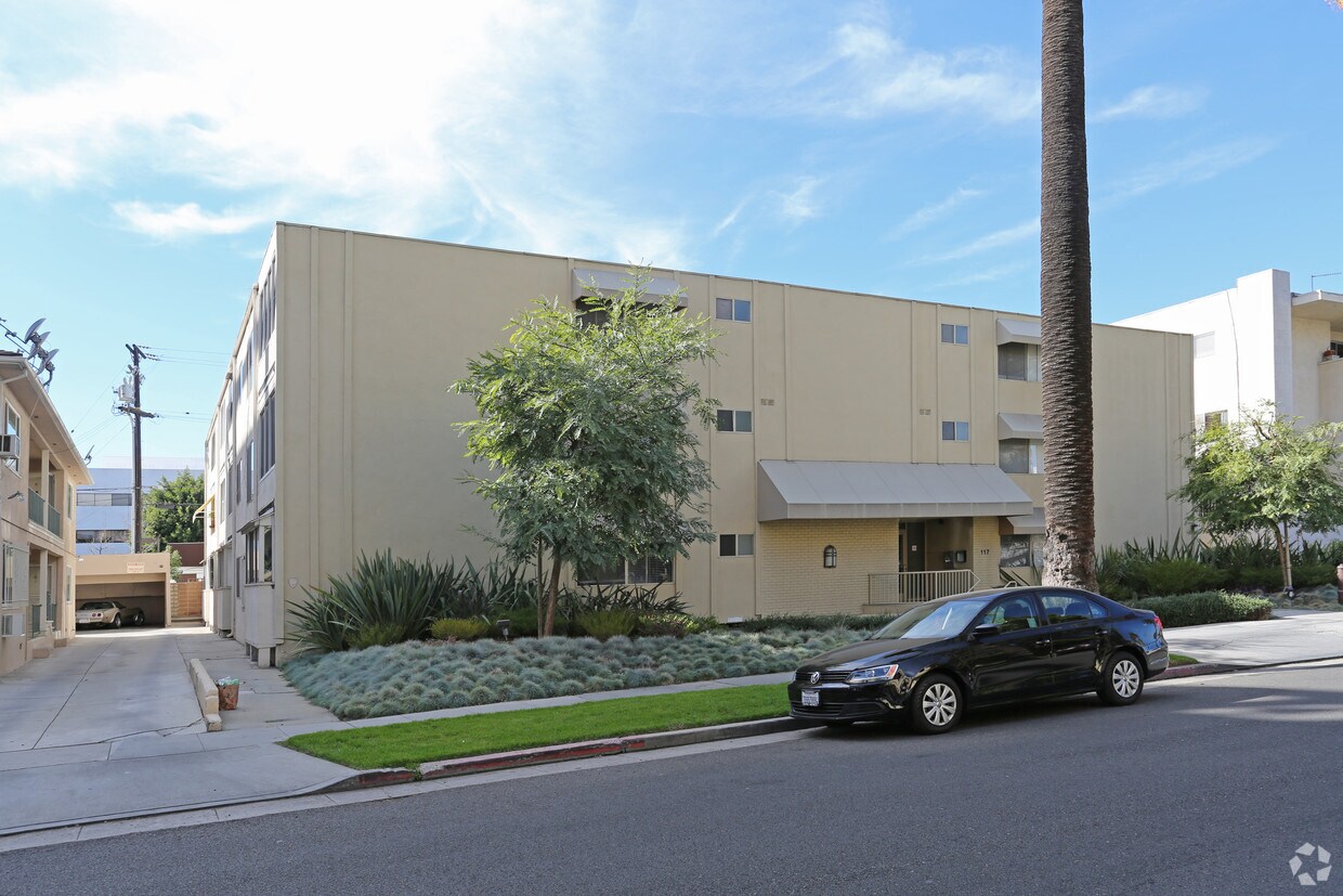
Find your new apartment at 117 N Hamilton Dr. You'll find this community in the 90211 area of Beverly Hills. The professional leasing staff is eager for you to come see our property. Stop by the leasing office to talk about renting your new apartment.
Find your new apartment at 117 N Hamilton Dr. You'll find this community in the 90211 area of Beverly Hills. The professional leasing staff is eager for you to come see our property. Stop by the leasing office to talk about renting your new apartment.
BHH is an apartment community located in Los Angeles County and the 90211 ZIP Code. This area is served by the Beverly Hills Unified attendance zone.
Beverly Hills, spanning just 5.71 square miles, combines elegant residential areas with world-class shopping and dining. Tree-lined streets and well-maintained green spaces like Beverly Gardens Park along Santa Monica Boulevard create an inviting atmosphere. The Golden Triangle shopping district, home to the renowned Rodeo Drive, offers high-end retail experiences. Housing options range from estates in Trousdale Estates to apartments south of Wilshire Boulevard, where one-bedroom apartments currently average $2,728 with a 1.1% increase year-over-year.
The city celebrates arts and culture through venues like the Wallis Annenberg Center for the Performing Arts and the historic Greystone Mansion. Landmarks such as the Beverly Hills Hotel and Beverly Wilshire Hotel contribute to the area's distinctive character. Notable areas include the residential streets north of Santa Monica Boulevard and the South Beverly Drive district, with its local shops and eateries.
Learn more about living in Beverly Hills| Colleges & Universities | Distance | ||
|---|---|---|---|
| Colleges & Universities | Distance | ||
| Drive: | 9 min | 4.8 mi | |
| Drive: | 11 min | 5.0 mi | |
| Drive: | 10 min | 5.2 mi | |
| Drive: | 13 min | 5.7 mi |


Transportation options available in Beverly Hills include Culver City, located 3.1 miles from BHH. BHH is near Los Angeles International, located 10.3 miles or 20 minutes away, and Bob Hope, located 13.2 miles or 25 minutes away.
| Transit / Subway | Distance | ||
|---|---|---|---|
| Transit / Subway | Distance | ||
|
|
Drive: | 7 min | 3.1 mi |
|
|
Drive: | 6 min | 3.2 mi |
|
|
Drive: | 7 min | 3.8 mi |
|
|
Drive: | 7 min | 4.0 mi |
|
|
Drive: | 9 min | 4.7 mi |
| Commuter Rail | Distance | ||
|---|---|---|---|
| Commuter Rail | Distance | ||
|
|
Drive: | 17 min | 9.9 mi |
|
|
Drive: | 19 min | 10.1 mi |
|
|
Drive: | 19 min | 10.9 mi |
|
|
Drive: | 22 min | 11.1 mi |
|
|
Drive: | 23 min | 12.0 mi |
| Airports | Distance | ||
|---|---|---|---|
| Airports | Distance | ||
|
Los Angeles International
|
Drive: | 20 min | 10.3 mi |
|
Bob Hope
|
Drive: | 25 min | 13.2 mi |
Time and distance from BHH.
| Shopping Centers | Distance | ||
|---|---|---|---|
| Shopping Centers | Distance | ||
| Walk: | 4 min | 0.3 mi | |
| Walk: | 10 min | 0.5 mi | |
| Walk: | 11 min | 0.6 mi |
| Parks and Recreation | Distance | ||
|---|---|---|---|
| Parks and Recreation | Distance | ||
|
Zimmer Children's Museum
|
Walk: | 6 min | 0.4 mi |
|
La Brea Tar Pits
|
Drive: | 2 min | 1.3 mi |
|
Virginia Robinson Gardens
|
Drive: | 8 min | 3.3 mi |
|
Runyon Canyon
|
Drive: | 10 min | 4.3 mi |
|
Mathias Botanical Garden
|
Drive: | 9 min | 4.5 mi |
| Hospitals | Distance | ||
|---|---|---|---|
| Hospitals | Distance | ||
| Walk: | 15 min | 0.8 mi | |
| Walk: | 19 min | 1.0 mi | |
| Drive: | 2 min | 1.2 mi |
| Military Bases | Distance | ||
|---|---|---|---|
| Military Bases | Distance | ||
| Drive: | 20 min | 11.9 mi |
What Are Walk Score®, Transit Score®, and Bike Score® Ratings?
Walk Score® measures the walkability of any address. Transit Score® measures access to public transit. Bike Score® measures the bikeability of any address.
What is a Sound Score Rating?
A Sound Score Rating aggregates noise caused by vehicle traffic, airplane traffic and local sources
117 N Hamilton Dr
Beverly Hills, CA 90211


