
Montecillo Living
150 W Castellano Dr,
El Paso, TX 79912
$1,300 - $3,125
Studio - 3 Beds
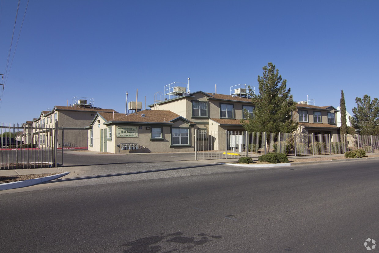
We know how important it is to come home to a welcoming atmosphere. Arrowhead Place combines comfort and convenience at a fantastic value, offering many in-home and community amenities coupled with a great location. Plus, you'll love the high level of customer service provided by our dedicated team members.We hope you will make Arrowhead Place your new home by giving us a call and scheduling a tour today!
Arrowhead Place is an apartment community located in El Paso County and the 79924 ZIP Code. This area is served by the El Paso Independent School District attendance zone.
Unique Features
24 Hour Access
Property Manager on Site
Maintenance on site
Public Transportation
Air Conditioning
Dishwasher
Refrigerator
Disposal
El Paso sits where West Texas, New Mexico, and the Mexican state of Chihuahua converge, giving the city a cross-border identity that shapes everything from its architecture to its daily rhythm. With the Franklin Mountains rising inside city limits and the Rio Grande forming its southern edge, the geography alone sets it apart from anywhere else in Texas. Fort Bliss, one of the largest U.S. Army installations in the country, and the University of Texas at El Paso are two of the city's most significant economic and institutional anchors. The Chamizal National Memorial marks the site of a peacefully resolved international border dispute, a piece of history few American cities can claim.
Neighborhoods range widely in character. Manhattan Heights offers historic homes close to downtown, while Northeast El Paso spreads out with newer residential development near Fort Bliss. Kern Place, adjacent to UTEP's campus, has an established, walkable feel.
Learn more about living in El PasoCompare neighborhood and city base rent averages by bedroom.
| Veteran's Park | El Paso, TX | |
|---|---|---|
| Studio | - | $769 |
| 1 Bedroom | $473 | $976 |
| 2 Bedrooms | - | $1,142 |
| 3 Bedrooms | - | $1,410 |
| Colleges & Universities | Distance | ||
|---|---|---|---|
| Colleges & Universities | Distance | ||
| Drive: | 8 min | 3.3 mi | |
| Drive: | 22 min | 13.8 mi | |
| Drive: | 23 min | 14.3 mi | |
| Drive: | 24 min | 14.8 mi |


Scores provided by
Traffic
-Airport
-Businesses
-Scores provided by
HowLoud What is a Sound Score Rating? A Sound Score Rating aggregates noise caused by vehicle traffic, airplane traffic and local sources. How It WorksPets Allowed Pool Dishwasher Range CableReady Heat
What Are Walk Score®, Transit Score®, and Bike Score® Ratings?
Walk Score® measures the walkability of any address. Transit Score® measures access to public transit. Bike Score® measures the bikeability of any address.
What is a Sound Score Rating?
A Sound Score Rating aggregates noise caused by vehicle traffic, airplane traffic and local sources.

5051 Trojan Dr
El Paso, TX 79924


