
Ageno Apartments
1001-1097 Westwind St,
Livermore, CA 94550
$2,520 - $3,564
1-3 Beds
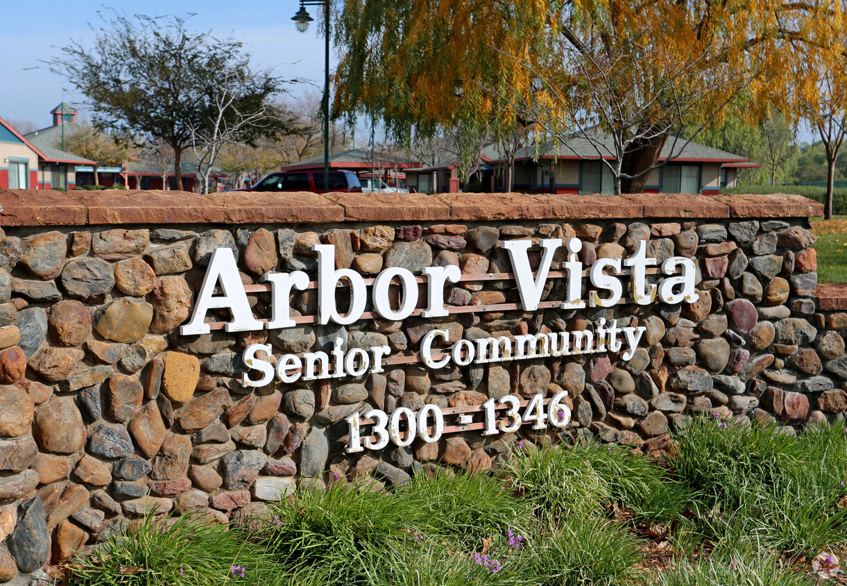
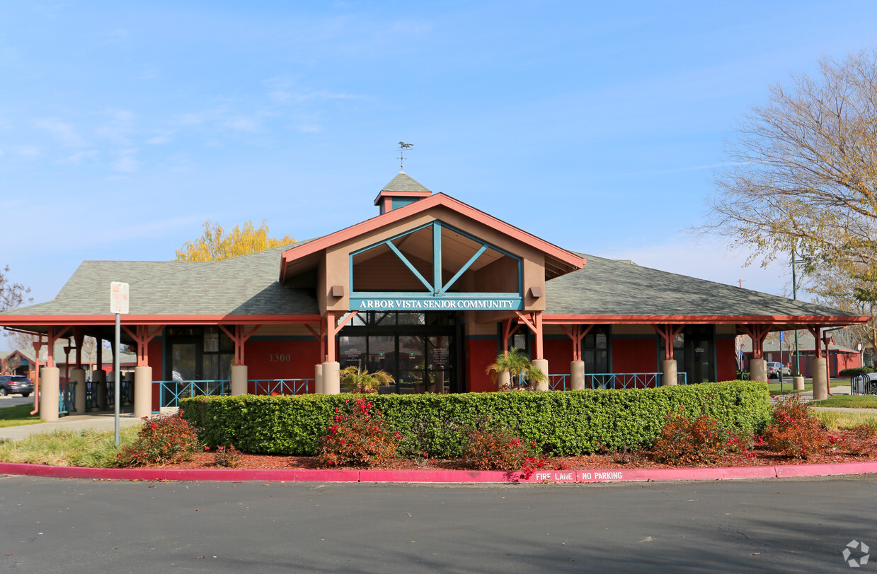
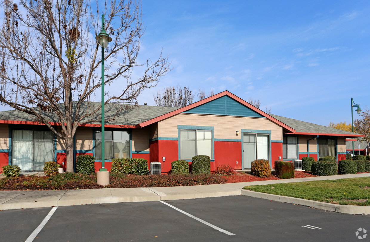
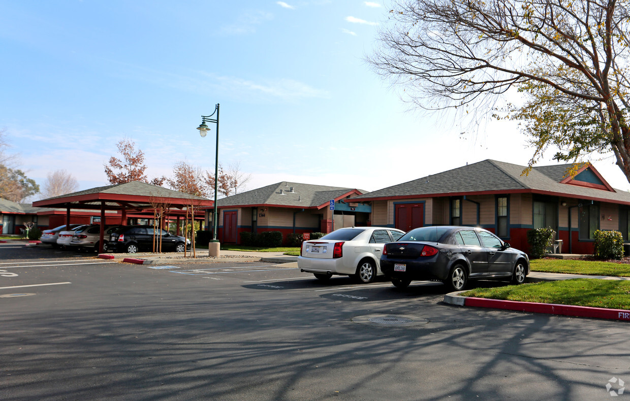
Explore Arbor Vista in Livermore. The 94550 location in Livermore is an ideal place for residents. Come for a visit to view the available floorplans. The leasing staff is waiting to show you all that this community has to offer. Drop by Arbor Vista today.
Arbor Vista is an apartment community located in Alameda County and the 94550 ZIP Code. This area is served by the Livermore Valley Joint Unified attendance zone.
The cities of Livermore, Dublin and Pleasanton form a loosely shaped triangle within California's Tri-Valley region, a cluster of three small valleys about 33 miles east of San Francisco and 35 miles northeast of San Jose. Known for its Mediterranean climate, rolling hills and historic vineyards, this once bucolic region now boasts three separate downtown areas, a bustling business community and some of the best wineries in the state.
At the eastern end of the region lies the city of Livermore. Once known as Livermores, Livermore Ranch and Nottingham, the city sits at the center of Livermore Valley, a historic region dotted with more than 5,000 acres of mostly family-owned vineyards. A pastoral neighborhood known for its charming yet functional hilltop windmills, Livermore hosts the internationally recognized and sometimes controversial center of scientific research, Lawrence Livermore National Laboratories.
Learn more about living in Dublin/Pleasanton/Livermore| Colleges & Universities | Distance | ||
|---|---|---|---|
| Colleges & Universities | Distance | ||
| Drive: | 11 min | 5.2 mi | |
| Drive: | 22 min | 13.8 mi | |
| Drive: | 23 min | 14.8 mi | |
| Drive: | 26 min | 16.2 mi |


Transportation options available in Livermore include Dublin Pleasanton Station, located 10.6 miles from Arbor Vista. Arbor Vista is near Metro Oakland International, located 29.4 miles or 38 minutes away, and Norman Y Mineta San Jose International, located 31.1 miles or 43 minutes away.
| Transit / Subway | Distance | ||
|---|---|---|---|
| Transit / Subway | Distance | ||
|
|
Drive: | 15 min | 10.6 mi |
|
|
Drive: | 15 min | 11.0 mi |
| Commuter Rail | Distance | ||
|---|---|---|---|
| Commuter Rail | Distance | ||
| Drive: | 3 min | 1.4 mi | |
| Drive: | 4 min | 1.5 mi | |
| Drive: | 8 min | 4.3 mi | |
| Drive: | 16 min | 8.2 mi | |
| Drive: | 16 min | 8.2 mi |
| Airports | Distance | ||
|---|---|---|---|
| Airports | Distance | ||
|
Metro Oakland International
|
Drive: | 38 min | 29.4 mi |
|
Norman Y Mineta San Jose International
|
Drive: | 43 min | 31.1 mi |
Time and distance from Arbor Vista.
| Shopping Centers | Distance | ||
|---|---|---|---|
| Shopping Centers | Distance | ||
| Walk: | 10 min | 0.5 mi | |
| Drive: | 3 min | 1.4 mi | |
| Drive: | 4 min | 1.6 mi |
| Parks and Recreation | Distance | ||
|---|---|---|---|
| Parks and Recreation | Distance | ||
|
Shadow Cliffs Regional Recreation Area
|
Drive: | 12 min | 5.8 mi |
|
Del Valle Regional Park
|
Drive: | 22 min | 7.3 mi |
|
Brushy Peak Regional Preserve
|
Drive: | 16 min | 7.5 mi |
|
Los Vaqueros Watershed
|
Drive: | 17 min | 9.0 mi |
|
Carnegie State Vehicle Recreation Area
|
Drive: | 18 min | 10.6 mi |
| Hospitals | Distance | ||
|---|---|---|---|
| Hospitals | Distance | ||
| Drive: | 14 min | 8.8 mi |
What Are Walk Score®, Transit Score®, and Bike Score® Ratings?
Walk Score® measures the walkability of any address. Transit Score® measures access to public transit. Bike Score® measures the bikeability of any address.
What is a Sound Score Rating?
A Sound Score Rating aggregates noise caused by vehicle traffic, airplane traffic and local sources

1300-1346 S Livermore Ave
Livermore, CA 94550


