
Creekside Apartments
5265 E 126th St,
Cleveland, OH 44125
$875 - $1,095
1-3 Beds
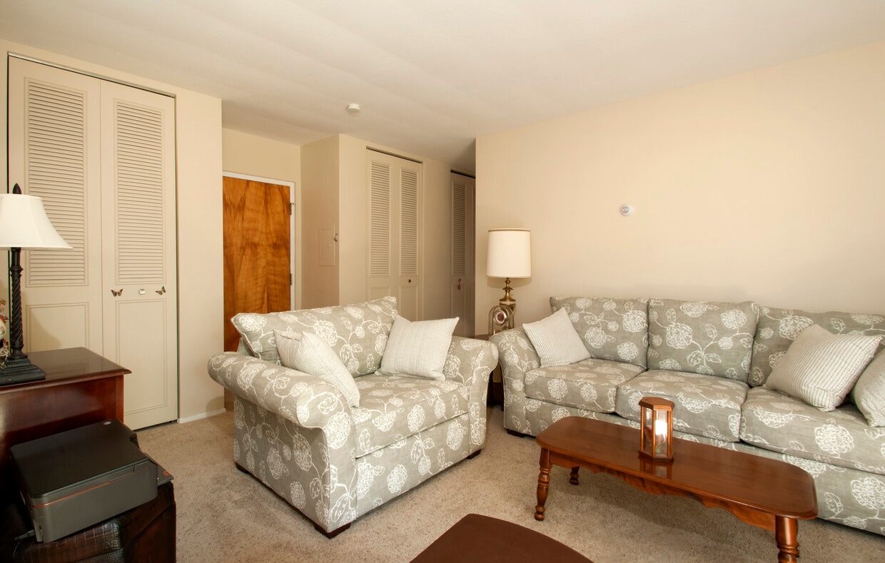
Welcome to Andover Arms Apartments, a market rate property conveniently located in Garfield Heights across the street from Marymount, a Cleveland Clinic hospital. Residents pay for electric and cable! Heat, water, sewer, and trash are included in the rent. We offer spacious one and two-bedroom suites, some two-bedrooms have balconies. Ask about our hospital employee discount!
Andover Arms Apartments is an apartment community located in Cuyahoga County and the 44125 ZIP Code. This area is served by the Garfield Heights City Schools attendance zone.
Air Conditioning
High Speed Internet Access
Refrigerator
Tub/Shower
Located just ten miles south of Cleveland, Garfield Heights offers residents the best of suburban living on the outskirts of a big city. Convenience to multiple freeways makes commuting from Garfield Heights a breeze. Access to Garfield Park Reservation, Bacci Park, and the Cuyahoga River offers a host of opportunities for outdoor recreation near Garfield Heights at any moment.
Garfield Heights is also close to numerous golf courses in addition to major attractions like the Cleveland Metroparks Zoo and Cuyahoga Valley National Park. The commercial corridor in Garfield Heights stretches along Turney Road, with a variety of retailers, shops, and restaurants. Garfield Heights residents can also venture into Downtown Cleveland to catch a sporting event at Quicken Loans Arena or Progressive Field, peruse Tower City Center, and purchase fresh meat and produce at the West Side Market.
Learn more about living in Garfield Heights| Colleges & Universities | Distance | ||
|---|---|---|---|
| Colleges & Universities | Distance | ||
| Drive: | 15 min | 6.9 mi | |
| Drive: | 14 min | 7.7 mi | |
| Drive: | 17 min | 7.9 mi | |
| Drive: | 19 min | 9.5 mi |


Transportation options available in Garfield Heights include Lee (Blue Line), located 4.8 miles from Andover Arms Apartments. Andover Arms Apartments is near Cleveland-Hopkins International, located 15.2 miles or 25 minutes away.
| Transit / Subway | Distance | ||
|---|---|---|---|
| Transit / Subway | Distance | ||
|
|
Drive: | 12 min | 4.8 mi |
|
|
Drive: | 12 min | 5.1 mi |
|
|
Drive: | 13 min | 5.2 mi |
|
|
Drive: | 13 min | 5.5 mi |
|
|
Drive: | 14 min | 6.5 mi |
| Commuter Rail | Distance | ||
|---|---|---|---|
| Commuter Rail | Distance | ||
| Drive: | 9 min | 3.9 mi | |
| Drive: | 11 min | 4.6 mi | |
|
|
Drive: | 22 min | 11.4 mi |
| Drive: | 22 min | 11.8 mi | |
|
Boston Mill
|
Drive: | 31 min | 18.0 mi |
| Airports | Distance | ||
|---|---|---|---|
| Airports | Distance | ||
|
Cleveland-Hopkins International
|
Drive: | 25 min | 15.2 mi |
Time and distance from Andover Arms Apartments.
| Shopping Centers | Distance | ||
|---|---|---|---|
| Shopping Centers | Distance | ||
| Walk: | 17 min | 0.9 mi | |
| Drive: | 4 min | 1.8 mi | |
| Drive: | 5 min | 2.0 mi |
| Parks and Recreation | Distance | ||
|---|---|---|---|
| Parks and Recreation | Distance | ||
|
Garfield Park Nature Center
|
Drive: | 3 min | 1.1 mi |
|
CanalWay Center
|
Drive: | 12 min | 5.1 mi |
|
Ohio & Erie Canal Reservation
|
Drive: | 9 min | 5.3 mi |
|
Bedford Reservation
|
Drive: | 14 min | 5.8 mi |
|
Nature Center at Shaker Lakes
|
Drive: | 15 min | 6.2 mi |
| Hospitals | Distance | ||
|---|---|---|---|
| Hospitals | Distance | ||
| Walk: | 2 min | 0.1 mi | |
| Drive: | 12 min | 5.4 mi | |
| Drive: | 11 min | 5.7 mi |
| Military Bases | Distance | ||
|---|---|---|---|
| Military Bases | Distance | ||
| Drive: | 97 min | 79.3 mi | |
| Drive: | 107 min | 87.1 mi |
What Are Walk Score®, Transit Score®, and Bike Score® Ratings?
Walk Score® measures the walkability of any address. Transit Score® measures access to public transit. Bike Score® measures the bikeability of any address.
What is a Sound Score Rating?
A Sound Score Rating aggregates noise caused by vehicle traffic, airplane traffic and local sources

12025 McCracken Rd
Garfield Heights, OH 44125


")


