
Terrace Hill
4111 Westcity Ct,
El Paso, TX 79902
$816 - $1,725
Studio - 2 Beds

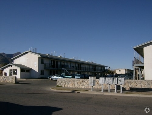
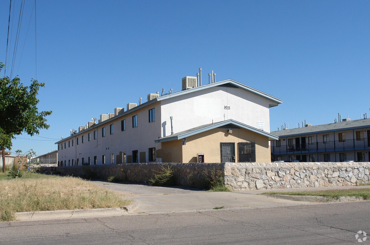

Alto Sol Apartments is an apartment community located in El Paso County and the 79904 ZIP Code. This area is served by the El Paso Independent attendance zone.
Air Conditioning
Heating
Range
Kitchen
Located about nine miles northeast of Downtown El Paso, Angel’s Triangle is a residential reprieve situated at the base of the majestic Franklin Mountains. Angel’s Triangle offers a wide variety of apartments and houses available for rent in a tranquil environment.
Although the neighborhood is largely residential, the community enjoys access to an array of restaurants, markets, and stores clustered on Hondo Pass Drive and Dyer Street. Proximity to Fort Bliss and El Paso International Airport affords many residents short commute and travel times. Nearby Franklin Mountains State Park provides endless opportunities for outdoor recreation, while U.S. Route 54 connects Angel’s Triangle to Downtown El Paso.
Learn more about living in Angel's Triangle| Colleges & Universities | Distance | ||
|---|---|---|---|
| Colleges & Universities | Distance | ||
| Drive: | 4 min | 2.1 mi | |
| Drive: | 14 min | 8.8 mi | |
| Drive: | 17 min | 9.8 mi | |
| Drive: | 19 min | 11.1 mi |


What Are Walk Score®, Transit Score®, and Bike Score® Ratings?
Walk Score® measures the walkability of any address. Transit Score® measures access to public transit. Bike Score® measures the bikeability of any address.
What is a Sound Score Rating?
A Sound Score Rating aggregates noise caused by vehicle traffic, airplane traffic and local sources
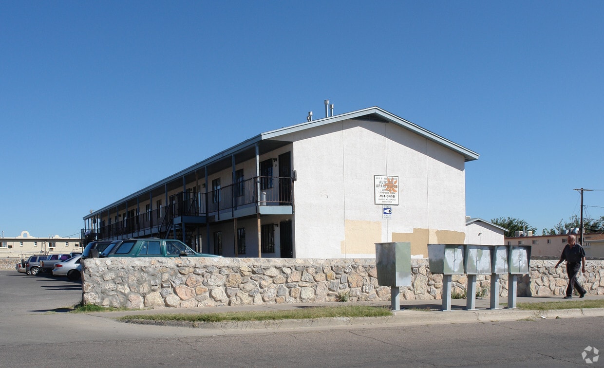
4515 Sunrise Ave
El Paso, TX 79904


