
$650
Total Monthly Price
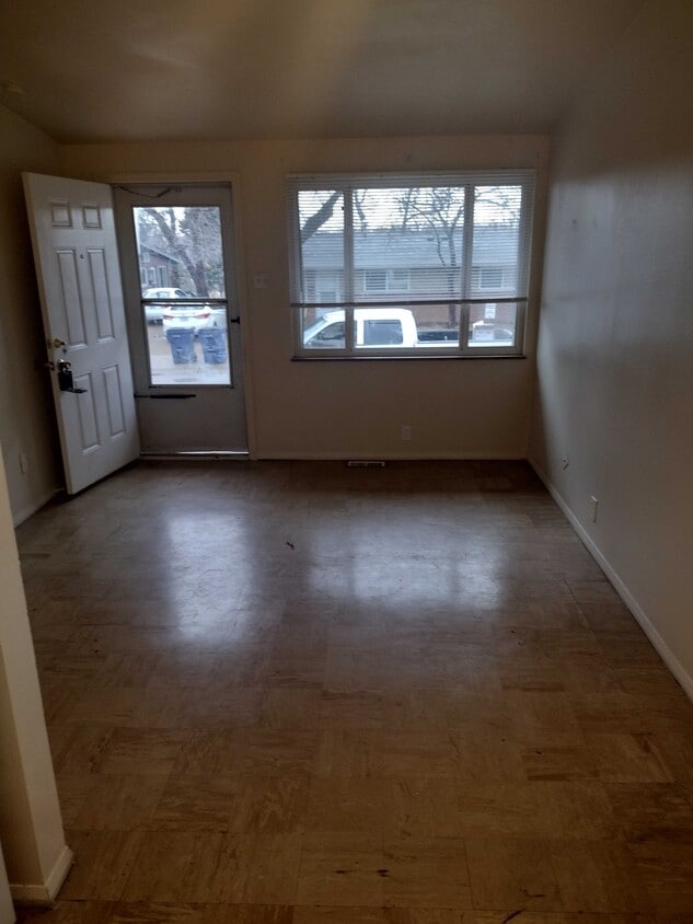
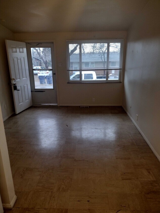
9750 McDowell Pl
Breckenridge Hills, MO 63114
2 Weeks Ago
|
Edit
Favorites
9750 McDowell Pl

Favorites
Check Back Soon for Upcoming Availability
| Beds | Baths | Average SF |
|---|---|---|
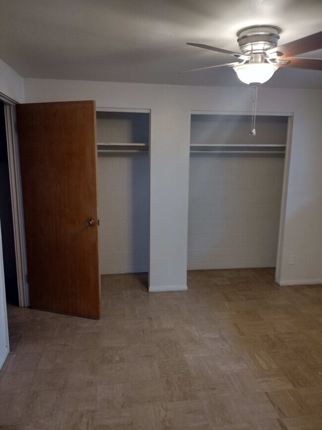
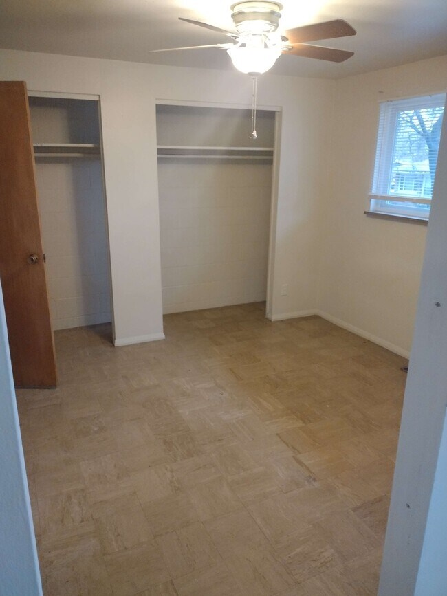
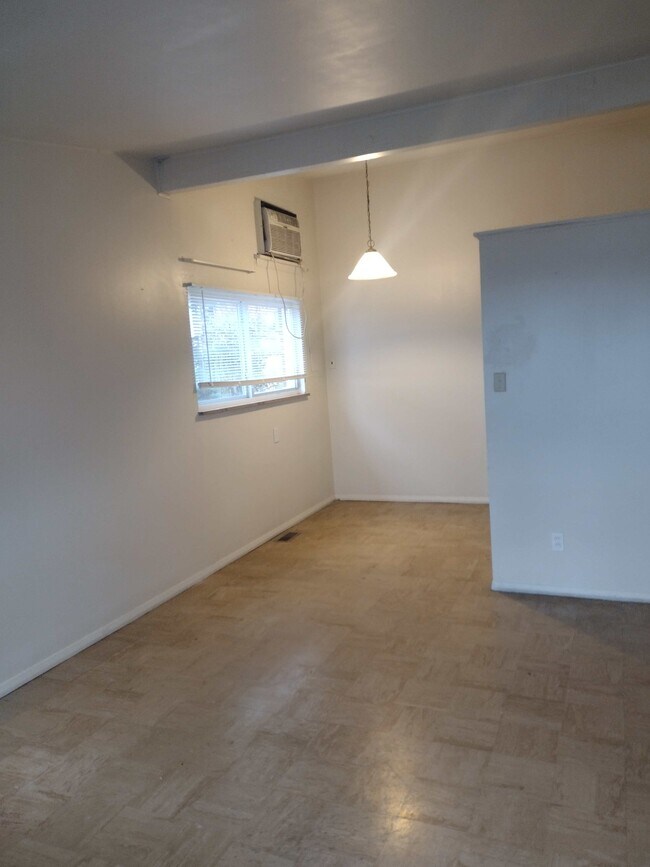
| 1 Bedroom 1 Bedroom 1 Br | 1 Bath 1 Bath 1 Ba | 600 SF |
Fees and Policies
The fees listed below are community-provided and may exclude utilities or add-ons. All payments are made directly to the property and are non-refundable unless otherwise specified.
- Dogs Allowed
-
Fees not specified
- Cats Allowed
-
Fees not specified
- Parking
-
Surface Lot--
Details
Property Information
-
4 units
About This Property
9750 McDowell Pl is an apartment community located in St. Louis County and the 63114 ZIP Code.
Apartment Features
- Washer/Dryer Hookup
- Smoke Free
9750 McDowell Pl,
Breckenridge Hills,
MO
63114
Below are rent ranges for similar nearby apartments
| Beds | Average Size | Lowest | Typical | Premium |
|---|---|---|---|---|
| Studio Studio Studio | 454-471 Sq Ft | $1,650 | $1,821 | $2,290 |
| 1 Bed 1 Bed 1 Bed | 830-836 Sq Ft | $1,790 | $2,692 | $9,322 |
| 2 Beds 2 Beds 2 Beds | 1134-1143 Sq Ft | $2,400 | $3,233 | $9,744 |
| 3 Beds 3 Beds 3 Beds | 2149 Sq Ft | $2,600 | $4,172 | $14,843 |
| 4 Beds 4 Beds 4 Beds | 3359 Sq Ft | $3,500 | $4,105 | $4,800 |
Amenities
- Washer/Dryer Hookup
- Smoke Free
Education
| Colleges & Universities | Distance | ||
|---|---|---|---|
| Colleges & Universities | Distance | ||
| Drive: | 10 min | 5.0 mi | |
| Drive: | 13 min | 6.7 mi | |
| Drive: | 14 min | 7.9 mi | |
| Drive: | 17 min | 10.3 mi |
9750 McDowell Pl is within 10 minutes or 5.0 miles from Univ. of Missouri, St. Louis. It is also near Chamberlain Nursing, St. Louis and Wash. Univ. in St. Louis.
Walkability Near 9750 McDowell Pl Breckenridge Hills, MO 63114
Getting Around
 What do Walkability, Transit, Drivability, and Bikeability mean?
Walkability measures the walking distance to day-to-day needs.
Transit measures access to public transportation.
Drivability measures congestion, parking availability, and access to major roads.
Bikeability measures the suitability for cycling.
How It Works
What do Walkability, Transit, Drivability, and Bikeability mean?
Walkability measures the walking distance to day-to-day needs.
Transit measures access to public transportation.
Drivability measures congestion, parking availability, and access to major roads.
Bikeability measures the suitability for cycling.
How It Works
Fairly Walkable
Walkability
50
/ 100
Limited Public Transit
Transit
30
/ 100
Exceptionally Drivable
Drivability
90
/ 100
Somewhat Bikeable
Bikeability
30
/ 100
Scores provided by
-
Soundscore™
-
/ 100
Traffic
-Airport
-Businesses
-Scores provided by
HowLoud What is a Sound Score Rating? A Sound Score Rating aggregates noise caused by vehicle traffic, airplane traffic and local sources. How It WorksYou May Also Like
Similar Rentals Nearby


What Are Walk Score®, Transit Score®, and Bike Score® Ratings?
Walk Score® measures the walkability of any address. Transit Score® measures access to public transit. Bike Score® measures the bikeability of any address.
What is a Sound Score Rating?
A Sound Score Rating aggregates noise caused by vehicle traffic, airplane traffic and local sources.
9750 McDowell Pl
Breckenridge Hills, MO 63114