91-93 Walnut St

91-93 Walnut St, Lewiston, ME 04240

Share Listing
Favorites
91-93 Walnut St
Share Listing
Favorites

About 91-93 Walnut St Lewiston, ME 04240

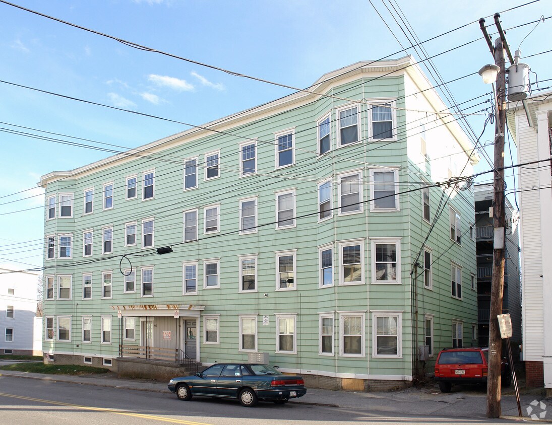
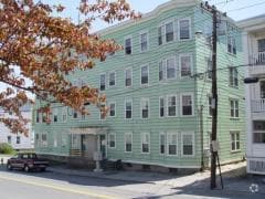
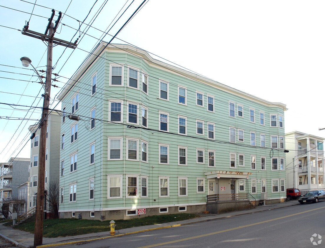
Find your new place at 91-93 Walnut St in Lewiston, ME. This property is situated at 91-93 Walnut St. in Lewiston. The leasing staff is available to help you find the perfect apartment. Stop looking and get moving. Contact or stop by the 91-93 Walnut St leasing office to learn more about our community.

91-93 Walnut St is an apartment community located in Androscoggin County and the 04240 ZIP Code. This area is served by the Lewiston Public Schools attendance zone.

Location
91-93 Walnut St, Lewiston,
ME 04240
Get Directions
Education
Colleges & Universities Distance
Drive: 4 min 1.5 mi
Drive: 31 min 19.7 mi
Drive: 46 min 29.8 mi
Drive: 42 min 34.5 mi
91-93 Walnut St is within 4 minutes or 1.5 miles from Bates College. It is also near Bowdoin College and St. Joseph's College of Maine.
Schools
Grades PK-5
Attendance Zone
Public Middle School
Grades 6-8
Attendance Zone
Public High School
Grades 9-12
Attendance Zone
Private Elementary, Middle & High School
Grades PK-12
Nearby
Transportation

91-93 Walnut St is near Portland International Jetport, located 37.9 miles or 49 minutes away.

Commuter Rail Distance
Drive: 30 min 19.4 mi
Drive: 37 min 19.9 mi
Drive: 48 min 37.5 mi
Airports Distance
Airports Distance
Portland International Jetport
Drive: 49 min 37.9 mi

Walkability Near 91-93 Walnut St Lewiston, ME 04240

Getting Around
Moderately Walkable
Walkability
70 / 100
Fairly Drivable
Drivability
50 / 100
Fairly Bikeable
Bikeability
40 / 100

Scores provided by

What do Walkability, Transit, Drivability, and Bikeability mean? Walkability measures the walking distance to day-to-day needs. Transit measures access to public transportation. Drivability measures congestion, parking availability, and access to major roads. Bikeability measures the suitability for cycling. How It Works
Active
Soundscore
76 / 100

Traffic

Active

Airport

Calm

Businesses

Active

Scores provided by

HowLoud What is a Sound Score Rating? A Sound Score Rating aggregates noise caused by vehicle traffic, airplane traffic and local sources. How It Works
Points of Interest

Time and distance from 91-93 Walnut St.

Shopping Centers Distance
Walk: 20 min 1.1 mi
Drive: 3 min 1.1 mi
Drive: 4 min 1.4 mi
91-93 Walnut St has 3 shopping centers within 1.4 miles, which is about a 4-minute drive. The miles and minutes will be for the farthest away property.
Parks and Recreation Distance
Bates College Planetarium
Walk: 16 min 0.9 mi
Riverwalk
Drive: 3 min 1.5 mi
Moulton Park
Drive: 4 min 1.7 mi
Chestnut Street Park
Drive: 4 min 1.8 mi
Thorncrag Nature Sanctuary
Drive: 5 min 2.0 mi
91-93 Walnut St has 5 parks within 2.0 miles, including Bates College Planetarium, Riverwalk, and Moulton Park.
Hospitals Distance
Hospitals Distance
Walk: 10 min 0.5 mi
Walk: 14 min 0.8 mi
91-93 Walnut St is 0.5 mile from Central Maine Medical Center, and is convenient to other hospitals, including St. Mary's Regional Medical Center.
Military Bases Distance
Drive: 37 min 23.7 mi
Drive: 55 min 39.5 mi
91-93 Walnut St is 23.7 miles from Brunswick Naval Air Station, and is convenient to other military bases, including South Portland Coast Guard Base.