$1,700
/ Month
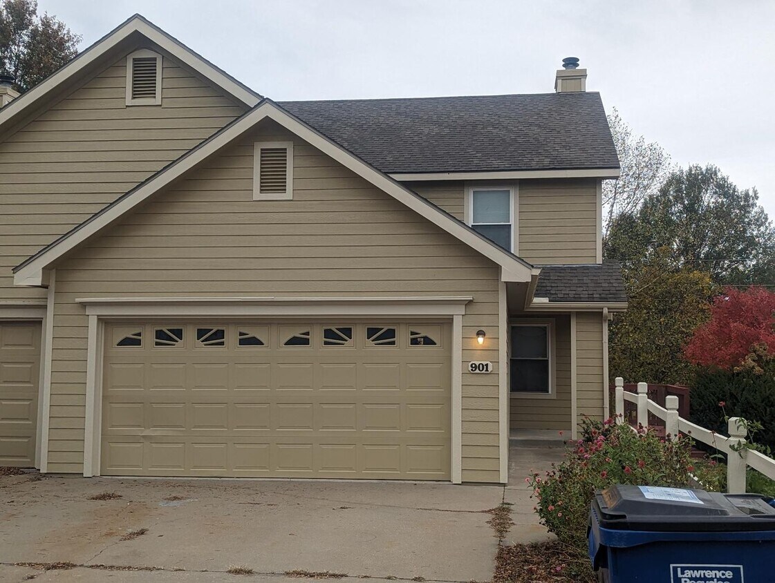
901 Christie Ct Unit 901 Christie Ct
Lawrence, KS 66049
2 Weeks Ago
|
Edit
Favorites
901 Christie Ct Unit 901 Christie Ct

Favorites
Check Back Soon for Upcoming Availability
| Beds | Baths | Average SF |
|---|---|---|
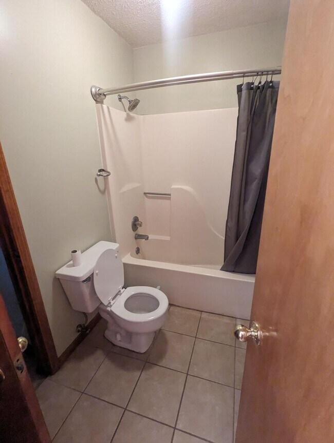
| 3 Bedrooms 3 Bedrooms 3 Br | 1.5 Baths 1.5 Baths 1.5 Ba | 1,374 SF |
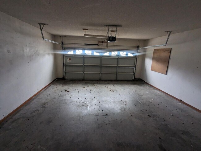
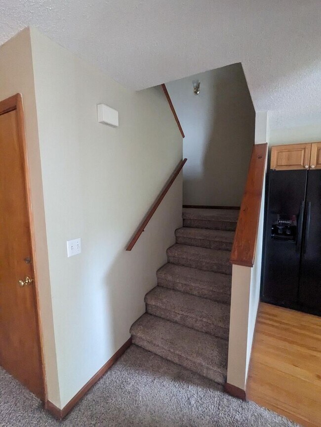
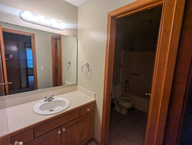
About This Property
Discover your new rental in Lawrence, KS. You'll enjoy this great address at 901 Christie Ct in Lawrence and the destinations nearby. Get a jump start on your move to a new place. Reach out to schedule a personal showing.
901 Christie Ct is an apartment community located in Douglas County and the 66049 ZIP Code.
901 Christie Ct,
Lawrence,
KS
66049
Approximately 50 miles west of Kansas City, the outer portion of Lawrence, known as West Lawrence, maintains a suburban feel with large, single-family homes, a lot of park space, and quiet streets. Residents still have the convenience of nearby restaurants and shopping, allowing for access to city amenities without big-city traffic.
This part of the city remains an active hub for schools, retail stores, and neighborhood associations. Free State High School anchors the neighborhood, and younger children attend Langston Hughes Elementary School on the west side of Lawrence. There’s quick access to I-70, making a commute anywhere a breeze.
Learn more about living in West LawrenceBelow are rent ranges for similar nearby apartments
| Beds | Average Size | Lowest | Typical | Premium |
|---|---|---|---|---|
| Studio Studio Studio | 650 Sq Ft | $1,025 | — | — |
| 1 Bed 1 Bed 1 Bed | 792-793 Sq Ft | $725 | $1,230 | $1,500 |
| 2 Beds 2 Beds 2 Beds | 1065-1067 Sq Ft | $1,045 | $1,514 | $1,790 |
| 3 Beds 3 Beds 3 Beds | 1332-1341 Sq Ft | $1,395 | $1,747 | $2,150 |
| 4 Beds 4 Beds 4 Beds | 2126 Sq Ft | $1,550 | $2,950 | $4,100 |
Education
| Colleges & Universities | Distance | ||
|---|---|---|---|
| Colleges & Universities | Distance | ||
| Drive: | 6 min | 2.9 mi | |
| Drive: | 11 min | 5.8 mi | |
| Drive: | 28 min | 19.2 mi | |
| Drive: | 34 min | 25.8 mi |
901 Christie Ct Unit 901 Christie Ct is within 6 minutes or 2.9 miles from The University of Kansas. It is also near Haskell Indian Nations Univ. and Baker University.
Walkability Near 901 Christie Ct Lawrence, KS 66049
Getting Around
 What do Walkability, Transit, Drivability, and Bikeability mean?
Walkability measures the walking distance to day-to-day needs.
Transit measures access to public transportation.
Drivability measures congestion, parking availability, and access to major roads.
Bikeability measures the suitability for cycling.
How It Works
What do Walkability, Transit, Drivability, and Bikeability mean?
Walkability measures the walking distance to day-to-day needs.
Transit measures access to public transportation.
Drivability measures congestion, parking availability, and access to major roads.
Bikeability measures the suitability for cycling.
How It Works
Fairly Walkable
Walkability
50
/ 100
Limited Public Transit
Transit
20
/ 100
Very Drivable
Drivability
80
/ 100
Fairly Bikeable
Bikeability
40
/ 100
Scores provided by
-
Soundscore™
-
/ 100
Traffic
-Airport
-Businesses
-Scores provided by
HowLoud What is a Sound Score Rating? A Sound Score Rating aggregates noise caused by vehicle traffic, airplane traffic and local sources. How It WorksYou May Also Like
Similar Rentals Nearby
-
-
-
-
-
1 / 13

-
-
-
-
-


What Are Walk Score®, Transit Score®, and Bike Score® Ratings?
Walk Score® measures the walkability of any address. Transit Score® measures access to public transit. Bike Score® measures the bikeability of any address.
What is a Sound Score Rating?
A Sound Score Rating aggregates noise caused by vehicle traffic, airplane traffic and local sources.

901 Christie Ct
Lawrence, KS 66049