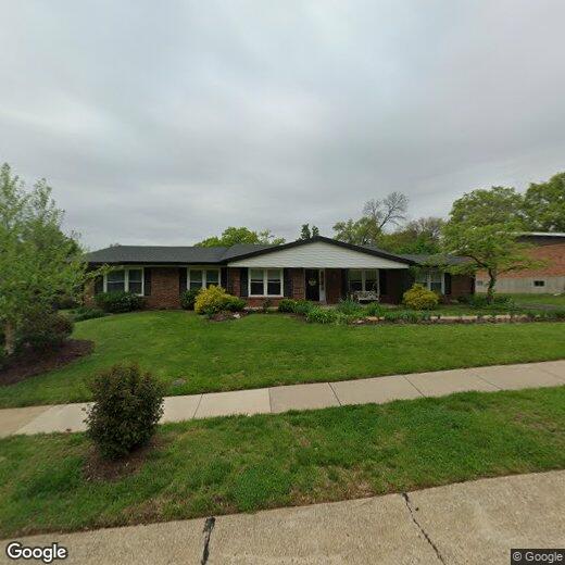

89 Burning Tree Dr
89 Burning Tree Dr
Chesterfield, MO 63017
2 Weeks Ago
Favorites
89 Burning Tree Dr

Favorites
Check Back Soon for Upcoming Availability
| Beds | Baths | Average SF |
|---|---|---|
| 1 Bedroom 1 Bedroom 1 Br | 1 Bath 1 Bath 1 Ba | — |
Location
Get Directions
Situated along the Missouri River just 21 miles west of St. Louis, Chesterfield makes a compelling case for moving to a suburban locale near the Gateway to the West. Chesterfield is the largest city of West St. Louis County, and it’s rapidly growing. This developing community is consistently ranked as one of the best to raise a family in, and it’s easy to see why. Chesterfield combines community-focused suburban feel with many high-value businesses, restaurants, and events within walking or easy driving distance from your apartment.
Proximity to the Missouri River provides plenty of opportunities to enjoy an afternoon by the water or a quick stroll through one of the parks located on its shores. This western St. Louis suburb has access to some fantastic schools, and with the big city so close, there’s something for everyone to enjoy.
Learn more about living in ChesterfieldBelow are rent ranges for similar nearby apartments
| Beds | Average Size | Lowest | Typical | Premium |
|---|---|---|---|---|
| Studio Studio Studio | 595-596 Sq Ft | $2,699 | $2,849 | $2,999 |
| 1 Bed 1 Bed 1 Bed | 838-849 Sq Ft | $2,400 | $3,112 | $5,200 |
| 2 Beds 2 Beds 2 Beds | 1108-1117 Sq Ft | $2,700 | $3,466 | $5,250 |
| 3 Beds 3 Beds 3 Beds | 1199-1222 Sq Ft | $3,200 | $4,121 | $4,731 |
| 4 Beds 4 Beds 4 Beds | 1440 Sq Ft | $4,695 | $4,895 | $4,995 |
Education
| Colleges & Universities | Distance | ||
|---|---|---|---|
| Colleges & Universities | Distance | ||
| Drive: | 7 min | 2.9 mi | |
| Drive: | 11 min | 4.8 mi | |
| Drive: | 12 min | 5.7 mi | |
| Drive: | 13 min | 5.9 mi |
89 Burning Tree Dr is within 7 minutes or 2.9 miles from Maryville Univ. Saint Louis. It is also near Missouri Baptist University and Chamberlain Nursing, St. Louis.
You May Also Like
Similar Rentals Nearby


What Are Walk Score®, Transit Score®, and Bike Score® Ratings?
Walk Score® measures the walkability of any address. Transit Score® measures access to public transit. Bike Score® measures the bikeability of any address.
What is a Sound Score Rating?
A Sound Score Rating aggregates noise caused by vehicle traffic, airplane traffic and local sources

89 Burning Tree Dr
Chesterfield, MO 63017