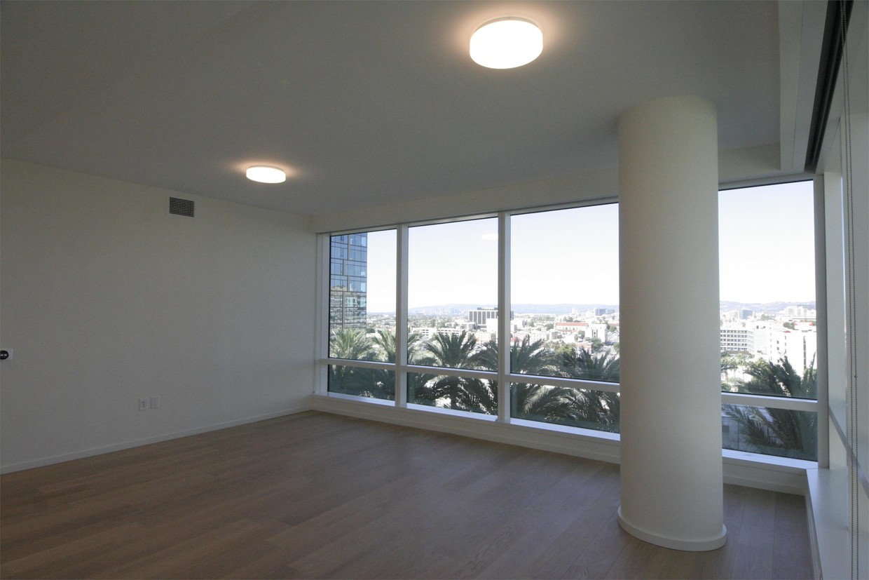
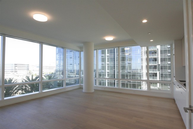


1 Bed
$2,500+
2 Beds
$2,616+
3 Beds
$3,749+
Total Monthly Price
Total Monthly Price
New
Prices include base rent and required monthly fees of $4. Variable costs based on usage may apply.
Base Rent:
1 Bed
$2,496+
2 Beds
$2,612+
3 Beds
$3,745+
Specials
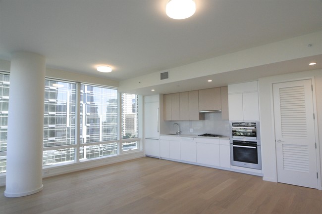
Pets Allowed Fitness Center Dishwasher In Unit Washer & Dryer Stainless Steel Appliances Package Service Smoke Free


