
Aspire Apartments
9131 Darby Ave,
Northridge, CA 91325
$2,195 - $3,595
1-2 Beds

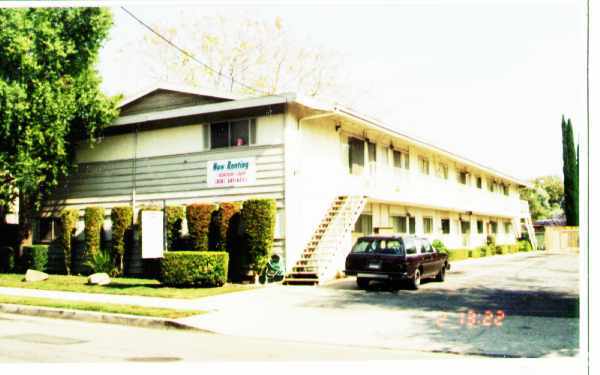
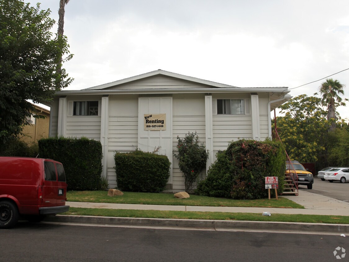

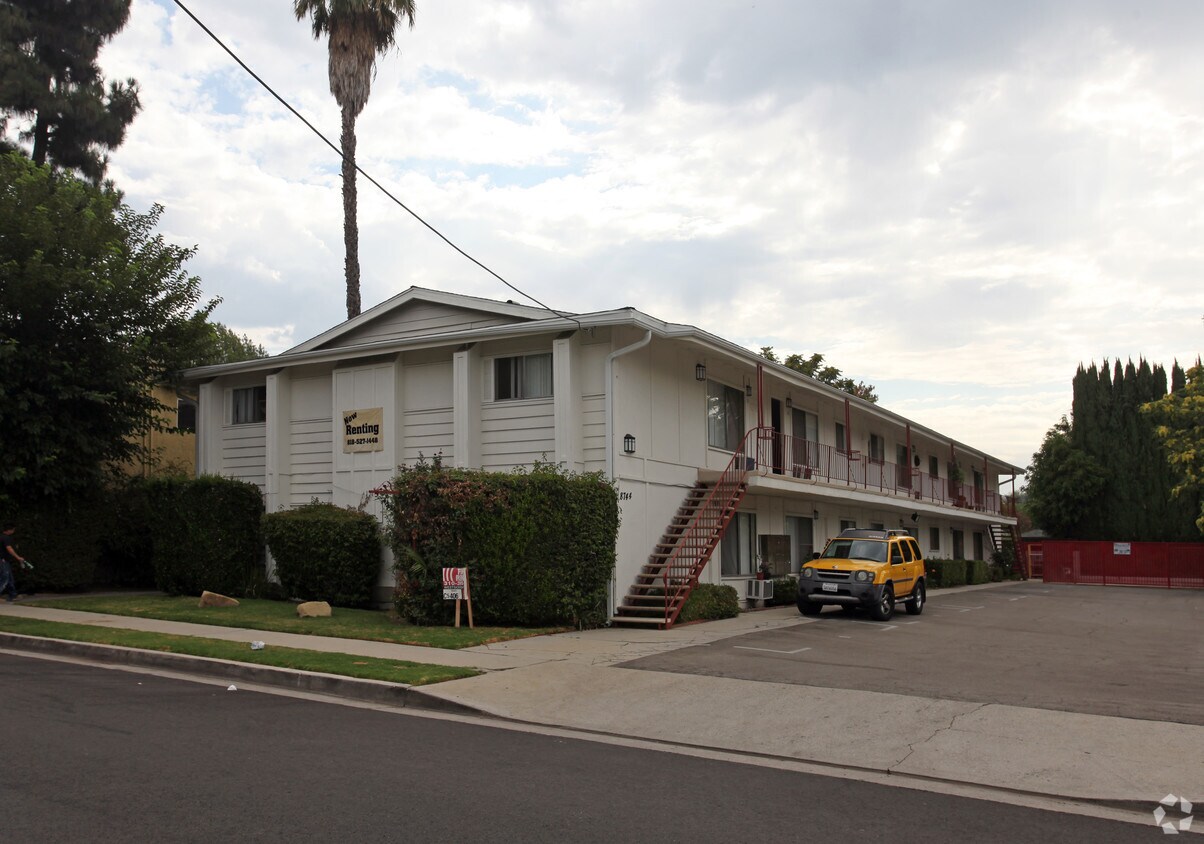
Enjoy Northridge living at 8744 Etiwanda Ave. You'll find this community in the area of Northridge. The leasing staff is excited to help you find the best floor plan for your lifestyle. It's time to find your new home. Contact or stop by 8744 Etiwanda Ave to learn more about our community!
8744 Etiwanda Ave is an apartment community located in Los Angeles County and the 91325 ZIP Code. This area is served by the Los Angeles Unified attendance zone.
Situated in the San Fernando Valley, Northridge is a vibrant suburban neighborhood of Los Angeles. Northridge is home to California State University Northridge, which offers residents access to a host of educational and cultural opportunities in addition to numerous sporting events.
Northridge is brimming with a wide variety of diverse shops, restaurants, and markets. Residents don’t have to travel far to find any of their everyday needs. The Northridge Fashion Center is a particularly popular mall for shopping, dining, and entertainment as well.
Locals enjoy convenience to plenty of parks and recreation centers, where they can engage in year-round outdoor recreation. Getting around from Northridge is a breeze with access to the 118 and 405 freeways as well as the Metrolink’s Ventura County Line.
Learn more about living in Northridge| Colleges & Universities | Distance | ||
|---|---|---|---|
| Colleges & Universities | Distance | ||
| Drive: | 5 min | 1.6 mi | |
| Drive: | 12 min | 5.9 mi | |
| Drive: | 19 min | 10.3 mi | |
| Drive: | 20 min | 11.4 mi |


Transportation options available in Northridge include North Hollywood Station, located 12.8 miles from 8744 Etiwanda Ave. 8744 Etiwanda Ave is near Bob Hope, located 11.5 miles or 22 minutes away, and Los Angeles International, located 25.8 miles or 37 minutes away.
| Transit / Subway | Distance | ||
|---|---|---|---|
| Transit / Subway | Distance | ||
|
|
Drive: | 21 min | 12.8 mi |
| Commuter Rail | Distance | ||
|---|---|---|---|
| Commuter Rail | Distance | ||
|
|
Walk: | 19 min | 1.0 mi |
|
|
Walk: | 19 min | 1.0 mi |
|
|
Drive: | 11 min | 5.6 mi |
|
|
Drive: | 11 min | 6.0 mi |
|
|
Drive: | 16 min | 9.3 mi |
| Airports | Distance | ||
|---|---|---|---|
| Airports | Distance | ||
|
Bob Hope
|
Drive: | 22 min | 11.5 mi |
|
Los Angeles International
|
Drive: | 37 min | 25.8 mi |
Time and distance from 8744 Etiwanda Ave.
| Shopping Centers | Distance | ||
|---|---|---|---|
| Shopping Centers | Distance | ||
| Walk: | 7 min | 0.4 mi | |
| Walk: | 8 min | 0.5 mi | |
| Walk: | 10 min | 0.5 mi |
| Parks and Recreation | Distance | ||
|---|---|---|---|
| Parks and Recreation | Distance | ||
|
Cal State Northridge Botanic Garden
|
Walk: | 12 min | 0.7 mi |
|
Reseda Park Lake
|
Drive: | 6 min | 3.3 mi |
|
Aliso Canyon Park
|
Drive: | 11 min | 4.8 mi |
|
Lake Balboa
|
Drive: | 11 min | 5.2 mi |
|
Limekiln State Park
|
Drive: | 9 min | 5.3 mi |
| Hospitals | Distance | ||
|---|---|---|---|
| Hospitals | Distance | ||
| Walk: | 19 min | 1.0 mi | |
| Drive: | 6 min | 3.3 mi | |
| Drive: | 7 min | 3.9 mi |
| Military Bases | Distance | ||
|---|---|---|---|
| Military Bases | Distance | ||
| Drive: | 37 min | 28.4 mi |
What Are Walk Score®, Transit Score®, and Bike Score® Ratings?
Walk Score® measures the walkability of any address. Transit Score® measures access to public transit. Bike Score® measures the bikeability of any address.
What is a Sound Score Rating?
A Sound Score Rating aggregates noise caused by vehicle traffic, airplane traffic and local sources
8744 Etiwanda Ave
Northridge, CA 91325


