

2 Beds
$1,470
Total Monthly Price
12 Month Lease
Total Monthly Price
New
Prices include all required monthly fees.
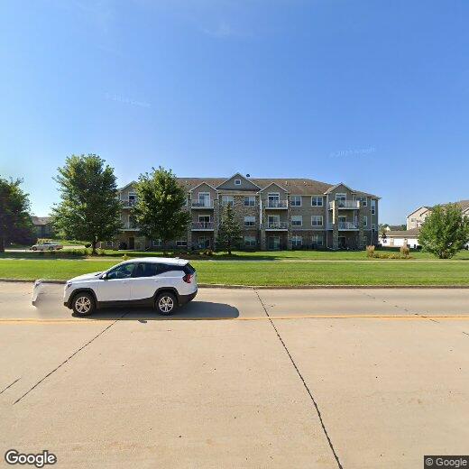
8610 Ep True Pkwy Unit 13008


