

2 Beds, 1 Bath, 720 sq ft
$1,200
Total Monthly Price
12 Month Lease
Total Monthly Price
New
Prices include all required monthly fees.
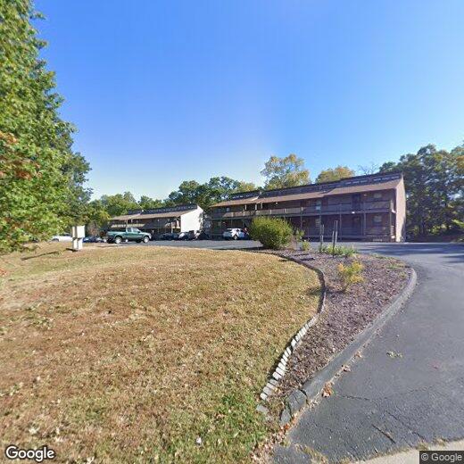
478 Hill Drive Ct Unit 34


