

$375
/ Month
7980 McClellan Blvd
Anniston, AL 36206
Favorites
7980 McClellan Blvd

Favorites
Check Back Soon for Upcoming Availability
| Beds | Baths | Average SF |
|---|---|---|
| 1 Bedroom 1 Bedroom 1 Br | 1 Bath 1 Bath 1 Ba | — |
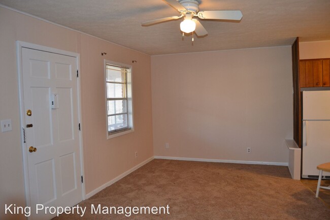
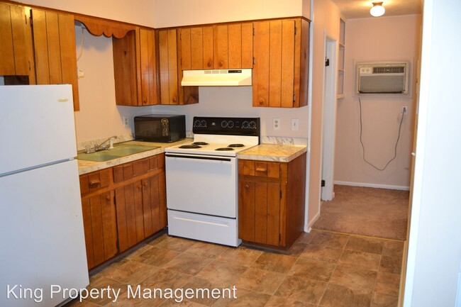
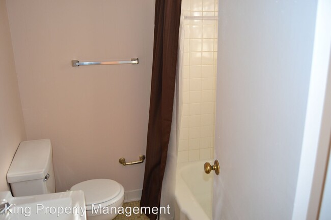
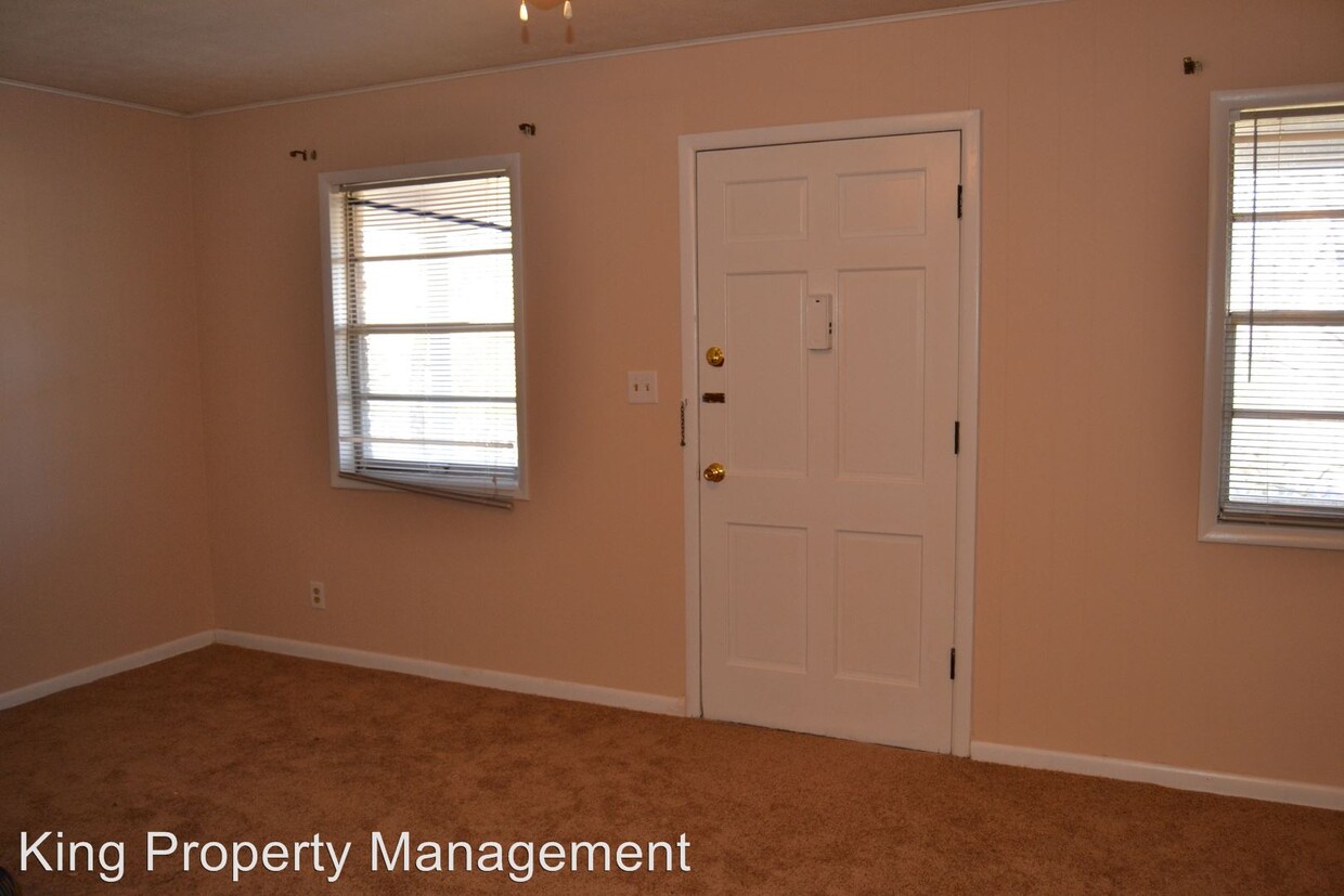
About This Property
(256) 835-5646 - Shannon Hills C6 - Shannon Hills C6 1 Bedroom 1 Bath (RLNE1880297)
7980 McClellan Blvd is an apartment community located in Calhoun County and the 36206 ZIP Code.
7980 McClellan Blvd,
Anniston,
AL
36206
Located about halfway between Birmingham and Atlanta in northeastern Alabama, Anniston is a small town nestled in the foothills of the Appalachian Mountains. Anniston is surrounded by natural beauty, offering abundant opportunities for outdoor recreation. Anniston is home to more than 15 city parks as well as the nation’s longest paved rails to trails project, the Chief Ladiga Trail, which starts in Anniston and stretches all the way to Metro Atlanta.
Anniston’s historic downtown is brimming with small-town charm and character, providing many options for shopping, dining, and entertainment in classic buildings adorned with modern murals along the walkable Noble Street. The extensive exhibits featured in the Anniston Museum of Natural History and the Berman Museum offer a deep look into the past. Easy access to I-20 makes getting around from Anniston simple.
Learn more about living in Anniston
Education
| Colleges & Universities | Distance | ||
|---|---|---|---|
| Colleges & Universities | Distance | ||
| Drive: | 11 min | 6.4 mi | |
| Drive: | 41 min | 28.7 mi | |
| Drive: | 51 min | 32.6 mi |
7980 McClellan Blvd is within 11 minutes or 6.4 miles from Jacksonville State University. It is also near Gadsden State Comm. Coll. and Talladega College.
Walkability Near 7980 McClellan Blvd Anniston, AL 36206
Getting Around
 What do Walkability, Transit, Drivability, and Bikeability mean?
Walkability measures the walking distance to day-to-day needs.
Transit measures access to public transportation.
Drivability measures congestion, parking availability, and access to major roads.
Bikeability measures the suitability for cycling.
How It Works
What do Walkability, Transit, Drivability, and Bikeability mean?
Walkability measures the walking distance to day-to-day needs.
Transit measures access to public transportation.
Drivability measures congestion, parking availability, and access to major roads.
Bikeability measures the suitability for cycling.
How It Works
Not Walkable
Walkability
10
/ 100
Exceptionally Drivable
Drivability
90
/ 100
Somewhat Bikeable
Bikeability
20
/ 100
Scores provided by
Active
Soundscore™
72
/ 100
Traffic
BusyAirport
CalmBusinesses
CalmScores provided by
HowLoud What is a Sound Score Rating? A Sound Score Rating aggregates noise caused by vehicle traffic, airplane traffic and local sources. How It WorksYou May Also Like
Similar Rentals Nearby
-
-
-
-
-
 Total Monthly Price New1 Bed$9552 Beds$1,090+Total Monthly Price12 Month LeasePrices include required monthly fees of $40.Base Rent:1 Bed$9152 Beds$1,050+
 -
-
-
-
-


What Are Walk Score®, Transit Score®, and Bike Score® Ratings?
Walk Score® measures the walkability of any address. Transit Score® measures access to public transit. Bike Score® measures the bikeability of any address.
What is a Sound Score Rating?
A Sound Score Rating aggregates noise caused by vehicle traffic, airplane traffic and local sources.
7980 McClellan Blvd
Anniston, AL 36206